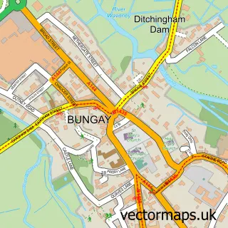
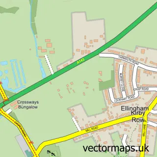
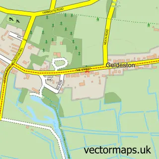
This Ditchingham street map is a detailed vector street map covering a 750m x 750m area. Select a larger area to create and download your own vector street map of Ditchingham.
The 750-metre map sample for Ditchingham covers 198 mapped buildings and approximately 9.5 km of road detail, of which 15 named roads are named. The immediate area includes 1 GP surgery within 2 miles and 3 MOT stations within 2 miles. The wider area around Ditchingham features 1 tourism point of interest and 1 campsite within 2 miles. To create a larger or custom map of Ditchingham, the map builder lets you define your own coverage area and download editable SVG, PDF and PNG files.
Create a larger editable map of Ditchingham
Choose any area you need and generate a high-quality vector map instantly. Perfect for print, planning, design, business and personal use.

This Ditchingham street map in Norfolk is available as downloadable SVG, PDF and PNG map files, or as a printed map for planning, business, display, education, local information and design work. You can also create a larger custom map area using the map selector.
What this Ditchingham map sample shows
Ditchingham lies within Ditchingham Cp parish, part of Ditchingham & Earsham ward in the South Norfolk District local authority area. The postcode geography for this area includes the NR postcode area, the NR35 postcode district and the NR35 2 postcode sector. Residents fall under the Nhs Norfolk And Waveney Integrated Care Board for NHS services.
Local features near Ditchingham
Within 2 milesAmenities and services in and around Ditchingham.
Administrative and postcode information for Ditchingham
The local authority covering Ditchingham is South Norfolk District, within the county of Norfolk. The settlement lies within Ditchingham & Earsham ward and Ditchingham Cp civil parish. The NR35 postcode district and NR35 2 postcode sector serve the immediate area. NHS provision in the area is delivered through Norfolk And Norwich University Hospitals Nhs Foundation Trust.
Nearby street map samples around Ditchingham

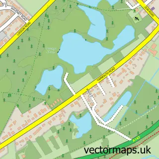
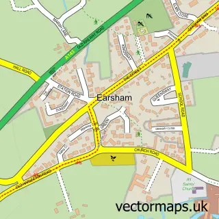
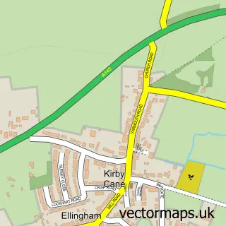
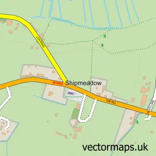
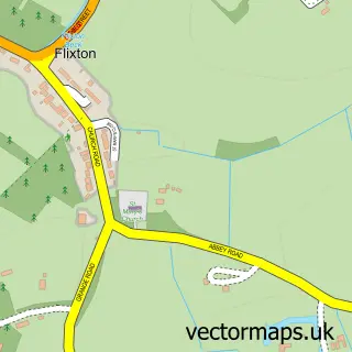
More street maps in Norfolk
750 metre map area coverage
Boundary, postcode and point of interest information for the 750m x 750m rectangle centred on this sample map.
Boundaries containing map centre
Constituency: Waveney Valley Co Const
County: Norfolk County
District: South Norfolk District
Icb: NHS Norfolk and Waveney ICB
Parish: Ditchingham CP
Police Force: norfolk
Postcode District: NR35
Postcode Sector: NR35 2
Ward: Ditchingham & Earsham Ward
Nearby boundaries intersecting sample
No additional intersecting boundaries found.
Postcode coverage
POI category counts
Convenience Store: 3
Post Office: 2
Advertising Agency: 1
Community Services Non Profits: 1
Contractor: 1
Currency Exchange: 1
Driving School: 1
Financial Service: 1
Park: 1
Pet Services: 1
Sample points of interest
- Sarah Brown Cards
- Emmaus Norfolk & Waveney
- Mayhew Builders
- Ditchingham Stores & Post office - Nisa Local
- Ditchingham Stores 37 Loddon Rd
- Nisa Local
- Post Office Travel Money
- Red Driving Instructor
- Novus Accountancy
- Ditchingham park
- Canine Clips & Cuts
- The Bird Loft
Create a larger editable map of Ditchingham
This sample shows only a 750 metre area. To create a larger map of Ditchingham, use our map builder to choose your own coverage area, add titles and download editable SVG, PDF and PNG files.
Create a custom map of Ditchingham