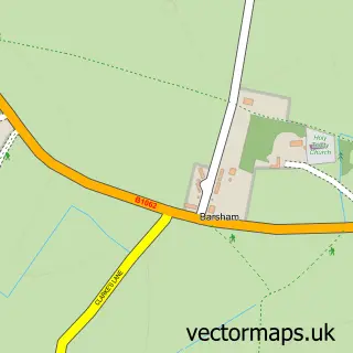
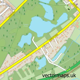
This Geldeston street map is a detailed vector street map covering a 750m x 750m area. Select a larger area to create and download your own vector street map of Geldeston.
The 750-metre map sample for Geldeston covers 101 mapped buildings and approximately 7.3 km of road detail, of which 10 named roads are named. The immediate area includes 1 pub and 1 MOT station within 2 miles. The wider area around Geldeston features 1 tourism point of interest, 1 food and drink venue and 2 campsites within 2 miles. To create a larger or custom map of Geldeston, the map builder lets you define your own coverage area and download editable SVG, PDF and PNG files.
Create a larger editable map of Geldeston
Choose any area you need and generate a high-quality vector map instantly. Perfect for print, planning, design, business and personal use.

This Geldeston street map in Norfolk is available as downloadable SVG, PDF and PNG map files, or as a printed map for planning, business, display, education, local information and design work. You can also create a larger custom map area using the map selector.
What this Geldeston map sample shows
Geldeston lies within Geldeston Cp parish, part of Ditchingham & Earsham ward in the South Norfolk District local authority area. The postcode geography for this area includes the NR postcode area, the NR34 postcode district and the NR34 0 postcode sector. Residents fall under the Nhs Norfolk And Waveney Integrated Care Board for NHS services.
Local features near Geldeston
Within 2 milesAmenities and services in and around Geldeston.
Administrative and postcode information for Geldeston
Geldeston lies within Geldeston Cp parish, part of Ditchingham & Earsham ward in the South Norfolk District local authority area. The postcode geography for this area includes the NR postcode area, the NR34 postcode district and the NR34 0 postcode sector. Residents fall under the Nhs Norfolk And Waveney Integrated Care Board for NHS services.
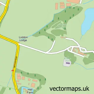
Nearby street map samples around Geldeston

More street maps in Norfolk
750 metre map area coverage
Boundary, postcode and point of interest information for the 750m x 750m rectangle centred on this sample map.
Boundaries containing map centre
Constituency: Waveney Valley Co Const
County: Norfolk County
District: South Norfolk District
Icb: NHS Norfolk and Waveney ICB
Parish: Geldeston CP
Police Force: norfolk
Postcode District: NR34
Postcode Sector: NR34 0
Ward: Ditchingham & Earsham Ward
Nearby boundaries intersecting sample
No additional intersecting boundaries found.
Postcode coverage
POI category counts
Bed And Breakfast: 1
Boat Rental And Training: 1
Canoe And Kayak Hire Service: 1
Church Cathedral: 1
Cinema: 1
Community Center: 1
Landscaping: 1
Marina: 1
Park: 1
Professional Services: 1
Sample points of interest
- Three Rivers Rooms
- Three Rivers Boat Hire
- Three Rivers Pitch & Paddle
- Waveney Marshlands Benefice
- Geldeston Village Films
- Geldeston Village Hall
- AG Landscapes & Gardens
- Rowan Craft Ltd
- Geldeston Park
- Rowan Marine
- The Wherry Inn
- River Waveney
Create a larger editable map of Geldeston
This sample shows only a 750 metre area. To create a larger map of Geldeston, use our map builder to choose your own coverage area, add titles and download editable SVG, PDF and PNG files.
Create a custom map of Geldeston