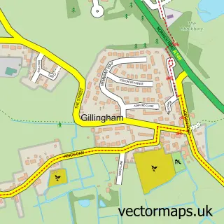
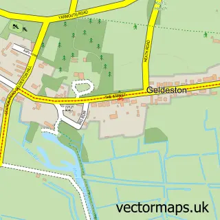
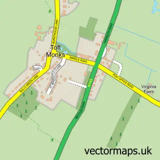
This Beccles street map is a detailed vector street map covering a 750m x 750m area. Select a larger area to create and download your own vector street map of Beccles.
The 750-metre map sample for Beccles covers 352 mapped buildings and approximately 15.1 km of road detail, of which 36 named roads are named. The immediate area includes 1 GP surgery within 2 miles, 8 pubs and 1 MOT station, with 8 within 2 miles. The wider area around Beccles features 1 tourism point of interest, 21 food and drink venues and 4 hotels. To create a larger or custom map of Beccles, the map builder lets you define your own coverage area and download editable SVG, PDF and PNG files.
Create a larger editable map of Beccles
Choose any area you need and generate a high-quality vector map instantly. Perfect for print, planning, design, business and personal use.

This Beccles street map in Suffolk is available as downloadable SVG, PDF and PNG map files, or as a printed map for planning, business, display, education, local information and design work. You can also create a larger custom map area using the map selector.
What this Beccles map sample shows
Beccles lies within Beccles Cp parish, part of Beccles & Worlingham ward in the East Suffolk District local authority area. The postcode geography for this area includes the NR postcode area, the NR34 postcode district and the NR34 9 postcode sector. Residents fall under the Nhs Norfolk And Waveney Integrated Care Board for NHS services.
Local features near Beccles
Within 2 milesAmenities and services in and around Beccles.
Administrative and postcode information for Beccles
Beccles lies within Beccles Cp parish, part of Beccles & Worlingham ward in the East Suffolk District local authority area. The postcode geography for this area includes the NR postcode area, the NR34 postcode district and the NR34 9 postcode sector. Residents fall under the Nhs Norfolk And Waveney Integrated Care Board for NHS services.
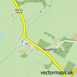
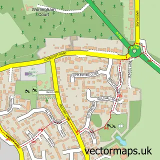
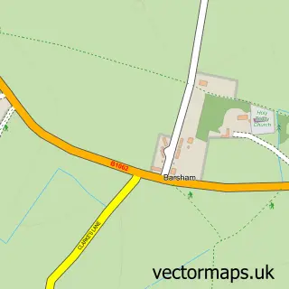
Nearby street map samples around Beccles

More street maps in Suffolk
750 metre map area coverage
Boundary, postcode and point of interest information for the 750m x 750m rectangle centred on this sample map.
Boundaries containing map centre
Constituency: Lowestoft Co Const
County: Suffolk County
District: East Suffolk District
Icb: NHS Norfolk and Waveney ICB
Parish: Beccles CP
Police Force: suffolk
Postcode District: NR34
Postcode Sector: NR34 9
Ward: Beccles & Worlingham Ward
Nearby boundaries intersecting sample
Constituency: South Norfolk Co Const
County: Norfolk County
District: South Norfolk District
Parish: Gillingham CP
Police Force: norfolk
Postcode Sector: NR34 0
Ward: Thurlton Ward
Postcode coverage
POI category counts
Beauty Salon: 14
Real Estate Agent: 11
Hair Salon: 10
Clothing Store: 9
Professional Services: 8
Pub: 8
Antique Store: 7
Cafe: 7
Jewelry Store: 7
Arts And Crafts: 6
Sample points of interest
- Dual Creative
- R Blunk Graphic Design
- Unique Cards & Print
- Beccles, St Michael the Archangel
- Wetnose Animal Aid
- Antiques At Four
- Blyburgate Antiques
- Blyburgate Antiques
- Break
- Cats Protection
- One Step Back
- Sue Ryder Care
Create a larger editable map of Beccles
This sample shows only a 750 metre area. To create a larger map of Beccles, use our map builder to choose your own coverage area, add titles and download editable SVG, PDF and PNG files.
Create a custom map of Beccles