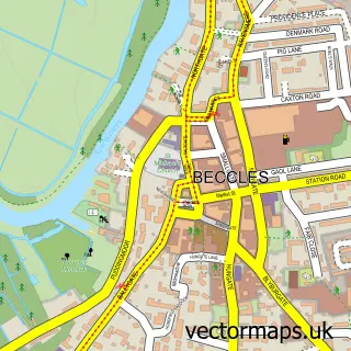
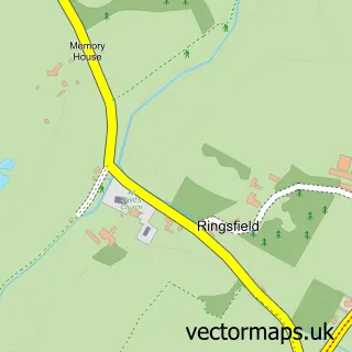
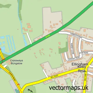
This Gillingham street map is a detailed vector street map covering a 750m x 750m area. Select a larger area to create and download your own vector street map of Gillingham.
The 750-metre map sample for Gillingham covers 215 mapped buildings and approximately 12.6 km of road detail, of which 13 named roads are named. The immediate area includes 1 school, 1 GP surgery within 2 miles and 7 MOT stations within 2 miles. The wider area around Gillingham features 1 campsite within 2 miles. To create a larger or custom map of Gillingham, the map builder lets you define your own coverage area and download editable SVG, PDF and PNG files.
Create a larger editable map of Gillingham
Choose any area you need and generate a high-quality vector map instantly. Perfect for print, planning, design, business and personal use.

This Gillingham street map in Norfolk is available as downloadable SVG, PDF and PNG map files, or as a printed map for planning, business, display, education, local information and design work. You can also create a larger custom map area using the map selector.
What this Gillingham map sample shows
Gillingham lies within Gillingham Cp parish, part of Thurlton ward in the South Norfolk District local authority area. The postcode geography for this area includes the NR postcode area, the NR34 postcode district and the NR34 0 postcode sector. Residents fall under the Nhs Norfolk And Waveney Integrated Care Board for NHS services.
Local features near Gillingham
Within 2 milesAmenities and services in and around Gillingham.
Administrative and postcode information for Gillingham
Gillingham lies within Gillingham Cp parish, part of Thurlton ward in the South Norfolk District local authority area. The postcode geography for this area includes the NR postcode area, the NR34 postcode district and the NR34 0 postcode sector. Residents fall under the Nhs Norfolk And Waveney Integrated Care Board for NHS services.
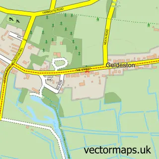
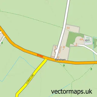
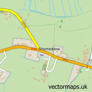
Nearby street map samples around Gillingham

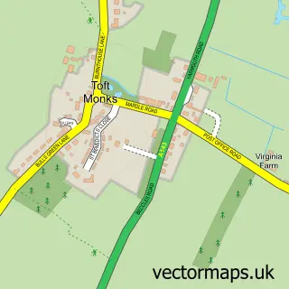
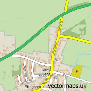
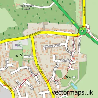
More street maps in Norfolk
750 metre map area coverage
Boundary, postcode and point of interest information for the 750m x 750m rectangle centred on this sample map.
Boundaries containing map centre
Constituency: South Norfolk Co Const
County: Norfolk County
District: South Norfolk District
Icb: NHS Norfolk and Waveney ICB
Parish: Gillingham CP
Police Force: norfolk
Postcode District: NR34
Postcode Sector: NR34 0
Ward: Thurlton Ward
Nearby boundaries intersecting sample
No additional intersecting boundaries found.
Postcode coverage
POI category counts
Advertising Agency: 2
Beauty And Spa: 2
Motel: 2
Beauty Salon: 1
Community Center: 1
Education: 1
Fast Food Restaurant: 1
Flooring Store: 1
Holiday Rental Home: 1
Martial Arts Club: 1
Sample points of interest
- Different Planet
- Different Planet
- Beauty By Bonnie
- Holistique Hair System Products
- Bonnie's Beauty and Hair Salon
- Gillingham Village Hall
- Gillingham St Michaels Primary Academy
- KFC
- Naken Interiors Ltd.
- Lowlands Cottage
- Champions Martial Arts
- Swan Motel Gillingham
Create a larger editable map of Gillingham
This sample shows only a 750 metre area. To create a larger map of Gillingham, use our map builder to choose your own coverage area, add titles and download editable SVG, PDF and PNG files.
Create a custom map of Gillingham