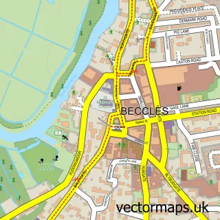
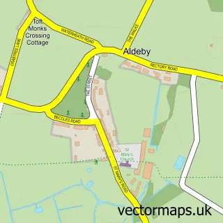
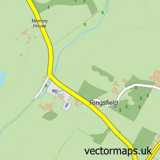
This Worlingham street map is a detailed vector street map covering a 750m x 750m area. Select a larger area to create and download your own vector street map of Worlingham.
The 750-metre map sample for Worlingham covers 397 mapped buildings and approximately 16.9 km of road detail, of which 20 named roads are named. The immediate area includes 1 GP surgery within 2 miles and 11 MOT stations within 2 miles. The wider area around Worlingham features 1 tourism point of interest. To create a larger or custom map of Worlingham, the map builder lets you define your own coverage area and download editable SVG, PDF and PNG files.
Create a larger editable map of Worlingham
Choose any area you need and generate a high-quality vector map instantly. Perfect for print, planning, design, business and personal use.

This Worlingham street map in Suffolk is available as downloadable SVG, PDF and PNG map files, or as a printed map for planning, business, display, education, local information and design work. You can also create a larger custom map area using the map selector.
What this Worlingham map sample shows
Worlingham lies within Worlingham Cp parish, part of Beccles & Worlingham ward in the East Suffolk District local authority area. The postcode geography for this area includes the NR postcode area, the NR34 postcode district and the NR34 7 postcode sector. Residents fall under the Nhs Norfolk And Waveney Integrated Care Board for NHS services.
Local features near Worlingham
Within 2 milesAmenities and services in and around Worlingham.
Administrative and postcode information for Worlingham
Worlingham lies within Worlingham Cp parish, part of Beccles & Worlingham ward in the East Suffolk District local authority area. The postcode geography for this area includes the NR postcode area, the NR34 postcode district and the NR34 7 postcode sector. Residents fall under the Nhs Norfolk And Waveney Integrated Care Board for NHS services.
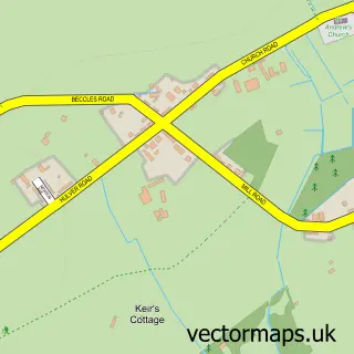
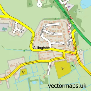
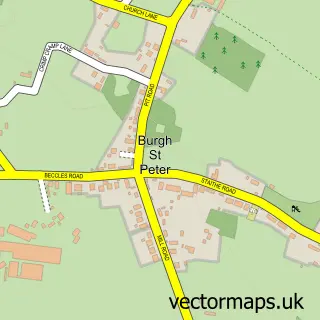
Nearby street map samples around Worlingham

More street maps in Suffolk
750 metre map area coverage
Boundary, postcode and point of interest information for the 750m x 750m rectangle centred on this sample map.
Boundaries containing map centre
Constituency: Lowestoft Co Const
County: Suffolk County
District: East Suffolk District
Icb: NHS Norfolk and Waveney ICB
Parish: Worlingham CP
Police Force: suffolk
Postcode District: NR34
Postcode Sector: NR34 7
Ward: Beccles & Worlingham Ward
Nearby boundaries intersecting sample
No additional intersecting boundaries found.
Postcode coverage
POI category counts
Building Supply Store: 2
Electrician: 2
Roofing: 2
Accountant: 1
Anglican Church: 1
Church Cathedral: 1
Contractor: 1
Driving School: 1
Educational Services: 1
Elementary School: 1
Sample points of interest
- Aims Accountants for Business
- Worlingham, All Saints
- A W Hart
- Anytime Electrical
- All Saints Church
- J and J Groundworks
- 1st Gear Driving Tuition
- Foz Studios
- Longview Electrical Ltd.
- Milne Electrical Limited
- Worlingham Primary School
- Beccles Plumbing & Heating
Create a larger editable map of Worlingham
This sample shows only a 750 metre area. To create a larger map of Worlingham, use our map builder to choose your own coverage area, add titles and download editable SVG, PDF and PNG files.
Create a custom map of Worlingham