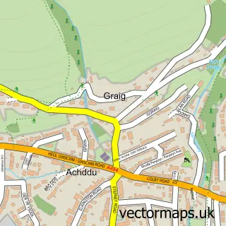
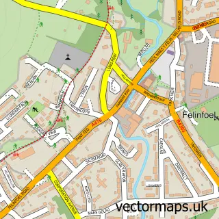
This Burry Port street map is a detailed vector street map covering a 750m x 750m area. Select a larger area to create and download your own vector street map of Burry Port.
The 750-metre map sample for Burry Port covers 470 mapped buildings and approximately 18.8 km of road detail, of which 36 named roads are named. The immediate area includes 2 schools, 1 railway station, 3 pubs and 2 MOT stations, with 4 within 2 miles. The wider area around Burry Port features 1 tourism point of interest, 8 food and drink venues and 5 hotels. To create a larger or custom map of Burry Port, the map builder lets you define your own coverage area and download editable SVG, PDF and PNG files.
Create a larger editable map of Burry Port
Choose any area you need and generate a high-quality vector map instantly. Perfect for print, planning, design, business and personal use.

This Burry Port street map in Dyfed is available as downloadable SVG, PDF and PNG map files, or as a printed map for planning, business, display, education, local information and design work. You can also create a larger custom map area using the map selector.
What this Burry Port map sample shows
Burry Port lies within Pembrey And Burry Port Town Community parish, part of Burry Port ward in the Sir Gaerfyrddin - Carmarthenshire local authority area. The postcode geography for this area includes the SA postcode area, the SA16 postcode district and the SA16 0 postcode sector. Residents fall under the Hywel Dda University Health Board for NHS services.
Local features near Burry Port
Within 2 milesAmenities and services in and around Burry Port.
Administrative and postcode information for Burry Port
The local authority covering Burry Port is Sir Gaerfyrddin - Carmarthenshire, within the county of Dyfed. The settlement lies within Burry Port ward and Pembrey And Burry Port Town Community civil parish. The SA16 postcode district and SA16 0 postcode sector serve the immediate area. NHS provision in the area is delivered through Hywel Dda University Health Board.
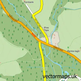
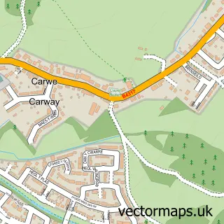
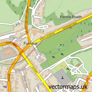
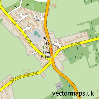
Nearby street map samples around Burry Port

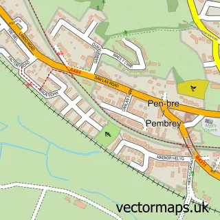
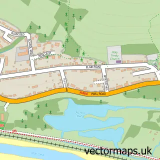
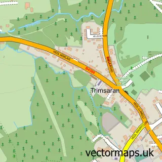
More street maps in Dyfed
750 metre map area coverage
Boundary, postcode and point of interest information for the 750m x 750m rectangle centred on this sample map.
Boundaries containing map centre
Constituency: Llanelli Co Const
District: Sir Gaerfyrddin - Carmarthenshire
Icb: Hywel Dda
Parish: Pembrey and Burry Port Town Community
Police Force: dyfed-powys
Postcode District: SA16
Postcode Sector: SA16 0
Nearby boundaries intersecting sample
No additional intersecting boundaries found.
Postcode coverage
POI category counts
Hotel: 5
Elementary School: 4
Train Station: 4
Cafe: 3
Professional Services: 3
Pub: 3
Atms: 2
Beauty Salon: 2
Bed And Breakfast: 2
Butcher Shop: 2
Sample points of interest
- Cadno Furniture & Antiques
- ATM (Post Office)
- The Cooperative Food Bury Port
- K and W Motors
- Jenkins Bakery
- Lloyds Bank
- Banking Hub
- Sandhills Bar
- Poppies Bar and Grill
- xharley_hairx
- Kevins Hairsalon Burry Port.
- Sandra's Studio One Salon
Create a larger editable map of Burry Port
This sample shows only a 750 metre area. To create a larger map of Burry Port, use our map builder to choose your own coverage area, add titles and download editable SVG, PDF and PNG files.
Create a custom map of Burry Port