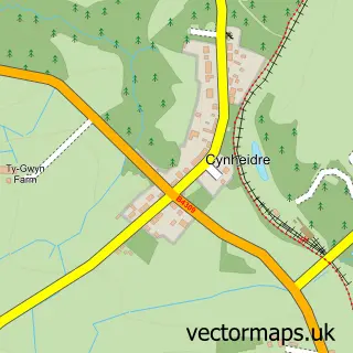
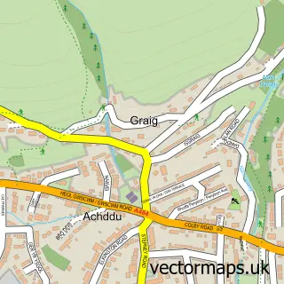
This Carway street map is a detailed vector street map covering a 750m x 750m area. Select a larger area to create and download your own vector street map of Carway.
The 750-metre map sample for Carway covers 344 mapped buildings and approximately 8.8 km of road detail, of which 12 named roads are named. The immediate area includes 1 school, 1 GP surgery within 2 miles and 1 MOT station within 2 miles. The wider area around Carway features 1 tourism point of interest and 1 food and drink venue. To create a larger or custom map of Carway, the map builder lets you define your own coverage area and download editable SVG, PDF and PNG files.
Create a larger editable map of Carway
Choose any area you need and generate a high-quality vector map instantly. Perfect for print, planning, design, business and personal use.

This Carway street map in Dyfed is available as downloadable SVG, PDF and PNG map files, or as a printed map for planning, business, display, education, local information and design work. You can also create a larger custom map area using the map selector.
What this Carway map sample shows
Carway lies within Llangyndeyrn Community parish, part of Llangyndeyrn ward in the Sir Gaerfyrddin - Carmarthenshire local authority area. The postcode geography for this area includes the SA postcode area, the SA17 postcode district and the SA17 4 postcode sector. Residents fall under the Hywel Dda University Health Board for NHS services.
Local features near Carway
Within 2 milesAmenities and services in and around Carway.
Administrative and postcode information for Carway
Carway lies within Llangyndeyrn Community parish, part of Llangyndeyrn ward in the Sir Gaerfyrddin - Carmarthenshire local authority area. The postcode geography for this area includes the SA postcode area, the SA17 postcode district and the SA17 4 postcode sector. Residents fall under the Hywel Dda University Health Board for NHS services.
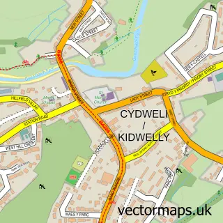
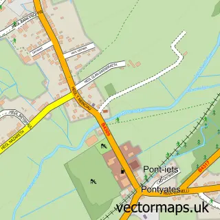
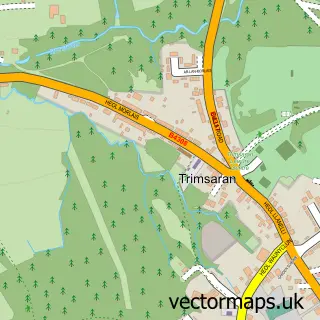
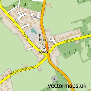
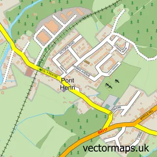
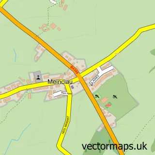
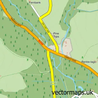
Nearby street map samples around Carway

More street maps in Dyfed
750 metre map area coverage
Boundary, postcode and point of interest information for the 750m x 750m rectangle centred on this sample map.
Boundaries containing map centre
Constituency: Llanelli Co Const
District: Sir Gaerfyrddin - Carmarthenshire
Icb: Hywel Dda
Parish: Llangyndeyrn Community
Police Force: dyfed-powys
Postcode District: SA17
Postcode Sector: SA17 4
Nearby boundaries intersecting sample
Parish: Llanelli Rural Community
Postcode District: SA15
Postcode Sector: SA15 5
Postcode coverage
POI category counts
Post Office: 4
Auto Electrical Repair: 2
Arts And Entertainment: 1
Beauty Salon: 1
Building Supply Store: 1
Cafe: 1
Community Services Non Profits: 1
Contractor: 1
Driving School: 1
Electrician: 1
Sample points of interest
- Carway
- Ace Aerials & Electrical
- Ace Aerials & Satellites
- It’s in the detail
- Ace Aerials & Electrics
- Fully loaded burger van
- Neuadd Carwe/Carway Hall
- Llanelli Boiler Pro
- Eden Driving School
- ACE Electrics
- Hassie Electrical Ltd
- Barrie Hughes Florist
Create a larger editable map of Carway
This sample shows only a 750 metre area. To create a larger map of Carway, use our map builder to choose your own coverage area, add titles and download editable SVG, PDF and PNG files.
Create a custom map of Carway