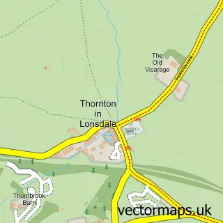
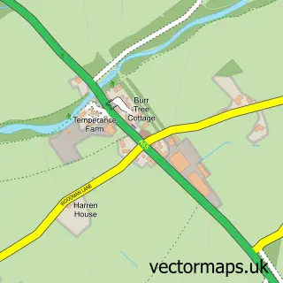
This Burton in Lonsdale street map is a detailed vector street map covering a 750m x 750m area. Select a larger area to create and download your own vector street map of Burton in Lonsdale.
The 750-metre map sample for Burton in Lonsdale covers 134 mapped buildings and approximately 12.0 km of road detail, of which 14 named roads are named. The immediate area includes 1 GP surgery within 2 miles and 1 pub. The wider area around Burton in Lonsdale features 2 food and drink venues and 2 campsites within 2 miles. To create a larger or custom map of Burton in Lonsdale, the map builder lets you define your own coverage area and download editable SVG, PDF and PNG files.
Create a larger editable map of Burton in Lonsdale
Choose any area you need and generate a high-quality vector map instantly. Perfect for print, planning, design, business and personal use.

This Burton in Lonsdale street map in North Yorkshire is available as downloadable SVG, PDF and PNG map files, or as a printed map for planning, business, display, education, local information and design work. You can also create a larger custom map area using the map selector.
What this Burton in Lonsdale map sample shows
Burton in Lonsdale lies within Burton In Lonsdale Cp parish, part of Bentham ward in the North Yorkshire local authority area. The postcode geography for this area includes the LA postcode area, the LA6 postcode district and the LA6 3 postcode sector. Residents fall under the Nhs Lancashire And South Cumbria Integrated Care Board for NHS services.
Local features near Burton in Lonsdale
Within 2 milesAmenities and services in and around Burton in Lonsdale.
Administrative and postcode information for Burton in Lonsdale
Burton in Lonsdale lies within Burton In Lonsdale Cp parish, part of Bentham ward in the North Yorkshire local authority area. The postcode geography for this area includes the LA postcode area, the LA6 postcode district and the LA6 3 postcode sector. Residents fall under the Nhs Lancashire And South Cumbria Integrated Care Board for NHS services.
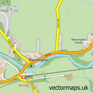
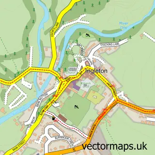
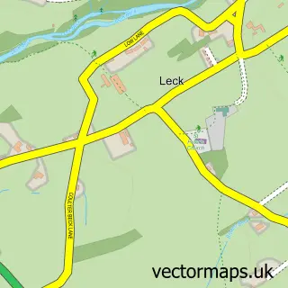
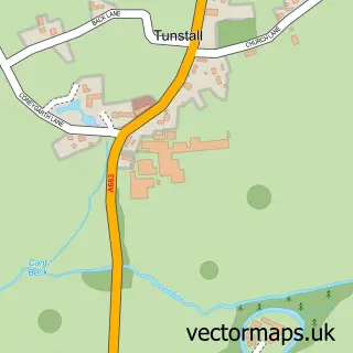
Nearby street map samples around Burton in Lonsdale

More street maps in North Yorkshire
750 metre map area coverage
Boundary, postcode and point of interest information for the 750m x 750m rectangle centred on this sample map.
Boundaries containing map centre
Constituency: Skipton and Ripon Co Const
District: North Yorkshire
Icb: NHS Lancashire and South Cumbria ICB
Parish: Burton in Lonsdale CP
Police Force: north yorkshire
Postcode District: LA6
Postcode Sector: LA6 3
Nearby boundaries intersecting sample
Parish: Bentham CP
Postcode coverage
POI category counts
Clothing Store: 2
It Service And Computer Repair: 2
Shipping Center: 2
Anglican Church: 1
Bed And Breakfast: 1
Cafe: 1
Church Cathedral: 1
Community Center: 1
Convenience Store: 1
Dentist: 1
Sample points of interest
- Burton-in-Lonsdale: All Saints
- River Cottage
- Appetisers
- All Saints Church
- A Beautiful Mummy Breastfeeding & Maternity Boutique
- Maternal Instincts
- Burton In Lonsdale Village Hall
- Burton Village Shop
- George & Dragon Dent, Cumbria
- B & W Funerals
- Stream Computer Services
- The Multimedia Shop
Create a larger editable map of Burton in Lonsdale
This sample shows only a 750 metre area. To create a larger map of Burton in Lonsdale, use our map builder to choose your own coverage area, add titles and download editable SVG, PDF and PNG files.
Create a custom map of Burton in Lonsdale