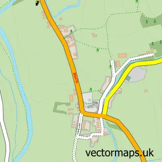
This Clapham street map is a detailed vector street map covering a 750m x 750m area. Select a larger area to create and download your own vector street map of Clapham.
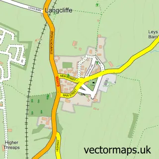
The 750-metre map sample for Clapham covers 129 mapped buildings and approximately 10.5 km of road detail, of which 8 named roads are named. The immediate area includes 1 pub and 1 MOT station within 2 miles. The wider area around Clapham features 3 food and drink venues, 1 hotel and 3 campsites within 2 miles. To create a larger or custom map of Clapham, the map builder lets you define your own coverage area and download editable SVG, PDF and PNG files.
Create a larger editable map of Clapham
Choose any area you need and generate a high-quality vector map instantly. Perfect for print, planning, design, business and personal use.

This Clapham street map in North Yorkshire is available as downloadable SVG, PDF and PNG map files, or as a printed map for planning, business, display, education, local information and design work. You can also create a larger custom map area using the map selector.
What this Clapham map sample shows
Clapham lies within Clapham Cum Newby Cp parish, part of Ingleton And Clapham ward in the North Yorkshire local authority area. The postcode geography for this area includes the LA postcode area, the LA2 postcode district and the LA2 8 postcode sector. Residents fall under the Nhs West Yorkshire Integrated Care Board for NHS services.
Local features near Clapham
Within 2 milesAmenities and services in and around Clapham.
Administrative and postcode information for Clapham
The local authority covering Clapham is North Yorkshire, within the county of North Yorkshire. The settlement lies within Ingleton And Clapham ward and Clapham Cum Newby Cp civil parish. The LA2 postcode district and LA2 8 postcode sector serve the immediate area. NHS provision in the area is delivered through University Hospitals Of Morecambe Bay Nhs Foundation Trust.
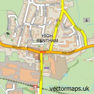
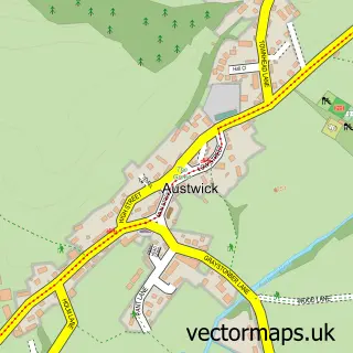
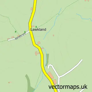
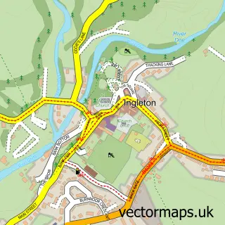
Nearby street map samples around Clapham

More street maps in North Yorkshire
750 metre map area coverage
Boundary, postcode and point of interest information for the 750m x 750m rectangle centred on this sample map.
Boundaries containing map centre
Constituency: Skipton and Ripon Co Const
District: North Yorkshire
Icb: NHS West Yorkshire ICB
Parish: Clapham cum Newby CP
Police Force: north yorkshire
Postcode District: LA2
Postcode Sector: LA2 8
Nearby boundaries intersecting sample
No additional intersecting boundaries found.
Postcode coverage
POI category counts
Bed And Breakfast: 3
Ambulance And Ems Services: 1
Anglican Church: 1
Bar: 1
Building Supply Store: 1
Cafe: 1
Charity Organization: 1
Clothing Store: 1
Coffee Shop: 1
Convenience Store: 1
Sample points of interest
- Cave Rescue Organisation
- Clapham w Keasden: St James
- Old Manor House
- Bridge Cottage Bed and Breakfast
- New Inn Hotel
- Swallows Nest Bed & Breakfast
- Total Polytunnels
- Reading Room Cafe + Bar, Clapham
- Yorkshire Dales Millennium Trust
- Glencroft
- Brookhouse
- Clapham Village Shop
Create a larger editable map of Clapham
This sample shows only a 750 metre area. To create a larger map of Clapham, use our map builder to choose your own coverage area, add titles and download editable SVG, PDF and PNG files.
Create a custom map of Clapham