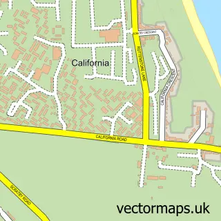
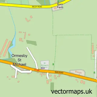
This Caister on Sea street map is a detailed vector street map covering a 750m x 750m area. Select a larger area to create and download your own vector street map of Caister on Sea.
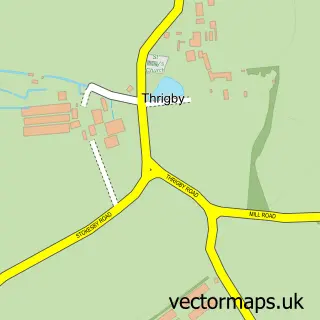
The 750-metre map sample for Caister on Sea covers 578 mapped buildings and approximately 17.8 km of road detail, of which 40 named roads are named. The immediate area includes 2 primary schools and 1 secondary school, 6 pubs and 1 MOT station within 2 miles. The wider area around Caister on Sea features 2 tourism points of interest, 6 food and drink venues and 1 hotel. To create a larger or custom map of Caister on Sea, the map builder lets you define your own coverage area and download editable SVG, PDF and PNG files.
Create a larger editable map of Caister on Sea
Choose any area you need and generate a high-quality vector map instantly. Perfect for print, planning, design, business and personal use.

This Caister on Sea street map in Norfolk is available as downloadable SVG, PDF and PNG map files, or as a printed map for planning, business, display, education, local information and design work. You can also create a larger custom map area using the map selector.
What this Caister on Sea map sample shows
Caister on Sea lies within Caister-On-Sea Cp parish, part of Caister South ward in the Great Yarmouth District (B) local authority area. The postcode geography for this area includes the NR postcode area, the NR30 postcode district and the NR30 5 postcode sector. Residents fall under the Nhs Norfolk And Waveney Integrated Care Board for NHS services.
Local features near Caister on Sea
Within 2 milesAmenities and services in and around Caister on Sea.
Administrative and postcode information for Caister on Sea
Caister on Sea lies within Caister-On-Sea Cp parish, part of Caister South ward in the Great Yarmouth District (B) local authority area. The postcode geography for this area includes the NR postcode area, the NR30 postcode district and the NR30 5 postcode sector. Residents fall under the Nhs Norfolk And Waveney Integrated Care Board for NHS services.
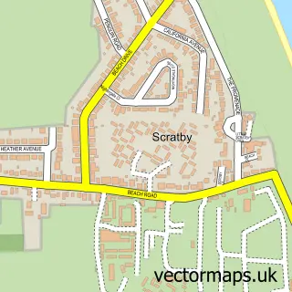
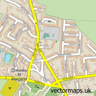
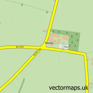
Nearby street map samples around Caister on Sea

More street maps in Norfolk
750 metre map area coverage
Boundary, postcode and point of interest information for the 750m x 750m rectangle centred on this sample map.
Boundaries containing map centre
Constituency: Great Yarmouth Co Const
County: Norfolk County
District: Great Yarmouth District (B)
Icb: NHS Norfolk and Waveney ICB
Parish: Caister-on-Sea CP
Police Force: norfolk
Postcode District: NR30
Postcode Sector: NR30 5
Ward: Caister North Ward
Nearby boundaries intersecting sample
Ward: Caister South Ward
Postcode coverage
POI category counts
Pub: 6
High School: 3
Barber: 2
Convenience Store: 2
Fish And Chips Restaurant: 2
Gym: 2
Landmark And Historical Building: 2
School: 2
Spas: 2
Supermarket: 2
Sample points of interest
- Fitness Express at the Old Hall in Caister
- Holy Trinity Church
- East of England Co-op HIGH STREET, CAISTER (CZC), Caister
- Ye Old Bakery
- All About Hair
- Kurd Barber
- Winterton Valley Holidays
- Coral
- A Little Dove Told Me
- Branford's Restaurant & Bar
- HOBS Carpentry
- Caister Community Association
Create a larger editable map of Caister on Sea
This sample shows only a 750 metre area. To create a larger map of Caister on Sea, use our map builder to choose your own coverage area, add titles and download editable SVG, PDF and PNG files.
Create a custom map of Caister on Sea