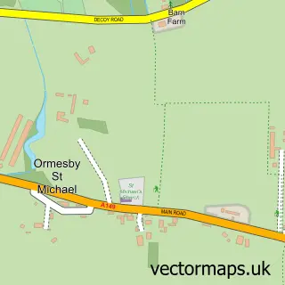
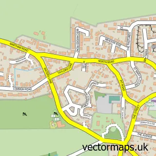
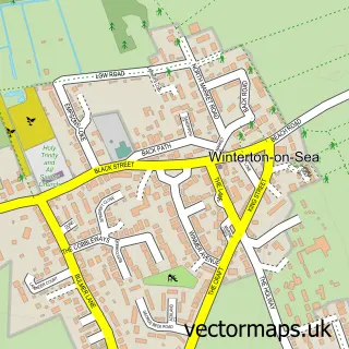
This Ormesby St Margaret street map is a detailed vector street map covering a 750m x 750m area. Select a larger area to create and download your own vector street map of Ormesby St Margaret.
The 750-metre map sample for Ormesby St Margaret covers 520 mapped buildings and approximately 15.7 km of road detail, of which 33 named roads are named. The immediate area includes 1 school, 1 GP surgery, 2 pubs and 1 MOT station within 2 miles. The wider area around Ormesby St Margaret features 1 tourism point of interest and 3 food and drink venues. To create a larger or custom map of Ormesby St Margaret, the map builder lets you define your own coverage area and download editable SVG, PDF and PNG files.
Create a larger editable map of Ormesby St Margaret
Choose any area you need and generate a high-quality vector map instantly. Perfect for print, planning, design, business and personal use.

This Ormesby St Margaret street map in Norfolk is available as downloadable SVG, PDF and PNG map files, or as a printed map for planning, business, display, education, local information and design work. You can also create a larger custom map area using the map selector.
What this Ormesby St Margaret map sample shows
Ormesby St Margaret lies within Ormesby St. Margaret With Scratby Cp parish, part of Ormesby ward in the Great Yarmouth District (B) local authority area. The postcode geography for this area includes the NR postcode area, the NR29 postcode district and the NR29 3 postcode sector. Residents fall under the Nhs Norfolk And Waveney Integrated Care Board for NHS services.
Local features near Ormesby St Margaret
Within 2 milesAmenities and services in and around Ormesby St Margaret.
Administrative and postcode information for Ormesby St Margaret
Ormesby St Margaret lies within Ormesby St. Margaret With Scratby Cp parish, part of Ormesby ward in the Great Yarmouth District (B) local authority area. The postcode geography for this area includes the NR postcode area, the NR29 postcode district and the NR29 3 postcode sector. Residents fall under the Nhs Norfolk And Waveney Integrated Care Board for NHS services.
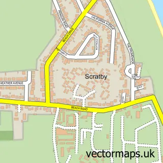
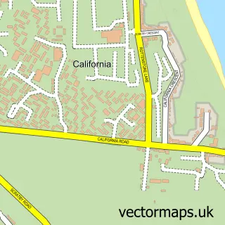
Nearby street map samples around Ormesby St Margaret

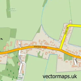
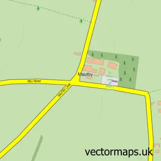
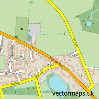
More street maps in Norfolk
750 metre map area coverage
Boundary, postcode and point of interest information for the 750m x 750m rectangle centred on this sample map.
Boundaries containing map centre
Constituency: Great Yarmouth Co Const
County: Norfolk County
District: Great Yarmouth District (B)
Icb: NHS Norfolk and Waveney ICB
Parish: Ormesby St. Margaret with Scratby CP
Police Force: norfolk
Postcode District: NR29
Postcode Sector: NR29 3
Ward: Ormesby Ward
Nearby boundaries intersecting sample
No additional intersecting boundaries found.
Postcode coverage
POI category counts
Gas Station: 5
Dentist: 4
Carpenter: 3
Beach: 2
Pharmacy: 2
Post Office: 2
Pub: 2
Atms: 1
Automotive Repair: 1
Baby Gear And Furniture: 1
Sample points of interest
- Spar - Ormesby (Protected), Ormesby St Margaret
- The Gearbox Centre
- Jojomangoes
- Cottage Barber
- Gorlston Beach Norfolk
- Scratby
- Miss Unique Beauty and Tanning Salon
- HSR Plumbing & Property Solutions
- The Norfolk Hog Roasting Company
- Jg Carpentry Services
- KJP Carpentry and Joinery
- M W T Carpentry Services
Create a larger editable map of Ormesby St Margaret
This sample shows only a 750 metre area. To create a larger map of Ormesby St Margaret, use our map builder to choose your own coverage area, add titles and download editable SVG, PDF and PNG files.
Create a custom map of Ormesby St Margaret