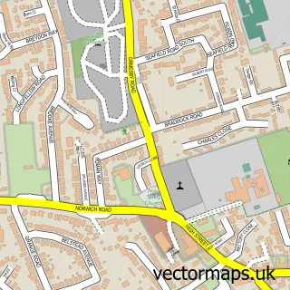
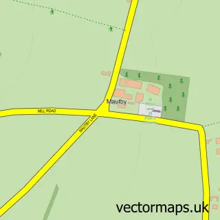
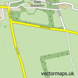
This California street map is a detailed vector street map covering a 750m x 750m area. Select a larger area to create and download your own vector street map of California.
The 750-metre map sample for California covers 317 mapped buildings and approximately 11.2 km of road detail, of which 6 named roads are named. The immediate area includes 1 GP surgery within 2 miles, 2 pubs and 1 MOT station within 2 miles. The wider area around California features 2 tourism points of interest, 3 food and drink venues and 4 hotels. To create a larger or custom map of California, the map builder lets you define your own coverage area and download editable SVG, PDF and PNG files.
Create a larger editable map of California
Choose any area you need and generate a high-quality vector map instantly. Perfect for print, planning, design, business and personal use.

This California street map in Norfolk is available as downloadable SVG, PDF and PNG map files, or as a printed map for planning, business, display, education, local information and design work. You can also create a larger custom map area using the map selector.
What this California map sample shows
California lies within Ormesby St. Margaret With Scratby Cp parish, part of Ormesby ward in the Great Yarmouth District (B) local authority area. The postcode geography for this area includes the NR postcode area, the NR29 postcode district and the NR29 3 postcode sector. Residents fall under the Nhs Norfolk And Waveney Integrated Care Board for NHS services.
Local features near California
Within 2 milesAmenities and services in and around California.
Administrative and postcode information for California
California lies within Ormesby St. Margaret With Scratby Cp parish, part of Ormesby ward in the Great Yarmouth District (B) local authority area. The postcode geography for this area includes the NR postcode area, the NR29 postcode district and the NR29 3 postcode sector. Residents fall under the Nhs Norfolk And Waveney Integrated Care Board for NHS services.
Nearby street map samples around California

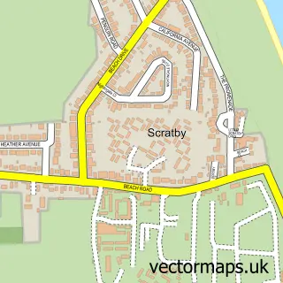
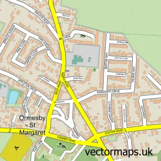
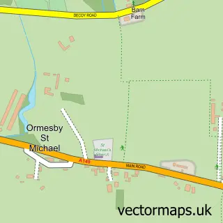
More street maps in Norfolk
750 metre map area coverage
Boundary, postcode and point of interest information for the 750m x 750m rectangle centred on this sample map.
Boundaries containing map centre
Constituency: Great Yarmouth Co Const
County: Norfolk County
District: Great Yarmouth District (B)
Icb: NHS Norfolk and Waveney ICB
Parish: Ormesby St. Margaret with Scratby CP
Police Force: norfolk
Postcode District: NR29
Postcode Sector: NR29 3
Ward: Ormesby Ward
Nearby boundaries intersecting sample
No additional intersecting boundaries found.
Postcode coverage
POI category counts
Holiday Rental Home: 15
Bar: 3
Cabin: 3
Fish And Chips Restaurant: 3
Hotel: 3
Campground: 2
Lodge: 2
Pub: 2
Arcade: 1
Cafe: 1
Sample points of interest
- Sands Amusements
- Beachcomber Family Bar
- Clifftops Showbar
- Club Oasis
- Astra Chalets
- Beachcomber Chalets
- Beachcomber Chalets
- Angelo's Cafe
- Club Oasis
- Tuddenham Caravan Park
- Orchid House Chinese
- Pink Palace Amusements
Create a larger editable map of California
This sample shows only a 750 metre area. To create a larger map of California, use our map builder to choose your own coverage area, add titles and download editable SVG, PDF and PNG files.
Create a custom map of California