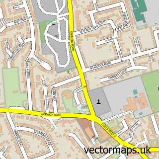
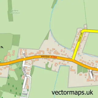
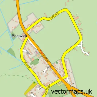
This Rollesby street map is a detailed vector street map covering a 750m x 750m area. Select a larger area to create and download your own vector street map of Rollesby.
The 750-metre map sample for Rollesby covers 234 mapped buildings and approximately 10.6 km of road detail, of which 15 named roads are named. The immediate area includes 1 school, 1 GP surgery within 2 miles and 2 MOT stations within 2 miles. To create a larger or custom map of Rollesby, the map builder lets you define your own coverage area and download editable SVG, PDF and PNG files.
Create a larger editable map of Rollesby
Choose any area you need and generate a high-quality vector map instantly. Perfect for print, planning, design, business and personal use.

This Rollesby street map in Norfolk is available as downloadable SVG, PDF and PNG map files, or as a printed map for planning, business, display, education, local information and design work. You can also create a larger custom map area using the map selector.
What this Rollesby map sample shows
Rollesby lies within Rollesby Cp parish, part of West Flegg ward in the Great Yarmouth District (B) local authority area. The postcode geography for this area includes the NR postcode area, the NR29 postcode district and the NR29 5 postcode sector. Residents fall under the Nhs Norfolk And Waveney Integrated Care Board for NHS services.
Local features near Rollesby
Within 2 milesAmenities and services in and around Rollesby.
Administrative and postcode information for Rollesby
The local authority covering Rollesby is Great Yarmouth District (B), within the county of Norfolk. The settlement lies within West Flegg ward and Rollesby Cp civil parish. The NR29 postcode district and NR29 5 postcode sector serve the immediate area. NHS provision in the area is delivered through James Paget University Hospitals Nhs Foundation Trust.
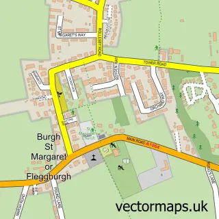
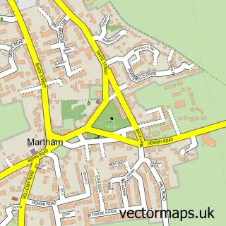
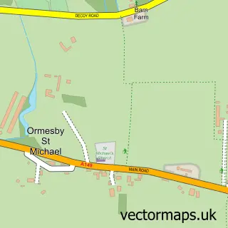
Nearby street map samples around Rollesby

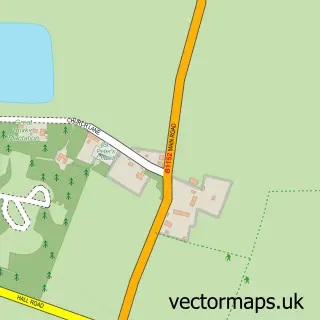
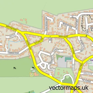
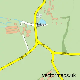
More street maps in Norfolk
750 metre map area coverage
Boundary, postcode and point of interest information for the 750m x 750m rectangle centred on this sample map.
Boundaries containing map centre
Constituency: Great Yarmouth Co Const
County: Norfolk County
District: Great Yarmouth District (B)
Icb: NHS Norfolk and Waveney ICB
Parish: Rollesby CP
Police Force: norfolk
Postcode District: NR29
Postcode Sector: NR29 5
Ward: West Flegg Ward
Nearby boundaries intersecting sample
No additional intersecting boundaries found.
Postcode coverage
POI category counts
Arts And Crafts: 1
Bridal Shop: 1
Day Care Preschool: 1
Hair Salon: 1
Home Goods Store: 1
Hvac Services: 1
Key And Locksmith: 1
Massage Therapy: 1
Playground: 1
School: 1
Sample points of interest
- The Lost Sheep Wool Shop
- Once Upon a Time Wedding Stationery
- Friends of Rollesby Primary School with Nursery
- R Hair and Beauty lounge
- Belle Vue Interiors
- Keith Howard
- Pick & Fix Locksmiths
- Zen Massage Therapy
- Rollesby Playing Field
- Rollesby Primary and Nursery School
- Riverside Rentals
- Job Done Window Cleaning
Create a larger editable map of Rollesby
This sample shows only a 750 metre area. To create a larger map of Rollesby, use our map builder to choose your own coverage area, add titles and download editable SVG, PDF and PNG files.
Create a custom map of Rollesby