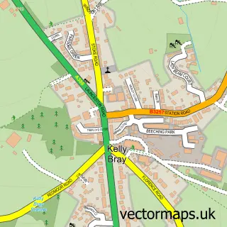
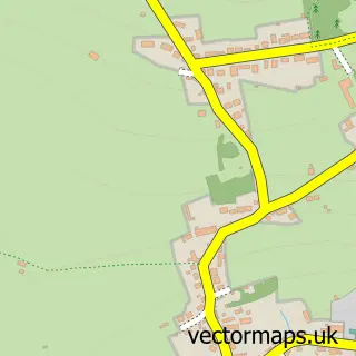
This Callington street map is a detailed vector street map covering a 750m x 750m area. Select a larger area to create and download your own vector street map of Callington.
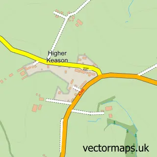
The 750-metre map sample for Callington covers 541 mapped buildings and approximately 18.7 km of road detail, of which 55 named roads are named. The immediate area includes 1 school, 1 GP surgery within 2 miles, 4 pubs and 1 MOT station, with 5 within 2 miles. The wider area around Callington features 4 tourism points of interest and 12 food and drink venues. To create a larger or custom map of Callington, the map builder lets you define your own coverage area and download editable SVG, PDF and PNG files.
Create a larger editable map of Callington
Choose any area you need and generate a high-quality vector map instantly. Perfect for print, planning, design, business and personal use.

This Callington street map in Cornwall is available as downloadable SVG, PDF and PNG map files, or as a printed map for planning, business, display, education, local information and design work. You can also create a larger custom map area using the map selector.
What this Callington map sample shows
Callington lies within Callington Cp parish, part of Callington ward in the Cornwall local authority area. The postcode geography for this area includes the PL postcode area, the PL17 postcode district and the PL17 7 postcode sector. Residents fall under the Nhs Cornwall And The Isles Of Scilly Integrated Care Board for NHS services.
Local features near Callington
Within 2 milesAmenities and services in and around Callington.
Administrative and postcode information for Callington
Callington lies within Callington Cp parish, part of Callington ward in the Cornwall local authority area. The postcode geography for this area includes the PL postcode area, the PL17 postcode district and the PL17 7 postcode sector. Residents fall under the Nhs Cornwall And The Isles Of Scilly Integrated Care Board for NHS services.
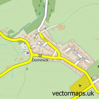
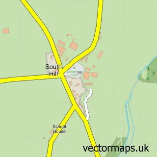
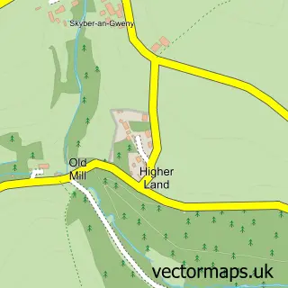
Nearby street map samples around Callington

More street maps in Cornwall
750 metre map area coverage
Boundary, postcode and point of interest information for the 750m x 750m rectangle centred on this sample map.
Boundaries containing map centre
Constituency: South East Cornwall Co Const
District: Cornwall
Icb: NHS Cornwall and the Isles of Scilly ICB
Parish: Callington CP
Police Force: devon and cornwall
Postcode District: PL17
Postcode Sector: PL17 7
Nearby boundaries intersecting sample
No additional intersecting boundaries found.
Postcode coverage
POI category counts
Real Estate Agent: 7
Beauty Salon: 5
Banks: 4
Barber: 4
Hair Salon: 4
Professional Services: 4
Pub: 4
Automotive Repair: 3
Bakery: 3
Cafe: 3
Sample points of interest
- Dawe Hawken & Dodd
- Tamar Cars
- St. Mary's, Callington
- Las Olas Antiques
- St Lukes Hospice Callington Charity Shops
- 4-4 Gallery
- Callington School of Art
- Framin' Crafty
- So I Sell - Haberdashery Stall
- Red Panda
- Hoonshine Detailing UK
- Jim Miller Car Sales
Create a larger editable map of Callington
This sample shows only a 750 metre area. To create a larger map of Callington, use our map builder to choose your own coverage area, add titles and download editable SVG, PDF and PNG files.
Create a custom map of Callington