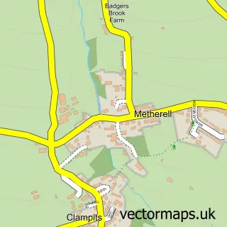
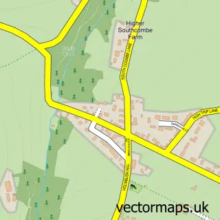
This Harrowbarrow street map is a detailed vector street map covering a 750m x 750m area. Select a larger area to create and download your own vector street map of Harrowbarrow.
The 750-metre map sample for Harrowbarrow covers 153 mapped buildings and approximately 5.1 km of road detail, of which 2 named roads are named. The immediate area includes 1 pub and 4 MOT stations within 2 miles. The wider area around Harrowbarrow features 1 food and drink venue. To create a larger or custom map of Harrowbarrow, the map builder lets you define your own coverage area and download editable SVG, PDF and PNG files.
Create a larger editable map of Harrowbarrow
Choose any area you need and generate a high-quality vector map instantly. Perfect for print, planning, design, business and personal use.

This Harrowbarrow street map in Cornwall is available as downloadable SVG, PDF and PNG map files, or as a printed map for planning, business, display, education, local information and design work. You can also create a larger custom map area using the map selector.
What this Harrowbarrow map sample shows
Harrowbarrow lies within Calstock Cp parish, part of St Dominick, Harrowbarrow And Kelly Bray ward in the Cornwall local authority area. The postcode geography for this area includes the PL postcode area, the PL17 postcode district and the PL17 8 postcode sector. Residents fall under the Nhs Cornwall And The Isles Of Scilly Integrated Care Board for NHS services.
Local features near Harrowbarrow
Within 2 milesAmenities and services in and around Harrowbarrow.
Administrative and postcode information for Harrowbarrow
The local authority covering Harrowbarrow is Cornwall, within the county of Cornwall. The settlement lies within St Dominick, Harrowbarrow And Kelly Bray ward and Calstock Cp civil parish. The PL17 postcode district and PL17 8 postcode sector serve the immediate area. NHS provision in the area is delivered through University Hospitals Plymouth Nhs Trust.
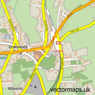
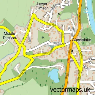
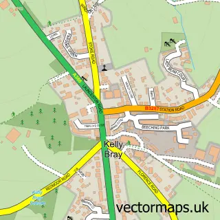
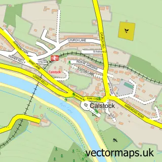
Nearby street map samples around Harrowbarrow
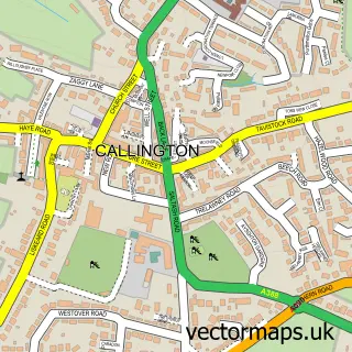

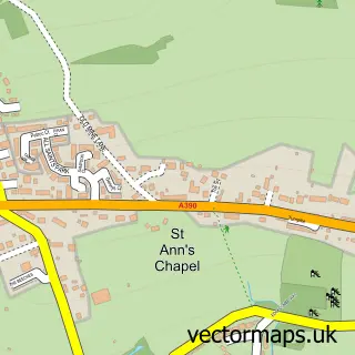
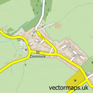
More street maps in Cornwall
750 metre map area coverage
Boundary, postcode and point of interest information for the 750m x 750m rectangle centred on this sample map.
Boundaries containing map centre
Constituency: South East Cornwall Co Const
District: Cornwall
Icb: NHS Cornwall and the Isles of Scilly ICB
Parish: Calstock CP
Police Force: devon and cornwall
Postcode District: PL17
Postcode Sector: PL17 8
Nearby boundaries intersecting sample
No additional intersecting boundaries found.
Postcode coverage
POI category counts
Marketing Consultant: 2
Advertising Agency: 1
Arts And Entertainment: 1
British Restaurant: 1
Business Consulting: 1
Holiday Rental Home: 1
Nursery And Gardening: 1
Post Office: 1
Preschool: 1
Professional Services: 1
Sample points of interest
- Bluemoon Print & Promotions
- Harrowbarrow and Metherell Village Hall
- Sleepy Hollow Farm Lord Chicken Restaurant
- ABS Consultants
- The Old Sunday School
- Origami Group
- Origami Sme Llp
- Rising Sun Nurseries
- Harrowbarrow Post Office
- Harrowbarrow & Metherell Preschool
- The Calstock Parish Archive
- Rising Sun, Cornwall
Create a larger editable map of Harrowbarrow
This sample shows only a 750 metre area. To create a larger map of Harrowbarrow, use our map builder to choose your own coverage area, add titles and download editable SVG, PDF and PNG files.
Create a custom map of Harrowbarrow