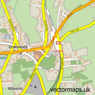
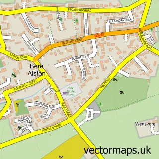
This Metherell street map is a detailed vector street map covering a 750m x 750m area. Select a larger area to create and download your own vector street map of Metherell.
The 750-metre map sample for Metherell covers 150 mapped buildings and approximately 10.4 km of road detail, of which 3 named roads are named. The immediate area includes 1 pub and 3 MOT stations within 2 miles. The wider area around Metherell features 1 food and drink venue. To create a larger or custom map of Metherell, the map builder lets you define your own coverage area and download editable SVG, PDF and PNG files.
Create a larger editable map of Metherell
Choose any area you need and generate a high-quality vector map instantly. Perfect for print, planning, design, business and personal use.

This Metherell street map in Cornwall is available as downloadable SVG, PDF and PNG map files, or as a printed map for planning, business, display, education, local information and design work. You can also create a larger custom map area using the map selector.
What this Metherell map sample shows
Metherell lies within Calstock Cp parish, part of St Dominick, Harrowbarrow And Kelly Bray ward in the Cornwall local authority area. The postcode geography for this area includes the PL postcode area, the PL17 postcode district and the PL17 8 postcode sector. Residents fall under the Nhs Cornwall And The Isles Of Scilly Integrated Care Board for NHS services.
Local features near Metherell
Within 2 milesAmenities and services in and around Metherell.
Administrative and postcode information for Metherell
Metherell lies within Calstock Cp parish, part of St Dominick, Harrowbarrow And Kelly Bray ward in the Cornwall local authority area. The postcode geography for this area includes the PL postcode area, the PL17 postcode district and the PL17 8 postcode sector. Residents fall under the Nhs Cornwall And The Isles Of Scilly Integrated Care Board for NHS services.
Nearby street map samples around Metherell
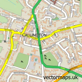

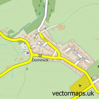
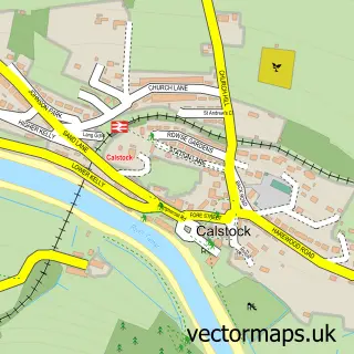
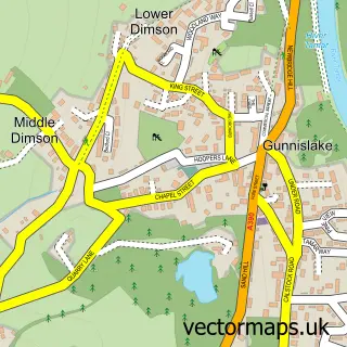
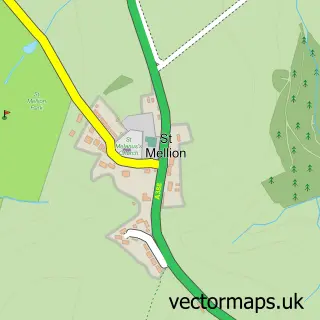
More street maps in Cornwall
750 metre map area coverage
Boundary, postcode and point of interest information for the 750m x 750m rectangle centred on this sample map.
Boundaries containing map centre
Constituency: South East Cornwall Co Const
District: Cornwall
Icb: NHS Cornwall and the Isles of Scilly ICB
Parish: Calstock CP
Police Force: devon and cornwall
Postcode District: PL17
Postcode Sector: PL17 8
Nearby boundaries intersecting sample
No additional intersecting boundaries found.
Postcode coverage
POI category counts
Art Restoration Service: 1
Building Supply Store: 1
College University: 1
Construction Services: 1
Cosmetic And Beauty Supplies: 1
It Service And Computer Repair: 1
Lumber Store: 1
Motorcycle Dealer: 1
Professional Services: 1
Pub: 1
Sample points of interest
- R Marshall-Evans
- Colin Chadwick Tree Specialist
- Duchy College Sports and Outdoor Adventure
- Paul Thornton
- Cosmetic Contour Permanent Makeup
- I.T Solutions
- Wildlife Woodlands
- Montys Classic Motorcycles
- Fontworks
- The Carpenters Arms
- Computech I.T Services
- Essential Yoga
Create a larger editable map of Metherell
This sample shows only a 750 metre area. To create a larger map of Metherell, use our map builder to choose your own coverage area, add titles and download editable SVG, PDF and PNG files.
Create a custom map of Metherell