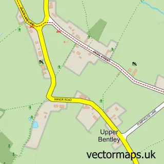
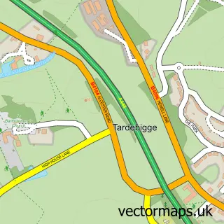
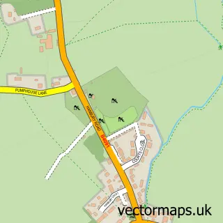
This Callow Hill street map is a detailed vector street map covering a 750m x 750m area. Select a larger area to create and download your own vector street map of Callow Hill.
The 750-metre map sample for Callow Hill covers 293 mapped buildings and approximately 31.0 km of road detail, of which 15 named roads are named. The immediate area includes 4 GP surgeries within 2 miles and 5 MOT stations within 2 miles. The wider area around Callow Hill features 1 tourism point of interest. To create a larger or custom map of Callow Hill, the map builder lets you define your own coverage area and download editable SVG, PDF and PNG files.
Create a larger editable map of Callow Hill
Choose any area you need and generate a high-quality vector map instantly. Perfect for print, planning, design, business and personal use.

This Callow Hill street map in Worcestershire is available as downloadable SVG, PDF and PNG map files, or as a printed map for planning, business, display, education, local information and design work. You can also create a larger custom map area using the map selector.
What this Callow Hill map sample shows
Callow Hill lies within Worcestershire County parish, part of Headless Cross And Oakenshaw ward in the Redditch District (B) local authority area. The postcode geography for this area includes the B postcode area, the B97 postcode district and the B97 5 postcode sector. Residents fall under the Nhs Herefordshire And Worcestershire Integrated Care Board for NHS services.
Local features near Callow Hill
Within 2 milesAmenities and services in and around Callow Hill.
Administrative and postcode information for Callow Hill
Callow Hill lies within Worcestershire County parish, part of Headless Cross And Oakenshaw ward in the Redditch District (B) local authority area. The postcode geography for this area includes the B postcode area, the B97 postcode district and the B97 5 postcode sector. Residents fall under the Nhs Herefordshire And Worcestershire Integrated Care Board for NHS services.
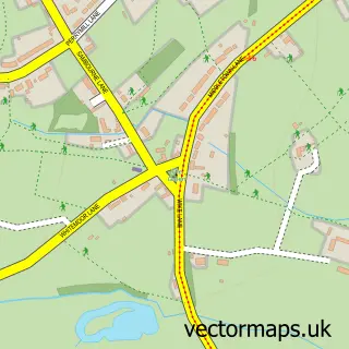
Nearby street map samples around Callow Hill

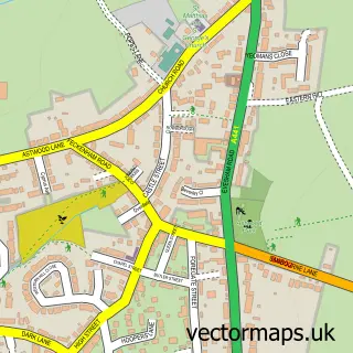
More street maps in Worcestershire
750 metre map area coverage
Boundary, postcode and point of interest information for the 750m x 750m rectangle centred on this sample map.
Boundaries containing map centre
Constituency: Redditch Co Const
County: Worcestershire County
District: Redditch District (B)
Icb: NHS Herefordshire and Worcestershire ICB
Police Force: west mercia
Postcode District: B97
Postcode Sector: B97 5
Ward: Webheath & Callow Hill Ward
Nearby boundaries intersecting sample
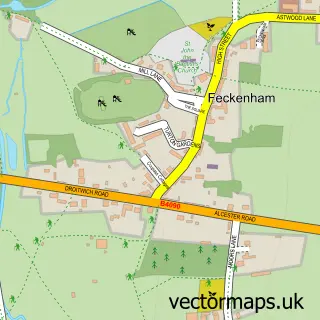
Parish: Feckenham CP
Ward: Astwood Bank & Feckenham Ward
Postcode coverage
POI category counts
Antique Store: 1
Bar: 1
Graphic Designer: 1
Medical Center: 1
Park: 1
Physical Therapy: 1
Plumbing: 1
Sample points of interest
- R & S Antiques
- China Grey
- Steph's Sketches
- Parklands
- Morton Stanley Park
- LIFT Physiotherapy
- Powles Plumbing & Heating
Create a larger editable map of Callow Hill
This sample shows only a 750 metre area. To create a larger map of Callow Hill, use our map builder to choose your own coverage area, add titles and download editable SVG, PDF and PNG files.
Create a custom map of Callow Hill