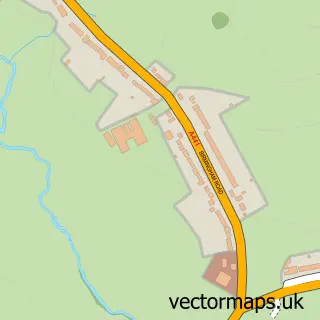
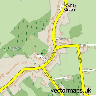
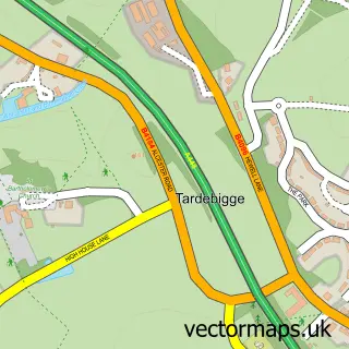
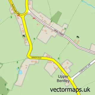
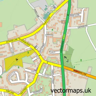
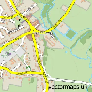
This Redditch street map is a detailed vector street map covering a 750m x 750m area. Select a larger area to create and download your own vector street map of Redditch.
The 750-metre map sample for Redditch covers 241 mapped buildings and approximately 49.3 km of road detail, of which 63 named roads are named. The immediate area includes 1 school, 1 railway station, 3 GP surgeries, with 7 within 2 miles and 12 pubs among other local services. The wider area around Redditch features 5 tourism points of interest, 36 food and drink venues and 2 hotels. To create a larger or custom map of Redditch, the map builder lets you define your own coverage area and download editable SVG, PDF and PNG files.
Create a larger editable map of Redditch
Choose any area you need and generate a high-quality vector map instantly. Perfect for print, planning, design, business and personal use.

This Redditch street map in Worcestershire is available as downloadable SVG, PDF and PNG map files, or as a printed map for planning, business, display, education, local information and design work. You can also create a larger custom map area using the map selector.
What this Redditch map sample shows
Redditch lies within Worcestershire County parish, part of Abbey ward in the Redditch District (B) local authority area. The postcode geography for this area includes the B postcode area, the B98 postcode district and the B98 8 postcode sector. Residents fall under the Nhs Herefordshire And Worcestershire Integrated Care Board for NHS services.
Local features near Redditch
Within 2 milesAmenities and services in and around Redditch.
Administrative and postcode information for Redditch
The local authority covering Redditch is Redditch District (B), within the county of Worcestershire. The settlement lies within Abbey ward and Worcestershire County civil parish. The B98 postcode district and B98 8 postcode sector serve the immediate area. NHS provision in the area is delivered through Worcestershire Acute Hospitals Nhs Trust.
Nearby street map samples around Redditch

More street maps in Worcestershire
750 metre map area coverage
Boundary, postcode and point of interest information for the 750m x 750m rectangle centred on this sample map.
Boundaries containing map centre
Constituency: Redditch Co Const
County: Worcestershire County
District: Redditch District (B)
Icb: NHS Herefordshire and Worcestershire ICB
Police Force: west mercia
Postcode District: B97
Postcode Sector: B97 4
Ward: Central Ward
Nearby boundaries intersecting sample
Postcode District: B98
Postcode Sector: B97 6, B98 7, B98 8
Ward: Batchley & Brockhill Ward
Postcode coverage
POI category counts
Beauty Salon: 18
Clothing Store: 17
Employment Agencies: 17
Professional Services: 16
Real Estate Agent: 13
Hair Salon: 12
Pub: 12
Beauty And Spa: 11
Bank Credit Union: 10
Gym: 10
Sample points of interest
- Charles Lovell & Co
- Derek Young & Co
- Hayward Wright
- Acumend Acupuncture
- Acupuncture
- North Worcestershire Community Drug Team
- Connexions
- Business Leads UK
- Diesel Head
- Digital Online Marketing
- RST Herbal Centre
- Shipley Amusements
Create a larger editable map of Redditch
This sample shows only a 750 metre area. To create a larger map of Redditch, use our map builder to choose your own coverage area, add titles and download editable SVG, PDF and PNG files.
Create a custom map of Redditch