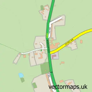
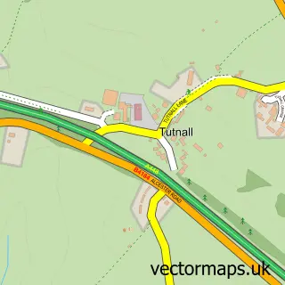
This Alvechurch street map is a detailed vector street map covering a 750m x 750m area. Select a larger area to create and download your own vector street map of Alvechurch.
The 750-metre map sample for Alvechurch covers 191 mapped buildings and approximately 20.9 km of road detail, of which 18 named roads are named. The immediate area includes 1 GP surgery within 2 miles, 3 pubs and 2 MOT stations within 2 miles. The wider area around Alvechurch features 11 food and drink venues. To create a larger or custom map of Alvechurch, the map builder lets you define your own coverage area and download editable SVG, PDF and PNG files.
Create a larger editable map of Alvechurch
Choose any area you need and generate a high-quality vector map instantly. Perfect for print, planning, design, business and personal use.

This Alvechurch street map in Worcestershire is available as downloadable SVG, PDF and PNG map files, or as a printed map for planning, business, display, education, local information and design work. You can also create a larger custom map area using the map selector.
What this Alvechurch map sample shows
Alvechurch lies within Alvechurch Cp parish, part of Alvechurch South ward in the Bromsgrove District local authority area. The postcode geography for this area includes the B postcode area, the B48 postcode district and the B48 7 postcode sector. Residents fall under the Nhs Herefordshire And Worcestershire Integrated Care Board for NHS services.
Local features near Alvechurch
Within 2 milesAmenities and services in and around Alvechurch.
Administrative and postcode information for Alvechurch
Alvechurch lies within Alvechurch Cp parish, part of Alvechurch South ward in the Bromsgrove District local authority area. The postcode geography for this area includes the B postcode area, the B48 postcode district and the B48 7 postcode sector. Residents fall under the Nhs Herefordshire And Worcestershire Integrated Care Board for NHS services.
Nearby street map samples around Alvechurch

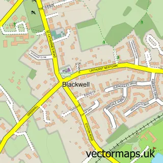
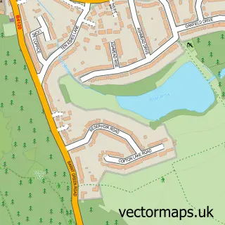
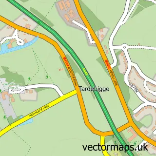
More street maps in Worcestershire
750 metre map area coverage
Boundary, postcode and point of interest information for the 750m x 750m rectangle centred on this sample map.
Boundaries containing map centre
Constituency: Bromsgrove Co Const
County: Worcestershire County
District: Bromsgrove District
Icb: NHS Herefordshire and Worcestershire ICB
Parish: Alvechurch CP
Police Force: west mercia
Postcode District: B48
Postcode Sector: B48 7
Ward: Alvechurch South Ward
Nearby boundaries intersecting sample
Ward: Alvechurch Village Ward
Postcode coverage
POI category counts
Beauty Salon: 4
Cafe: 3
Pub: 3
Restaurant: 3
Automotive Repair: 2
Barber: 2
Building Supply Store: 2
Coffee Shop: 2
Convenience Store: 2
Financial Service: 2
Sample points of interest
- Engage Accountancy
- St Laurence Alvechurch
- PJSJ Design Architectural Agents - Architectural Services Bi
- The Seasons Art Class: Bromsgrove & Redditch
- The Midland Sinfonia
- The Cooperative Food (BF) Alvechurch (ERF), Alvechurch
- Access Mortgages
- Alvechurch Garage Services
- Red Lion Garage
- Alvechurch Baptist Church
- Mitchells & Butlers Retail
- Barber Daves
Create a larger editable map of Alvechurch
This sample shows only a 750 metre area. To create a larger map of Alvechurch, use our map builder to choose your own coverage area, add titles and download editable SVG, PDF and PNG files.
Create a custom map of Alvechurch