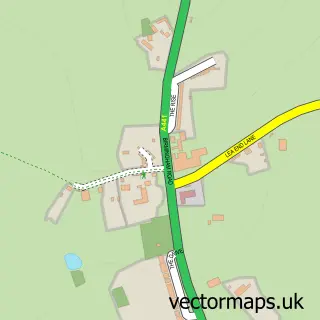
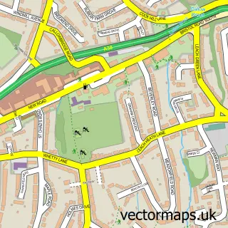
This Barnt Green street map is a detailed vector street map covering a 750m x 750m area. Select a larger area to create and download your own vector street map of Barnt Green.
The 750-metre map sample for Barnt Green covers 298 mapped buildings and approximately 25.9 km of road detail, of which 20 named roads are named. The immediate area includes 1 school, 1 railway station, 1 GP surgery and 3 pubs among other local services. The wider area around Barnt Green features 8 food and drink venues. To create a larger or custom map of Barnt Green, the map builder lets you define your own coverage area and download editable SVG, PDF and PNG files.
Create a larger editable map of Barnt Green
Choose any area you need and generate a high-quality vector map instantly. Perfect for print, planning, design, business and personal use.

This Barnt Green street map in Worcestershire is available as downloadable SVG, PDF and PNG map files, or as a printed map for planning, business, display, education, local information and design work. You can also create a larger custom map area using the map selector.
What this Barnt Green map sample shows
Barnt Green lies within Barnt Green Cp parish, part of Barnt Green & Hopwood ward in the Bromsgrove District local authority area. The postcode geography for this area includes the B postcode area, the B45 postcode district and the B45 8 postcode sector. Residents fall under the Nhs Herefordshire And Worcestershire Integrated Care Board for NHS services.
Local features near Barnt Green
Within 2 milesAmenities and services in and around Barnt Green.
Administrative and postcode information for Barnt Green
The local authority covering Barnt Green is Bromsgrove District, within the county of Worcestershire. The settlement lies within Barnt Green & Hopwood ward and Barnt Green Cp civil parish. The B45 postcode district and B45 8 postcode sector serve the immediate area. NHS provision in the area is delivered through University Hospitals Birmingham Nhs Foundation Trust.
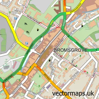
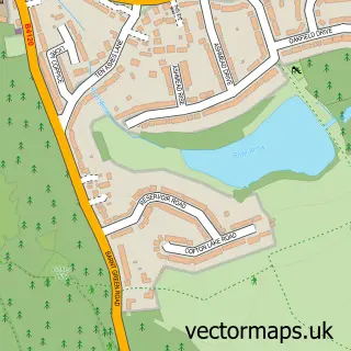
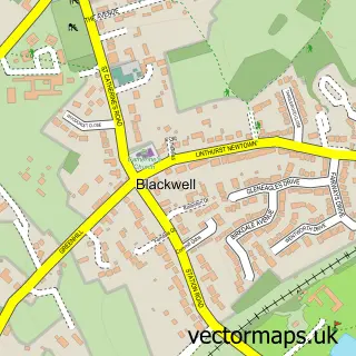
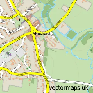
Nearby street map samples around Barnt Green

More street maps in Worcestershire
750 metre map area coverage
Boundary, postcode and point of interest information for the 750m x 750m rectangle centred on this sample map.
Boundaries containing map centre
Constituency: Bromsgrove Co Const
County: Worcestershire County
District: Bromsgrove District
Icb: NHS Herefordshire and Worcestershire ICB
Parish: Barnt Green CP
Police Force: west mercia
Postcode District: B45
Postcode Sector: B45 8
Ward: Barnt Green & Hopwood Ward
Nearby boundaries intersecting sample
Parish: Cofton Hackett CP, Lickey and Blackwell CP
Postcode District: B48
Postcode Sector: B48 7
Ward: Cofton Ward, Lickey Hills Ward
Postcode coverage
POI category counts
Real Estate Agent: 5
Building Supply Store: 4
Womens Clothing Store: 4
Beauty Salon: 3
Dance School: 3
Hair Salon: 3
Liquor Store: 3
Pub: 3
Retail: 3
Train Station: 3
Sample points of interest
- Barnt Green Acupuncture Clinic
- Mercia Outdoor Advertising
- Dynamic Regenerative Medicine
- St Andrew's Barnt Green
- Barnt Green Antiques
- Mews Antiques
- C B Design Services Ltd.
- Pat the Clown & His Magic Circus
- Edwards Car Repairs
- Lloyds Bank
- Barnt Green Baptist Church
- Cofton on The Green
Create a larger editable map of Barnt Green
This sample shows only a 750 metre area. To create a larger map of Barnt Green, use our map builder to choose your own coverage area, add titles and download editable SVG, PDF and PNG files.
Create a custom map of Barnt Green