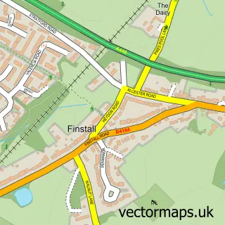
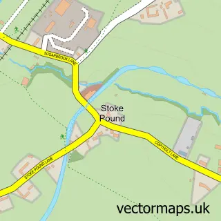
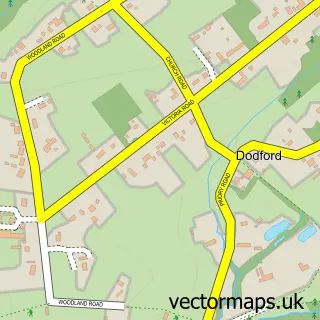
This Bromsgrove street map is a detailed vector street map covering a 750m x 750m area. Select a larger area to create and download your own vector street map of Bromsgrove.
The 750-metre map sample for Bromsgrove covers 301 mapped buildings and approximately 57.4 km of road detail, of which 42 named roads are named. The immediate area includes 2 GP surgeries, with 4 within 2 miles, 12 pubs and 2 MOT stations, with 12 within 2 miles. The wider area around Bromsgrove features 6 tourism points of interest, 32 food and drink venues and 1 hotel. To create a larger or custom map of Bromsgrove, the map builder lets you define your own coverage area and download editable SVG, PDF and PNG files.
Create a larger editable map of Bromsgrove
Choose any area you need and generate a high-quality vector map instantly. Perfect for print, planning, design, business and personal use.

This Bromsgrove street map in Worcestershire is available as downloadable SVG, PDF and PNG map files, or as a printed map for planning, business, display, education, local information and design work. You can also create a larger custom map area using the map selector.
What this Bromsgrove map sample shows
Bromsgrove lies within Worcestershire County parish, part of Sanders Park ward in the Bromsgrove District local authority area. The postcode geography for this area includes the B postcode area, the B61 postcode district and the B61 8 postcode sector. Residents fall under the Nhs Herefordshire And Worcestershire Integrated Care Board for NHS services.
Local features near Bromsgrove
Within 2 milesAmenities and services in and around Bromsgrove.
Administrative and postcode information for Bromsgrove
The local authority covering Bromsgrove is Bromsgrove District, within the county of Worcestershire. The settlement lies within Sanders Park ward and Worcestershire County civil parish. The B61 postcode district and B61 8 postcode sector serve the immediate area. NHS provision in the area is delivered through Worcestershire Acute Hospitals Nhs Trust.
Nearby street map samples around Bromsgrove

More street maps in Worcestershire
750 metre map area coverage
Boundary, postcode and point of interest information for the 750m x 750m rectangle centred on this sample map.
Boundaries containing map centre
Constituency: Bromsgrove Co Const
County: Worcestershire County
District: Bromsgrove District
Icb: NHS Herefordshire and Worcestershire ICB
Police Force: west mercia
Postcode District: B61
Postcode Sector: B61 8
Ward: Sanders Park Ward
Nearby boundaries intersecting sample
Postcode District: B60
Postcode Sector: B60 1, B60 2, B61 0, B61 7
Ward: Bromsgrove Central Ward, Lowes Hill Ward, Sidemoor Ward
Postcode coverage
POI category counts
Beauty Salon: 21
Hair Salon: 19
Barber: 13
Professional Services: 13
Pub: 12
Clothing Store: 11
Bank Credit Union: 9
Beauty And Spa: 9
Charity Organization: 9
Dentist: 9
Sample points of interest
- Bromsgrove Bookkeeping
- G R Brickstock & Associates
- Kenneth Morris Ltd.
- Pinfields Limited
- Stress Free Bookkeeping
- TaxAssist Accountants
- Daniel Ricciardo Series UK
- Social Sticks
- Gough Bailey Wright
- Gough Marketing
- Bromsgrove Hypnotherapy Practice
- Diana Pardoe
Create a larger editable map of Bromsgrove
This sample shows only a 750 metre area. To create a larger map of Bromsgrove, use our map builder to choose your own coverage area, add titles and download editable SVG, PDF and PNG files.
Create a custom map of Bromsgrove