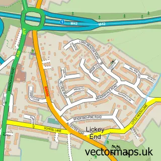
This Dodford street map is a detailed vector street map covering a 750m x 750m area. Select a larger area to create and download your own vector street map of Dodford.
The 750-metre map sample for Dodford covers 137 mapped buildings and approximately 23.1 km of road detail, of which 5 named roads are named. The immediate area includes 1 MOT station within 2 miles. The wider area around Dodford features 2 tourism points of interest. To create a larger or custom map of Dodford, the map builder lets you define your own coverage area and download editable SVG, PDF and PNG files.
Create a larger editable map of Dodford
Choose any area you need and generate a high-quality vector map instantly. Perfect for print, planning, design, business and personal use.

This Dodford street map in Worcestershire is available as downloadable SVG, PDF and PNG map files, or as a printed map for planning, business, display, education, local information and design work. You can also create a larger custom map area using the map selector.
What this Dodford map sample shows
Dodford lies within Dodford With Grafton Cp parish, part of Perryfields ward in the Bromsgrove District local authority area. The postcode geography for this area includes the B postcode area, the B61 postcode district and the B61 9 postcode sector. Residents fall under the Nhs Herefordshire And Worcestershire Integrated Care Board for NHS services.
Local features near Dodford
Within 2 milesAmenities and services in and around Dodford.
Administrative and postcode information for Dodford
The local authority covering Dodford is Bromsgrove District, within the county of Worcestershire. The settlement lies within Perryfields ward and Dodford With Grafton Cp civil parish. The B61 postcode district and B61 9 postcode sector serve the immediate area. NHS provision in the area is delivered through Worcestershire Acute Hospitals Nhs Trust.
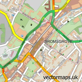
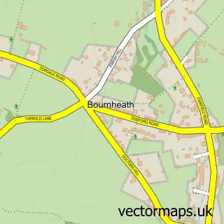
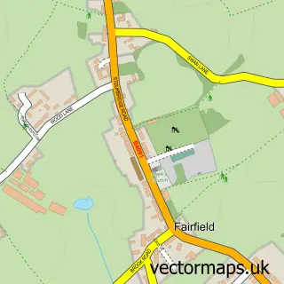
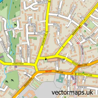
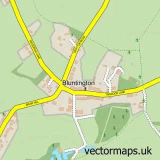
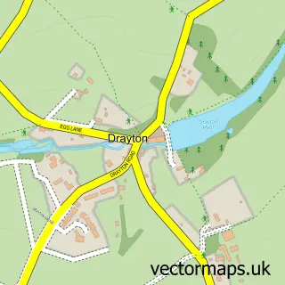
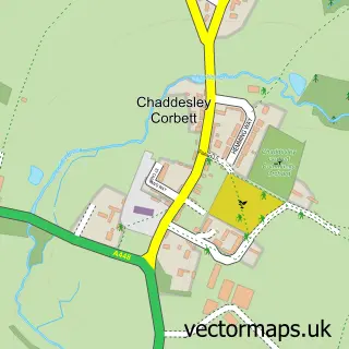
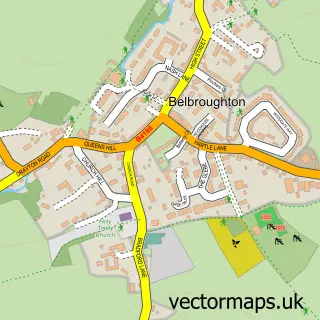
Nearby street map samples around Dodford

More street maps in Worcestershire
750 metre map area coverage
Boundary, postcode and point of interest information for the 750m x 750m rectangle centred on this sample map.
Boundaries containing map centre
Constituency: Bromsgrove Co Const
County: Worcestershire County
District: Bromsgrove District
Icb: NHS Herefordshire and Worcestershire ICB
Parish: Dodford with Grafton CP
Police Force: west mercia
Postcode District: B61
Postcode Sector: B61 9
Ward: Perryfields Ward
Nearby boundaries intersecting sample
Parish: Belbroughton CP
Postcode District: DY9
Postcode Sector: DY9 0
Ward: Belbroughton & Romsley Ward
Postcode coverage
POI category counts
Sports And Recreation Venue: 2
Assisted Living Facility: 1
Attractions And Activities: 1
Brewery: 1
Building Supply Store: 1
Business Management Services: 1
Community Center: 1
Convents And Monasteries: 1
Gym: 1
Landmark And Historical Building: 1
Sample points of interest
- Wishmoor
- Rosedene
- Woodcote Brewing Co
- SH Building Services
- Farm 2000
- Dodford Village Hall
- Dodford Priory
- Pole Finesse
- Rosedene
- K&M
- Meadow Studios Ltd
- Bespoke Bandages
Create a larger editable map of Dodford
This sample shows only a 750 metre area. To create a larger map of Dodford, use our map builder to choose your own coverage area, add titles and download editable SVG, PDF and PNG files.
Create a custom map of Dodford