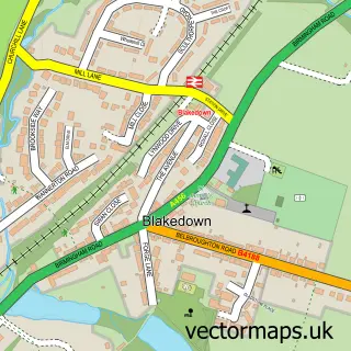
This Belbroughton street map is a detailed vector street map covering a 750m x 750m area. Select a larger area to create and download your own vector street map of Belbroughton.
The 750-metre map sample for Belbroughton covers 253 mapped buildings and approximately 25.6 km of road detail, of which 16 named roads are named. The immediate area includes 1 school, 1 GP surgery and 3 pubs. The wider area around Belbroughton features 1 tourism point of interest and 3 food and drink venues. To create a larger or custom map of Belbroughton, the map builder lets you define your own coverage area and download editable SVG, PDF and PNG files.
Create a larger editable map of Belbroughton
Choose any area you need and generate a high-quality vector map instantly. Perfect for print, planning, design, business and personal use.

This Belbroughton street map in Worcestershire is available as downloadable SVG, PDF and PNG map files, or as a printed map for planning, business, display, education, local information and design work. You can also create a larger custom map area using the map selector.
What this Belbroughton map sample shows
Belbroughton lies within Belbroughton Cp parish, part of Belbroughton & Romsley ward in the Bromsgrove District local authority area. The postcode geography for this area includes the DY postcode area, the DY9 postcode district and the DY9 9 postcode sector. Residents fall under the Nhs Herefordshire And Worcestershire Integrated Care Board for NHS services.
Local features near Belbroughton
Within 2 milesAmenities and services in and around Belbroughton.
Administrative and postcode information for Belbroughton
The local authority covering Belbroughton is Bromsgrove District, within the county of Worcestershire. The settlement lies within Belbroughton & Romsley ward and Belbroughton Cp civil parish. The DY9 postcode district and DY9 9 postcode sector serve the immediate area. NHS provision in the area is delivered through Worcestershire Acute Hospitals Nhs Trust.
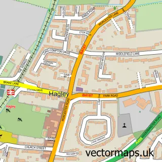
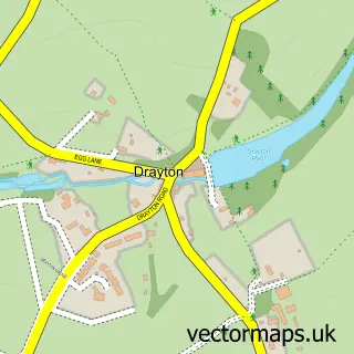
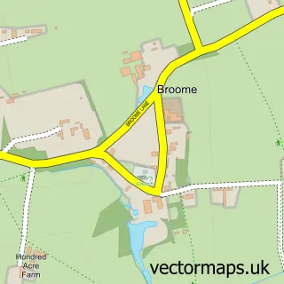
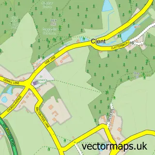
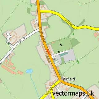
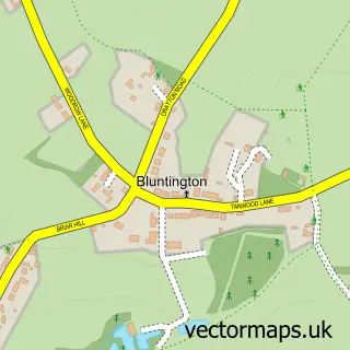
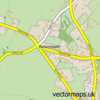
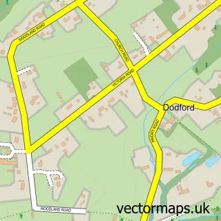
Nearby street map samples around Belbroughton

More street maps in Worcestershire
750 metre map area coverage
Boundary, postcode and point of interest information for the 750m x 750m rectangle centred on this sample map.
Boundaries containing map centre
Constituency: Bromsgrove Co Const
County: Worcestershire County
District: Bromsgrove District
Icb: NHS Herefordshire and Worcestershire ICB
Parish: Belbroughton CP
Police Force: west mercia
Postcode District: DY9
Postcode Sector: DY9 9
Ward: Belbroughton & Romsley Ward
Nearby boundaries intersecting sample
Postcode Sector: DY9 0
Postcode coverage
POI category counts
Education: 3
Employment Agencies: 3
Event Planning: 3
It Service And Computer Repair: 3
Pub: 3
Advertising Agency: 2
Books Mags Music And Video: 2
Building Supply Store: 2
Church Cathedral: 2
Preschool: 2
Sample points of interest
- Belbroughton Village
- Gambit Graphics
- Gambit Nash
- Holy Trinity, Belbroughton
- Midlandaudiox-change
- Midland Audio X-Change
- Clarkson Controls
- Beautoxology
- Belbroughton Post Office
- Post Office-Belbroughton
- The Horseshoes, Belbroughton
- Horizons Kitchens & Bathrooms Ltd
Create a larger editable map of Belbroughton
This sample shows only a 750 metre area. To create a larger map of Belbroughton, use our map builder to choose your own coverage area, add titles and download editable SVG, PDF and PNG files.
Create a custom map of Belbroughton