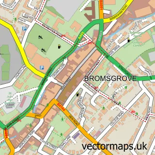
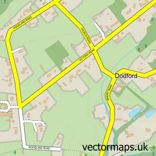
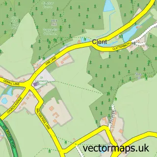
This Fairfield street map is a detailed vector street map covering a 750m x 750m area. Select a larger area to create and download your own vector street map of Fairfield.
The 750-metre map sample for Fairfield covers 114 mapped buildings and approximately 23.2 km of road detail, of which 8 named roads are named. The immediate area includes 1 school, 2 GP surgeries within 2 miles, 2 pubs and 4 MOT stations within 2 miles. The wider area around Fairfield features 1 tourism point of interest and 2 food and drink venues. To create a larger or custom map of Fairfield, the map builder lets you define your own coverage area and download editable SVG, PDF and PNG files.
Create a larger editable map of Fairfield
Choose any area you need and generate a high-quality vector map instantly. Perfect for print, planning, design, business and personal use.

This Fairfield street map in Worcestershire is available as downloadable SVG, PDF and PNG map files, or as a printed map for planning, business, display, education, local information and design work. You can also create a larger custom map area using the map selector.
What this Fairfield map sample shows
Fairfield lies within Belbroughton Cp parish, part of Belbroughton & Romsley ward in the Bromsgrove District local authority area. The postcode geography for this area includes the B postcode area, the B61 postcode district and the B61 9 postcode sector. Residents fall under the Nhs Herefordshire And Worcestershire Integrated Care Board for NHS services.
Local features near Fairfield
Within 2 milesAmenities and services in and around Fairfield.
Administrative and postcode information for Fairfield
The local authority covering Fairfield is Bromsgrove District, within the county of Worcestershire. The settlement lies within Belbroughton & Romsley ward and Belbroughton Cp civil parish. The B61 postcode district and B61 9 postcode sector serve the immediate area. NHS provision in the area is delivered through Worcestershire Acute Hospitals Nhs Trust.
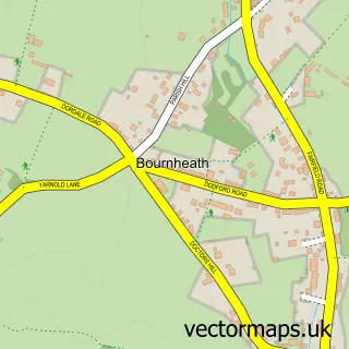
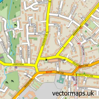
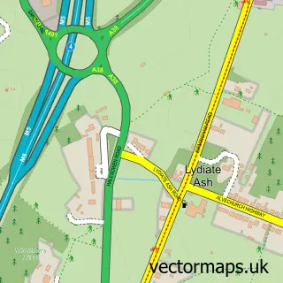
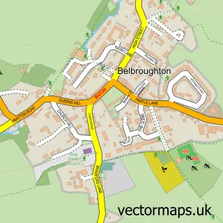
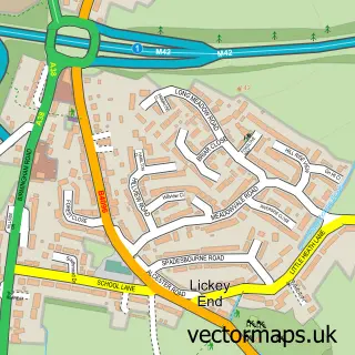
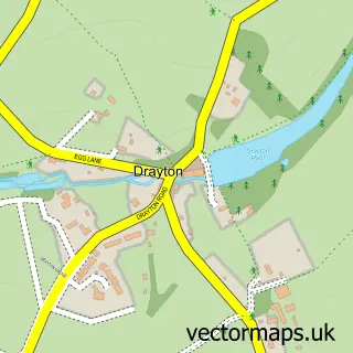
Nearby street map samples around Fairfield

More street maps in Worcestershire
750 metre map area coverage
Boundary, postcode and point of interest information for the 750m x 750m rectangle centred on this sample map.
Boundaries containing map centre
Constituency: Bromsgrove Co Const
County: Worcestershire County
District: Bromsgrove District
Icb: NHS Herefordshire and Worcestershire ICB
Parish: Belbroughton CP
Police Force: west mercia
Postcode District: B61
Postcode Sector: B61 9
Ward: Belbroughton & Romsley Ward
Nearby boundaries intersecting sample
Postcode Sector: B61 0
Postcode coverage
POI category counts
Bicycle Shop: 2
Elementary School: 2
Korean Grocery Store: 2
Pub: 2
Anglican Church: 1
Antique Store: 1
Beauty Salon: 1
Church Cathedral: 1
Cinema: 1
Community Center: 1
Sample points of interest
- St Mark's, Fairfield
- Steptoes of Fairfield
- SK Hair & Beauty
- Kidsnet
- Kidsnet Ltd
- Fairfield St. Mark Churchyard
- Bromsgrove Arts - The home of Fairfield Flicks & Fairfield Music
- fairfield village hall
- LullaBaby
- Belbroughton Primary School
- Fairfield First School
- Osprey Charging Station
Create a larger editable map of Fairfield
This sample shows only a 750 metre area. To create a larger map of Fairfield, use our map builder to choose your own coverage area, add titles and download editable SVG, PDF and PNG files.
Create a custom map of Fairfield