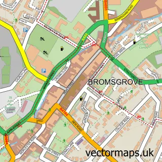
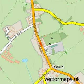
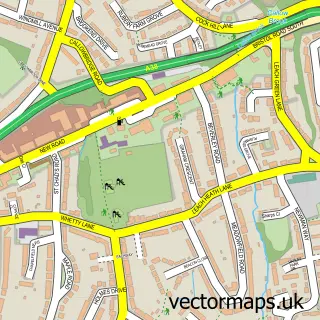
This Catshill street map is a detailed vector street map covering a 750m x 750m area. Select a larger area to create and download your own vector street map of Catshill.
The 750-metre map sample for Catshill covers 505 mapped buildings and approximately 49.8 km of road detail, of which 38 named roads are named. The immediate area includes 1 school, 1 GP surgery, with 4 within 2 miles and 5 MOT stations within 2 miles. The wider area around Catshill features 1 tourism point of interest and 2 food and drink venues. To create a larger or custom map of Catshill, the map builder lets you define your own coverage area and download editable SVG, PDF and PNG files.
Create a larger editable map of Catshill
Choose any area you need and generate a high-quality vector map instantly. Perfect for print, planning, design, business and personal use.

This Catshill street map in Worcestershire is available as downloadable SVG, PDF and PNG map files, or as a printed map for planning, business, display, education, local information and design work. You can also create a larger custom map area using the map selector.
What this Catshill map sample shows
Catshill lies within Catshill And North Marlbrook Cp parish, part of Catshill North ward in the Bromsgrove District local authority area. The postcode geography for this area includes the B postcode area, the B61 postcode district and the B61 0 postcode sector. Residents fall under the Nhs Herefordshire And Worcestershire Integrated Care Board for NHS services.
Local features near Catshill
Within 2 milesAmenities and services in and around Catshill.
Administrative and postcode information for Catshill
The local authority covering Catshill is Bromsgrove District, within the county of Worcestershire. The settlement lies within Catshill North ward and Catshill And North Marlbrook Cp civil parish. The B61 postcode district and B61 0 postcode sector serve the immediate area. NHS provision in the area is delivered through Worcestershire Acute Hospitals Nhs Trust.
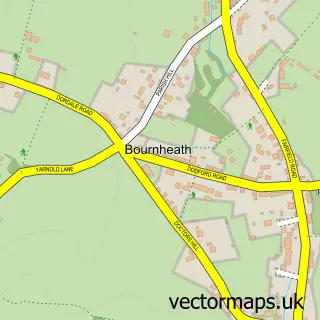
Nearby street map samples around Catshill

More street maps in Worcestershire
750 metre map area coverage
Boundary, postcode and point of interest information for the 750m x 750m rectangle centred on this sample map.
Boundaries containing map centre
Constituency: Bromsgrove Co Const
County: Worcestershire County
District: Bromsgrove District
Icb: NHS Herefordshire and Worcestershire ICB
Parish: Catshill and North Marlbrook CP
Police Force: west mercia
Postcode District: B61
Postcode Sector: B61 0
Ward: Catshill North Ward
Nearby boundaries intersecting sample
Parish: Bournheath CP
Postcode Sector: B61 9
Ward: Belbroughton & Romsley Ward, Catshill South Ward
Postcode coverage
POI category counts
Building Supply Store: 4
Convenience Store: 4
Charity Organization: 3
Chinese Restaurant: 3
Indian Restaurant: 3
Advertising Agency: 2
Beauty Salon: 2
Business Management Services: 2
Church Cathedral: 2
Doctor: 2
Sample points of interest
- B N I
- Design B P
- Cross Stitch Direct
- The Cooperative Food Catshill - Gibbs Lane, Catshill
- Autospa Express Birmingham
- Riders Motorcycle Training
- Sugar & Crumbs Bakehouse Catshill
- Catshill Baptist Church
- HB Boutique Hair & Beauty
- Hair By Mia
- DJS Window Cleaning
- Ground Control Specialists
Create a larger editable map of Catshill
This sample shows only a 750 metre area. To create a larger map of Catshill, use our map builder to choose your own coverage area, add titles and download editable SVG, PDF and PNG files.
Create a custom map of Catshill