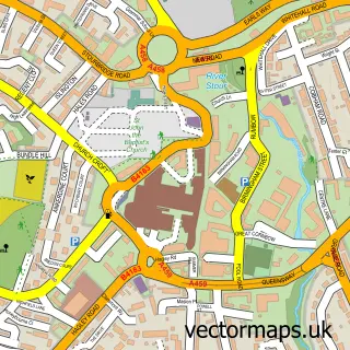
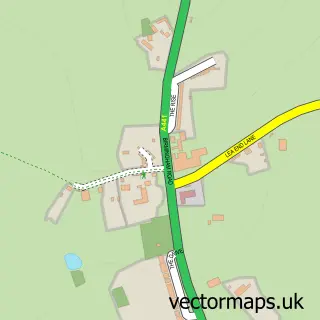
This Rubery street map is a detailed vector street map covering a 750m x 750m area. Select a larger area to create and download your own vector street map of Rubery.
The 750-metre map sample for Rubery covers 414 mapped buildings and approximately 64.7 km of road detail, of which 41 named roads are named. The immediate area includes 1 school, 2 GP surgeries, with 4 within 2 miles, 2 pubs and 7 MOT stations within 2 miles. The wider area around Rubery features 1 tourism point of interest and 6 food and drink venues. To create a larger or custom map of Rubery, the map builder lets you define your own coverage area and download editable SVG, PDF and PNG files.
Create a larger editable map of Rubery
Choose any area you need and generate a high-quality vector map instantly. Perfect for print, planning, design, business and personal use.

This Rubery street map in Worcestershire is available as downloadable SVG, PDF and PNG map files, or as a printed map for planning, business, display, education, local information and design work. You can also create a larger custom map area using the map selector.
What this Rubery map sample shows
Rubery lies within Worcestershire County parish, part of Rubery South ward in the Bromsgrove District local authority area. The postcode geography for this area includes the B postcode area, the B45 postcode district and the B45 9 postcode sector. Residents fall under the Nhs Herefordshire And Worcestershire Integrated Care Board for NHS services.
Local features near Rubery
Within 2 milesAmenities and services in and around Rubery.
Administrative and postcode information for Rubery
Rubery lies within Worcestershire County parish, part of Rubery South ward in the Bromsgrove District local authority area. The postcode geography for this area includes the B postcode area, the B45 postcode district and the B45 9 postcode sector. Residents fall under the Nhs Herefordshire And Worcestershire Integrated Care Board for NHS services.
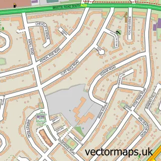
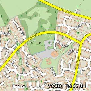
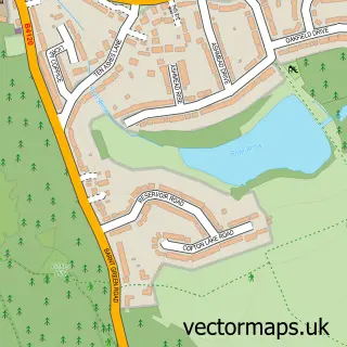
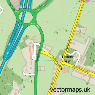
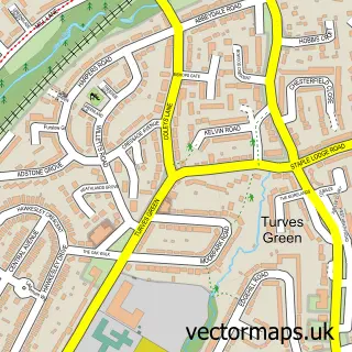
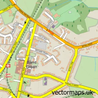
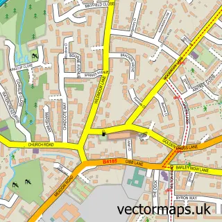
Nearby street map samples around Rubery

More street maps in Worcestershire
750 metre map area coverage
Boundary, postcode and point of interest information for the 750m x 750m rectangle centred on this sample map.
Boundaries containing map centre
Constituency: Bromsgrove Co Const
County: Worcestershire County
District: Bromsgrove District
Icb: NHS Herefordshire and Worcestershire ICB
Police Force: west mercia
Postcode District: B45
Postcode Sector: B45 9
Ward: Rubery South Ward
Nearby boundaries intersecting sample
Constituency: Birmingham Northfield Boro Const
District: Birmingham District (B)
Icb: NHS Birmingham and Solihull ICB
Police Force: west midlands
Ward: Rubery & Rednal Ward, Rubery North Ward
Postcode coverage
POI category counts
Indian Restaurant: 8
Pizza Restaurant: 7
Barber: 6
Beauty Salon: 6
Real Estate Agent: 6
Retail: 6
Beauty And Spa: 5
Convenience Store: 5
Fast Food Restaurant: 5
Gas Station: 4
Sample points of interest
- Michael Beech Accountancy
- St Chad
- Acorns
- Jamie Leigh Fine Art
- Scissor Stitch
- The Cooperative Food (BF) Rubery (ERF), Rubery
- Hear in Rubery
- Aurora mobile mechanics
- Mech a Nick
- Rubery service centre
- Greggs
- Kake and Cupkakery
Create a larger editable map of Rubery
This sample shows only a 750 metre area. To create a larger map of Rubery, use our map builder to choose your own coverage area, add titles and download editable SVG, PDF and PNG files.
Create a custom map of Rubery