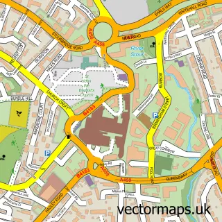
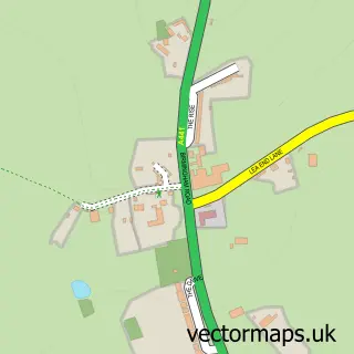
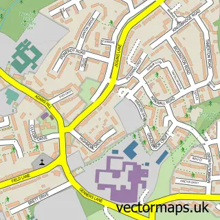
This Turves Green street map is a detailed vector street map covering a 750m x 750m area. Select a larger area to create and download your own vector street map of Turves Green.
The 750-metre map sample for Turves Green covers 489 mapped buildings and approximately 36.6 km of road detail, of which 36 named roads are named. The immediate area includes 2 schools, 1 GP surgery, with 12 within 2 miles, 2 pubs and 1 MOT station, with 22 within 2 miles. The wider area around Turves Green features 3 food and drink venues. To create a larger or custom map of Turves Green, the map builder lets you define your own coverage area and download editable SVG, PDF and PNG files.
Create a larger editable map of Turves Green
Choose any area you need and generate a high-quality vector map instantly. Perfect for print, planning, design, business and personal use.

This Turves Green street map in West Midlands is available as downloadable SVG, PDF and PNG map files, or as a printed map for planning, business, display, education, local information and design work. You can also create a larger custom map area using the map selector.
What this Turves Green map sample shows
Turves Green lies within Birmingham District (B) parish, part of Northfield ward in the Birmingham District (B) local authority area. The postcode geography for this area includes the B postcode area, the B31 postcode district and the B31 2 postcode sector. Residents fall under the Nhs Birmingham And Solihull Integrated Care Board for NHS services.
Local features near Turves Green
Within 2 milesAmenities and services in and around Turves Green.
Administrative and postcode information for Turves Green
The local authority covering Turves Green is Birmingham District (B), within the county of West Midlands. The settlement lies within Northfield ward and Birmingham District (B) civil parish. The B31 postcode district and B31 2 postcode sector serve the immediate area. NHS provision in the area is delivered through University Hospitals Birmingham Nhs Foundation Trust.
Nearby street map samples around Turves Green

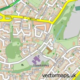
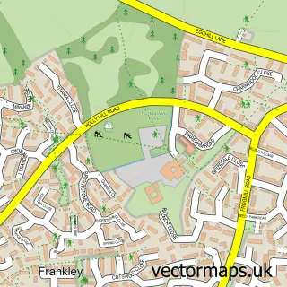
More street maps in West Midlands
750 metre map area coverage
Boundary, postcode and point of interest information for the 750m x 750m rectangle centred on this sample map.
Boundaries containing map centre
Constituency: Birmingham Northfield Boro Const
District: Birmingham District (B)
Icb: NHS Birmingham and Solihull ICB
Police Force: west midlands
Postcode District: B31
Postcode Sector: B31 4
Ward: Longbridge & West Heath Ward
Nearby boundaries intersecting sample
Postcode Sector: B31 2, B31 3
Ward: Northfield Ward
Postcode coverage
POI category counts
Convenience Store: 3
General Dentistry: 3
Automotive Repair: 2
Chinese Restaurant: 2
Dentist: 2
Doctor: 2
Hair Salon: 2
High School: 2
Pub: 2
Accountant: 1
Sample points of interest
- Select Accounting
- Dressed Chairs
- The Woodpecker
- PayPoint
- Turves Green Service Station
- Vagmen hq
- Benny's Barbers
- Sky Nails
- The Cutting Edge Gardener
- Rising Star Caribbean Cuisine
- Canton Kitchen
- Minhs Caterers
Create a larger editable map of Turves Green
This sample shows only a 750 metre area. To create a larger map of Turves Green, use our map builder to choose your own coverage area, add titles and download editable SVG, PDF and PNG files.
Create a custom map of Turves Green