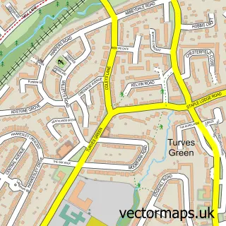
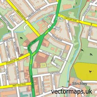
This Hawkesley street map is a detailed vector street map covering a 750m x 750m area. Select a larger area to create and download your own vector street map of Hawkesley.
The 750-metre map sample for Hawkesley covers 296 mapped buildings and approximately 39.0 km of road detail, of which 41 named roads are named. The immediate area includes 1 school, 1 GP surgery, with 8 within 2 miles, 1 pub and 1 MOT station, with 24 within 2 miles. The wider area around Hawkesley features 1 food and drink venue. To create a larger or custom map of Hawkesley, the map builder lets you define your own coverage area and download editable SVG, PDF and PNG files.
Create a larger editable map of Hawkesley
Choose any area you need and generate a high-quality vector map instantly. Perfect for print, planning, design, business and personal use.

This Hawkesley street map in West Midlands is available as downloadable SVG, PDF and PNG map files, or as a printed map for planning, business, display, education, local information and design work. You can also create a larger custom map area using the map selector.
What this Hawkesley map sample shows
Hawkesley lies within Birmingham District (B) parish, part of King's Norton South ward in the Birmingham District (B) local authority area. The postcode geography for this area includes the B postcode area, the B30 postcode district and the B30 3 postcode sector. Residents fall under the Nhs Birmingham And Solihull Integrated Care Board for NHS services.
Local features near Hawkesley
Within 2 milesAmenities and services in and around Hawkesley.
Administrative and postcode information for Hawkesley
Hawkesley lies within Birmingham District (B) parish, part of King's Norton South ward in the Birmingham District (B) local authority area. The postcode geography for this area includes the B postcode area, the B30 postcode district and the B30 3 postcode sector. Residents fall under the Nhs Birmingham And Solihull Integrated Care Board for NHS services.
Nearby street map samples around Hawkesley


More street maps in West Midlands
750 metre map area coverage
Boundary, postcode and point of interest information for the 750m x 750m rectangle centred on this sample map.
Boundaries containing map centre
Constituency: Birmingham Northfield Boro Const
District: Birmingham District (B)
Icb: NHS Birmingham and Solihull ICB
Police Force: west midlands
Postcode District: B38
Postcode Sector: B38 9
Ward: King's Norton South Ward
Nearby boundaries intersecting sample
Postcode Sector: B38 8
Ward: King's Norton North Ward
Postcode coverage
POI category counts
Automotive Repair: 2
Community Center: 2
Health And Medical: 2
Windows Installation: 2
Anglican Church: 1
Barber: 1
Beauty Salon: 1
Books Mags Music And Video: 1
Business Management Services: 1
Community Services Non Profits: 1
Sample points of interest
- Hawkesley Academy
- Kings Norton Body Repairs Ltd
- Monument Motor Services
- Fadeology Barber Society
- Microblading Birmingham PMU by Tami
- Post Office-Hawkesley
- HNS Signs Ltd.
- Hawkesley Community Centre & Cafe
- Hawksley Community Centre
- Edgewood Road Childrens Home
- Dr P a Shipman
- Hawkesley Church Primary Academy
Create a larger editable map of Hawkesley
This sample shows only a 750 metre area. To create a larger map of Hawkesley, use our map builder to choose your own coverage area, add titles and download editable SVG, PDF and PNG files.
Create a custom map of Hawkesley