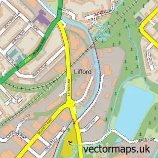
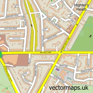
This Stirchley street map is a detailed vector street map covering a 750m x 750m area. Select a larger area to create and download your own vector street map of Stirchley.
The 750-metre map sample for Stirchley covers 346 mapped buildings and approximately 35.7 km of road detail, of which 33 named roads are named. The immediate area includes 1 school, 16 GP surgeries within 2 miles, 3 pubs and 1 MOT station, with 29 within 2 miles. The wider area around Stirchley features 5 tourism points of interest and 14 food and drink venues. To create a larger or custom map of Stirchley, the map builder lets you define your own coverage area and download editable SVG, PDF and PNG files.
Create a larger editable map of Stirchley
Choose any area you need and generate a high-quality vector map instantly. Perfect for print, planning, design, business and personal use.

This Stirchley street map in West Midlands is available as downloadable SVG, PDF and PNG map files, or as a printed map for planning, business, display, education, local information and design work. You can also create a larger custom map area using the map selector.
What this Stirchley map sample shows
Stirchley lies within Birmingham District (B) parish, part of Bournville & Cotteridge ward in the Birmingham District (B) local authority area. The postcode geography for this area includes the B postcode area, the B30 postcode district and the B30 1 postcode sector. Residents fall under the Nhs Birmingham And Solihull Integrated Care Board for NHS services.
Local features near Stirchley
Within 2 milesAmenities and services in and around Stirchley.
Administrative and postcode information for Stirchley
The local authority covering Stirchley is Birmingham District (B), within the county of West Midlands. The settlement lies within Bournville & Cotteridge ward and Birmingham District (B) civil parish. The B30 postcode district and B30 1 postcode sector serve the immediate area. NHS provision in the area is delivered through University Hospitals Birmingham Nhs Foundation Trust.
Nearby street map samples around Stirchley


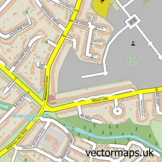
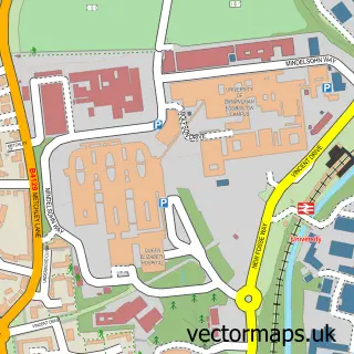
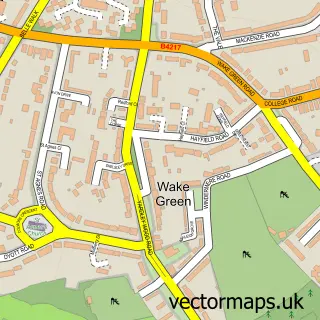
More street maps in West Midlands
750 metre map area coverage
Boundary, postcode and point of interest information for the 750m x 750m rectangle centred on this sample map.
Boundaries containing map centre
Constituency: Birmingham Selly Oak Boro Const
District: Birmingham District (B)
Icb: NHS Birmingham and Solihull ICB
Police Force: west midlands
Postcode District: B30
Postcode Sector: B30 2
Ward: Stirchley Ward
Nearby boundaries intersecting sample
Postcode District: B29
Postcode Sector: B29 7
Ward: Bournbrook & Selly Park Ward
Postcode coverage
POI category counts
Cafe: 9
Indian Restaurant: 8
Supermarket: 7
Professional Services: 6
Automotive Repair: 5
Barber: 5
Building Supply Store: 5
Package Locker: 5
Church Cathedral: 4
Clothing Store: 4
Sample points of interest
- Co-wheels Car Club
- Knowing Media Knowing You
- Funspot
- Cottage Fireplaces
- Printing Craft
- Stand Up Courses
- Sustain UK
- Payzone
- Hazelwell Allotments
- Millwoods Tuesday Auction
- Greens Total Car Care Centre
- new ultimate car audio
Create a larger editable map of Stirchley
This sample shows only a 750 metre area. To create a larger map of Stirchley, use our map builder to choose your own coverage area, add titles and download editable SVG, PDF and PNG files.
Create a custom map of Stirchley