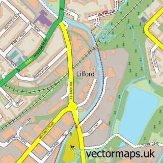
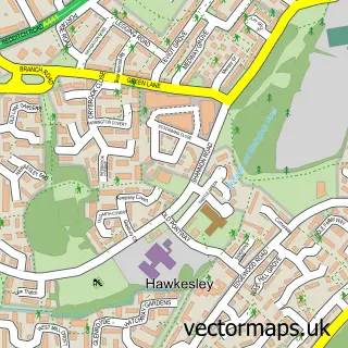
This Brandwood End street map is a detailed vector street map covering a 750m x 750m area. Select a larger area to create and download your own vector street map of Brandwood End.
The 750-metre map sample for Brandwood End covers 331 mapped buildings and approximately 27.7 km of road detail, of which 33 named roads are named. The immediate area includes 14 GP surgeries within 2 miles and 28 MOT stations within 2 miles. The wider area around Brandwood End features 2 tourism points of interest and 1 food and drink venue. To create a larger or custom map of Brandwood End, the map builder lets you define your own coverage area and download editable SVG, PDF and PNG files.
Create a larger editable map of Brandwood End
Choose any area you need and generate a high-quality vector map instantly. Perfect for print, planning, design, business and personal use.

This Brandwood End street map in West Midlands is available as downloadable SVG, PDF and PNG map files, or as a printed map for planning, business, display, education, local information and design work. You can also create a larger custom map area using the map selector.
What this Brandwood End map sample shows
Brandwood End lies within Birmingham District (B) parish, part of King's Norton South ward in the Birmingham District (B) local authority area. The postcode geography for this area includes the B postcode area, the B30 postcode district and the B30 3 postcode sector. Residents fall under the Nhs Birmingham And Solihull Integrated Care Board for NHS services.
Local features near Brandwood End
Within 2 milesAmenities and services in and around Brandwood End.
Administrative and postcode information for Brandwood End
The local authority covering Brandwood End is Birmingham District (B), within the county of West Midlands. The settlement lies within King's Norton South ward and Birmingham District (B) civil parish. The B30 postcode district and B30 3 postcode sector serve the immediate area. NHS provision in the area is delivered through University Hospitals Birmingham Nhs Foundation Trust.
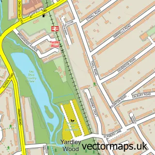
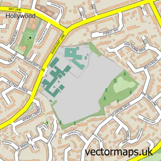
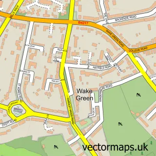
Nearby street map samples around Brandwood End


More street maps in West Midlands
750 metre map area coverage
Boundary, postcode and point of interest information for the 750m x 750m rectangle centred on this sample map.
Boundaries containing map centre
Constituency: Birmingham Selly Oak Boro Const
District: Birmingham District (B)
Icb: NHS Birmingham and Solihull ICB
Police Force: west midlands
Postcode District: B14
Postcode Sector: B14 6
Ward: Brandwood & King's Heath Ward
Nearby boundaries intersecting sample
Postcode District: B30
Postcode Sector: B14 5, B30 3
Ward: Druids Heath & Monyhull Ward
Postcode coverage
POI category counts
Professional Services: 4
Advertising Agency: 1
Auto Electrical Repair: 1
Building Supply Store: 1
Cafe: 1
Contractor: 1
Convenience Store: 1
Education: 1
Electrician: 1
Eyewear And Optician: 1
Sample points of interest
- Kreative Krowd
- Urban & Rural Electrical Services
- West Midlands Home Improvements
- Broad Lane Cafe
- O4 Kitchens
- One Stop Kings Heath Broad
- Neon Monkey
- Birmingham Electrician Uk-house Rewire
- IStyle Designs
- Broad Lane Chippy
- One-Stop
- Herberts Cleaning Ltd
Create a larger editable map of Brandwood End
This sample shows only a 750 metre area. To create a larger map of Brandwood End, use our map builder to choose your own coverage area, add titles and download editable SVG, PDF and PNG files.
Create a custom map of Brandwood End