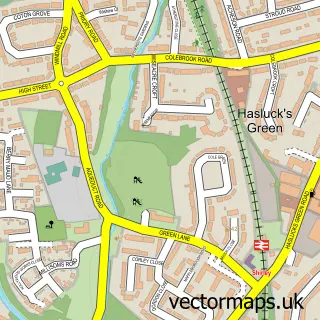
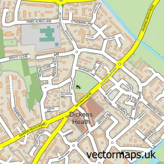
This Solihull Lodge street map is a detailed vector street map covering a 750m x 750m area. Select a larger area to create and download your own vector street map of Solihull Lodge.
The 750-metre map sample for Solihull Lodge covers 397 mapped buildings and approximately 29.0 km of road detail, of which 20 named roads are named. The immediate area includes 2 schools, 10 GP surgeries within 2 miles, 1 pub and 10 MOT stations within 2 miles. The wider area around Solihull Lodge features 2 food and drink venues. To create a larger or custom map of Solihull Lodge, the map builder lets you define your own coverage area and download editable SVG, PDF and PNG files.
Create a larger editable map of Solihull Lodge
Choose any area you need and generate a high-quality vector map instantly. Perfect for print, planning, design, business and personal use.

This Solihull Lodge street map in West Midlands is available as downloadable SVG, PDF and PNG map files, or as a printed map for planning, business, display, education, local information and design work. You can also create a larger custom map area using the map selector.
What this Solihull Lodge map sample shows
Solihull Lodge lies within Wythall Cp parish, part of Wythall East ward in the Bromsgrove District local authority area. The postcode geography for this area includes the B postcode area, the B90 postcode district and the B90 1 postcode sector. Residents fall under the Nhs Herefordshire And Worcestershire Integrated Care Board for NHS services.
Local features near Solihull Lodge
Within 2 milesAmenities and services in and around Solihull Lodge.
Administrative and postcode information for Solihull Lodge
The local authority covering Solihull Lodge is Bromsgrove District, within the county of West Midlands. The settlement lies within Wythall East ward and Wythall Cp civil parish. The B90 postcode district and B90 1 postcode sector serve the immediate area. NHS provision in the area is delivered through University Hospitals Birmingham Nhs Foundation Trust.
Nearby street map samples around Solihull Lodge


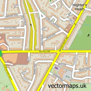
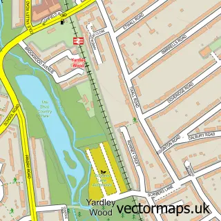
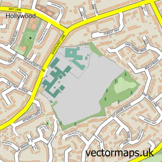
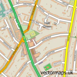
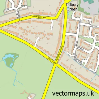
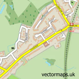
More street maps in West Midlands
750 metre map area coverage
Boundary, postcode and point of interest information for the 750m x 750m rectangle centred on this sample map.
Boundaries containing map centre
Constituency: Solihull West and Shirley Boro Const
District: Solihull District (B)
Icb: NHS Birmingham and Solihull ICB
Police Force: west midlands
Postcode District: B90
Postcode Sector: B90 1
Ward: Shirley West Ward
Nearby boundaries intersecting sample
Constituency: Bromsgrove Co Const
County: Worcestershire County
District: Bromsgrove District
Icb: NHS Herefordshire and Worcestershire ICB
Parish: Wythall CP
Police Force: west mercia
Ward: Wythall East Ward
Postcode coverage
POI category counts
Convenience Store: 4
Gas Station: 4
Bar: 2
Car Wash: 2
Clothing Store: 2
Elementary School: 2
Hair Salon: 2
Home Service: 2
Professional Services: 2
Taxi Service: 2
Sample points of interest
- Becklands Wood Bookkeeping Solihull
- Spot on Design
- E Y Embroidery
- Blue Parrot Software
- Solihull Lodge
- Bathing Mobility Advisory Service
- Lawn & Garden Care by Mark
- Intercity Hire Ltd
- BP
- BP Car Wash
- Pristine Carpet Care
- Jo's Babysitting
Create a larger editable map of Solihull Lodge
This sample shows only a 750 metre area. To create a larger map of Solihull Lodge, use our map builder to choose your own coverage area, add titles and download editable SVG, PDF and PNG files.
Create a custom map of Solihull Lodge