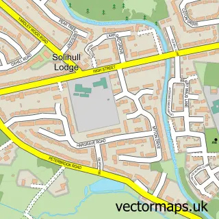
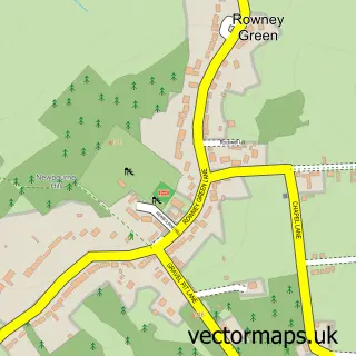
This Wythall street map is a detailed vector street map covering a 750m x 750m area. Select a larger area to create and download your own vector street map of Wythall.
The 750-metre map sample for Wythall covers 249 mapped buildings and approximately 15.8 km of road detail, of which 15 named roads are named. The immediate area includes 1 railway station, 1 GP surgery, with 2 within 2 miles and 4 MOT stations within 2 miles. The wider area around Wythall features 1 tourism point of interest. To create a larger or custom map of Wythall, the map builder lets you define your own coverage area and download editable SVG, PDF and PNG files.
Create a larger editable map of Wythall
Choose any area you need and generate a high-quality vector map instantly. Perfect for print, planning, design, business and personal use.

This Wythall street map in Worcestershire is available as downloadable SVG, PDF and PNG map files, or as a printed map for planning, business, display, education, local information and design work. You can also create a larger custom map area using the map selector.
What this Wythall map sample shows
Wythall lies within Wythall Cp parish, part of Wythall West ward in the Bromsgrove District local authority area. The postcode geography for this area includes the B postcode area, the B47 postcode district and the B47 6 postcode sector. Residents fall under the Nhs Herefordshire And Worcestershire Integrated Care Board for NHS services.
Local features near Wythall
Within 2 milesAmenities and services in and around Wythall.
Administrative and postcode information for Wythall
Wythall lies within Wythall Cp parish, part of Wythall West ward in the Bromsgrove District local authority area. The postcode geography for this area includes the B postcode area, the B47 postcode district and the B47 6 postcode sector. Residents fall under the Nhs Herefordshire And Worcestershire Integrated Care Board for NHS services.
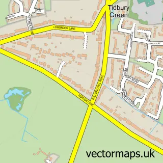
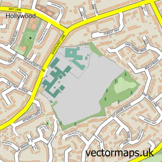
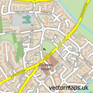
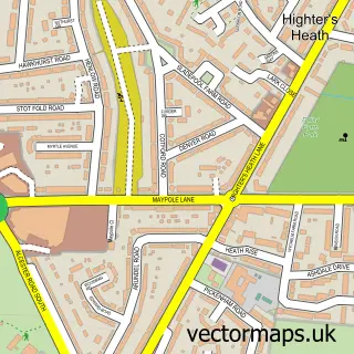
Nearby street map samples around Wythall


More street maps in Worcestershire
750 metre map area coverage
Boundary, postcode and point of interest information for the 750m x 750m rectangle centred on this sample map.
Boundaries containing map centre
Constituency: Bromsgrove Co Const
County: Worcestershire County
District: Bromsgrove District
Icb: NHS Herefordshire and Worcestershire ICB
Parish: Wythall CP
Police Force: west mercia
Postcode District: B47
Postcode Sector: B47 6
Ward: Wythall East Ward
Nearby boundaries intersecting sample
Ward: Wythall West Ward
Postcode coverage
POI category counts
Convenience Store: 2
Package Locker: 2
Pharmacy: 2
Professional Services: 2
Train Station: 2
Alternative Medicine: 1
Atms: 1
Beauty And Spa: 1
Beauty Salon: 1
Building Supply Store: 1
Sample points of interest
- Fiona Campbell
- Select and Save (LINK DC)
- The Luxury Spot Salon - princess pamper parties
- Kate Richardson Hair
- Lawn & Gardens Ltd
- RJW Design and build Ltd
- Londis
- Select and Save
- Omnia Dental Spa
- Hollyoaks Medical Centre
- Canine Scentwork Academy
- Wythall Driving School
Create a larger editable map of Wythall
This sample shows only a 750 metre area. To create a larger map of Wythall, use our map builder to choose your own coverage area, add titles and download editable SVG, PDF and PNG files.
Create a custom map of Wythall