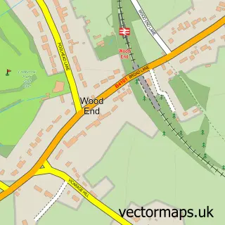
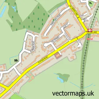
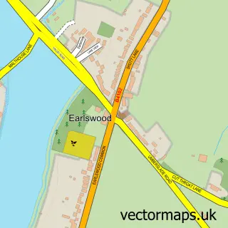
This Portway street map is a detailed vector street map covering a 750m x 750m area. Select a larger area to create and download your own vector street map of Portway.
The 750-metre map sample for Portway covers 80 mapped buildings and approximately 16.1 km of road detail, of which 5 named roads are named. The immediate area includes 1 GP surgery within 2 miles and 1 MOT station, with 5 within 2 miles. The wider area around Portway features 1 tourism point of interest. To create a larger or custom map of Portway, the map builder lets you define your own coverage area and download editable SVG, PDF and PNG files.
Create a larger editable map of Portway
Choose any area you need and generate a high-quality vector map instantly. Perfect for print, planning, design, business and personal use.

This Portway street map in Worcestershire is available as downloadable SVG, PDF and PNG map files, or as a printed map for planning, business, display, education, local information and design work. You can also create a larger custom map area using the map selector.
What this Portway map sample shows
Portway lies within Tanworth-In-Arden Cp parish, part of Tanworth-In-Arden ward in the Stratford-On-Avon District local authority area. The postcode geography for this area includes the B postcode area, the B94 postcode district and the B94 5 postcode sector. Residents fall under the Nhs Coventry And Warwickshire Integrated Care Board for NHS services.
Local features near Portway
Within 2 milesAmenities and services in and around Portway.
Administrative and postcode information for Portway
Portway lies within Tanworth-In-Arden Cp parish, part of Tanworth-In-Arden ward in the Stratford-On-Avon District local authority area. The postcode geography for this area includes the B postcode area, the B94 postcode district and the B94 5 postcode sector. Residents fall under the Nhs Coventry And Warwickshire Integrated Care Board for NHS services.
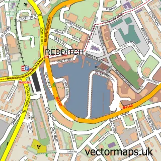
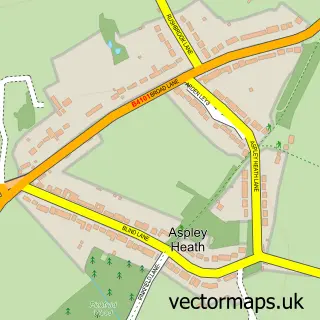
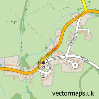
Nearby street map samples around Portway

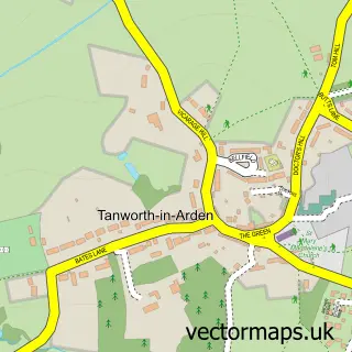
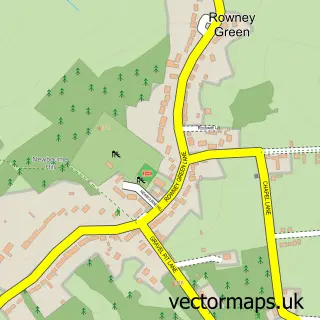
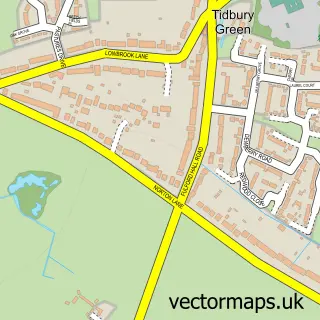
More street maps in Worcestershire
750 metre map area coverage
Boundary, postcode and point of interest information for the 750m x 750m rectangle centred on this sample map.
Boundaries containing map centre
Constituency: Bromsgrove Co Const
County: Worcestershire County
District: Bromsgrove District
Icb: NHS Herefordshire and Worcestershire ICB
Parish: Beoley CP
Police Force: west mercia
Postcode District: B48
Postcode Sector: B48 7
Ward: Alvechurch South Ward
Nearby boundaries intersecting sample
Constituency: Stratford-on-Avon Co Const
County: Warwickshire County
District: Stratford-on-Avon District
Icb: NHS Coventry and Warwickshire ICB
Parish: Tanworth-in-Arden CP
Police Force: warwickshire
Postcode District: B94
Postcode Sector: B94 5
Ward: Tanworth-in-Arden Ward
Postcode coverage
POI category counts
Automotive Repair: 5
Car Dealer: 3
Hunting And Fishing Supplies: 2
Bakery: 1
Cleaning Services: 1
Commercial Real Estate: 1
Contractor: 1
Garbage Collection Service: 1
Home Cleaning: 1
Landmark And Historical Building: 1
Sample points of interest
- G S Autos
- Gs Autos Ltd
- N J Palmer and Sons
- Newman Motor Engineers
- Portway Motor Services Ltd
- Tara House Bakery
- Kirby Commercials
- Midland Vans Online
- Portway Trading Estate
- Clear Managed Services
- Holly Farm Properties
- Headway Traffic Management
Create a larger editable map of Portway
This sample shows only a 750 metre area. To create a larger map of Portway, use our map builder to choose your own coverage area, add titles and download editable SVG, PDF and PNG files.
Create a custom map of Portway