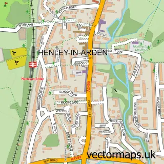
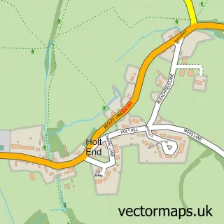
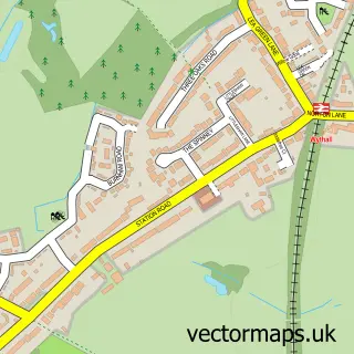
This Wood End street map is a detailed vector street map covering a 750m x 750m area. Select a larger area to create and download your own vector street map of Wood End.
The 750-metre map sample for Wood End covers 126 mapped buildings and approximately 19.9 km of road detail, of which 5 named roads are named. The immediate area includes 1 railway station, 1 GP surgery, 1 pub and 6 MOT stations within 2 miles. The wider area around Wood End features 1 food and drink venue. To create a larger or custom map of Wood End, the map builder lets you define your own coverage area and download editable SVG, PDF and PNG files.
Create a larger editable map of Wood End
Choose any area you need and generate a high-quality vector map instantly. Perfect for print, planning, design, business and personal use.

This Wood End street map in Warwickshire is available as downloadable SVG, PDF and PNG map files, or as a printed map for planning, business, display, education, local information and design work. You can also create a larger custom map area using the map selector.
What this Wood End map sample shows
Wood End lies within Tanworth-In-Arden Cp parish, part of Tanworth-In-Arden ward in the Stratford-On-Avon District local authority area. The postcode geography for this area includes the B postcode area, the B94 postcode district and the B94 5 postcode sector. Residents fall under the Nhs Coventry And Warwickshire Integrated Care Board for NHS services.
Local features near Wood End
Within 2 milesAmenities and services in and around Wood End.
Administrative and postcode information for Wood End
Wood End lies within Tanworth-In-Arden Cp parish, part of Tanworth-In-Arden ward in the Stratford-On-Avon District local authority area. The postcode geography for this area includes the B postcode area, the B94 postcode district and the B94 5 postcode sector. Residents fall under the Nhs Coventry And Warwickshire Integrated Care Board for NHS services.
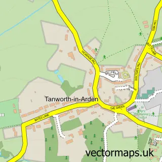
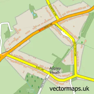
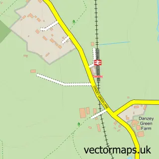
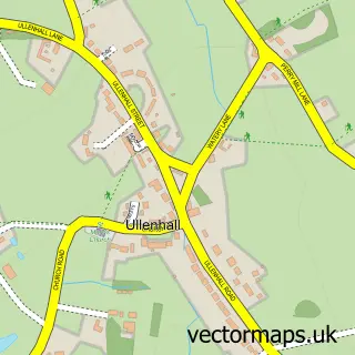
Nearby street map samples around Wood End

More street maps in Warwickshire
750 metre map area coverage
Boundary, postcode and point of interest information for the 750m x 750m rectangle centred on this sample map.
Boundaries containing map centre
Constituency: Stratford-on-Avon Co Const
County: Warwickshire County
District: Stratford-on-Avon District
Icb: NHS Coventry and Warwickshire ICB
Parish: Tanworth-in-Arden CP
Police Force: warwickshire
Postcode District: B94
Postcode Sector: B94 5
Ward: Tanworth-in-Arden Ward
Nearby boundaries intersecting sample
No additional intersecting boundaries found.
Postcode coverage
POI category counts
Golf Course: 2
Bar: 1
College University: 1
Community Center: 1
Computer Store: 1
Computer Wholesaler: 1
Doctor: 1
Family Practice: 1
Medical Center: 1
Professional Services: 1
Sample points of interest
- Old Royal Oak
- Floristry at Moreton Morrell College
- Elmdon Heath Community Centre.
- Offtek
- Offtek Ltd.
- Tanworth-in-Arden Med Ctr
- Tanworth-In-Arden Medical Practice
- Ladbrook Park Golf Club
- Richard Mountford
- Advance Physio
- Adell Explores - UK Travel
- The Warwickshire Lad
Create a larger editable map of Wood End
This sample shows only a 750 metre area. To create a larger map of Wood End, use our map builder to choose your own coverage area, add titles and download editable SVG, PDF and PNG files.
Create a custom map of Wood End