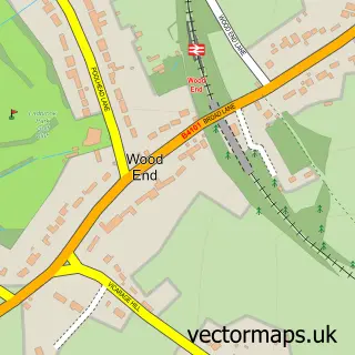
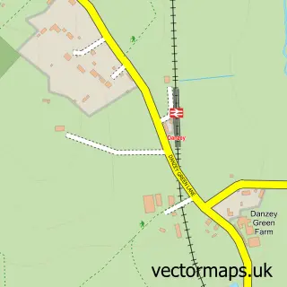
This Holt End street map is a detailed vector street map covering a 750m x 750m area. Select a larger area to create and download your own vector street map of Holt End.
The 750-metre map sample for Holt End covers 96 mapped buildings and approximately 15.9 km of road detail, of which 9 named roads are named. The immediate area includes 1 GP surgery within 2 miles, 1 pub and 12 MOT stations within 2 miles. The wider area around Holt End features 1 tourism point of interest and 1 food and drink venue. To create a larger or custom map of Holt End, the map builder lets you define your own coverage area and download editable SVG, PDF and PNG files.
Create a larger editable map of Holt End
Choose any area you need and generate a high-quality vector map instantly. Perfect for print, planning, design, business and personal use.

This Holt End street map in Worcestershire is available as downloadable SVG, PDF and PNG map files, or as a printed map for planning, business, display, education, local information and design work. You can also create a larger custom map area using the map selector.
What this Holt End map sample shows
Holt End lies within Beoley Cp parish, part of Alvechurch South ward in the Bromsgrove District local authority area. The postcode geography for this area includes the B postcode area, the B98 postcode district and the B98 9 postcode sector. Residents fall under the Nhs Herefordshire And Worcestershire Integrated Care Board for NHS services.
Local features near Holt End
Within 2 milesAmenities and services in and around Holt End.
Administrative and postcode information for Holt End
The local authority covering Holt End is Bromsgrove District, within the county of Worcestershire. The settlement lies within Alvechurch South ward and Beoley Cp civil parish. The B98 postcode district and B98 9 postcode sector serve the immediate area. NHS provision in the area is delivered through Worcestershire Acute Hospitals Nhs Trust.
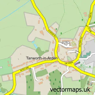
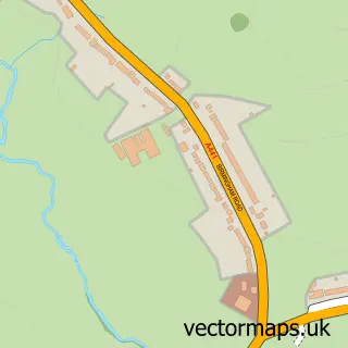
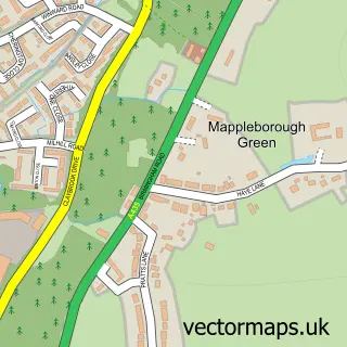
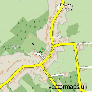
Nearby street map samples around Holt End

More street maps in Worcestershire
750 metre map area coverage
Boundary, postcode and point of interest information for the 750m x 750m rectangle centred on this sample map.
Boundaries containing map centre
Constituency: Bromsgrove Co Const
County: Worcestershire County
District: Bromsgrove District
Icb: NHS Herefordshire and Worcestershire ICB
Parish: Beoley CP
Police Force: west mercia
Postcode District: B98
Postcode Sector: B98 9
Ward: Alvechurch South Ward
Nearby boundaries intersecting sample
No additional intersecting boundaries found.
Postcode coverage
POI category counts
Information Technology Company: 2
Community Center: 1
Landmark And Historical Building: 1
Preschool: 1
Pub: 1
Video Film Production: 1
Sample points of interest
- Beoley Village Hall
- XD-IT Services Ltd
- Xd-It Services
- Holt End, Worcestershire
- Woodland House Private Day Nursery
- The Village Inn
- B B T V Ltd.
Create a larger editable map of Holt End
This sample shows only a 750 metre area. To create a larger map of Holt End, use our map builder to choose your own coverage area, add titles and download editable SVG, PDF and PNG files.
Create a custom map of Holt End