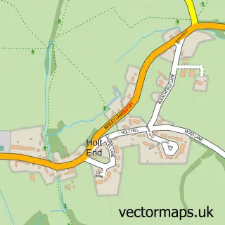
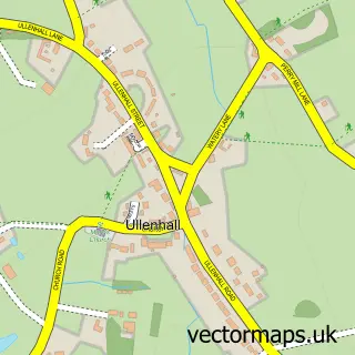
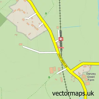
This Mappleborough Green street map is a detailed vector street map covering a 750m x 750m area. Select a larger area to create and download your own vector street map of Mappleborough Green.
The 750-metre map sample for Mappleborough Green covers 183 mapped buildings and approximately 23.6 km of road detail, of which 14 named roads are named. The immediate area includes 2 GP surgeries within 2 miles and 18 MOT stations within 2 miles. To create a larger or custom map of Mappleborough Green, the map builder lets you define your own coverage area and download editable SVG, PDF and PNG files.
Create a larger editable map of Mappleborough Green
Choose any area you need and generate a high-quality vector map instantly. Perfect for print, planning, design, business and personal use.

This Mappleborough Green street map in Warwickshire is available as downloadable SVG, PDF and PNG map files, or as a printed map for planning, business, display, education, local information and design work. You can also create a larger custom map area using the map selector.
What this Mappleborough Green map sample shows
Mappleborough Green lies within Mappleborough Green Cp parish, part of Studley With Mappleborough Green ward in the Stratford-On-Avon District local authority area. The postcode geography for this area includes the B postcode area, the B80 postcode district and the B80 7 postcode sector. Residents fall under the Nhs Coventry And Warwickshire Integrated Care Board for NHS services.
Local features near Mappleborough Green
Within 2 milesAmenities and services in and around Mappleborough Green.
Administrative and postcode information for Mappleborough Green
The local authority covering Mappleborough Green is Stratford-On-Avon District, within the county of Warwickshire. The settlement lies within Studley With Mappleborough Green ward and Mappleborough Green Cp civil parish. The B80 postcode district and B80 7 postcode sector serve the immediate area. NHS provision in the area is delivered through Worcestershire Acute Hospitals Nhs Trust.
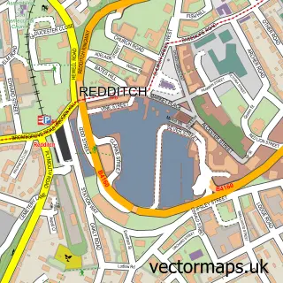
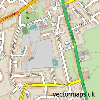
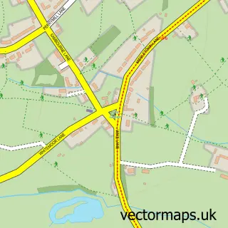
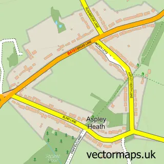
Nearby street map samples around Mappleborough Green

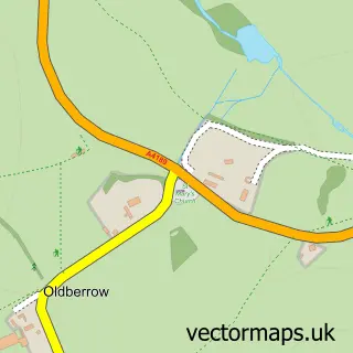
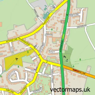
More street maps in Warwickshire
750 metre map area coverage
Boundary, postcode and point of interest information for the 750m x 750m rectangle centred on this sample map.
Boundaries containing map centre
Constituency: Stratford-on-Avon Co Const
County: Warwickshire County
District: Stratford-on-Avon District
Icb: NHS Coventry and Warwickshire ICB
Parish: Mappleborough Green CP
Police Force: warwickshire
Postcode District: B80
Postcode Sector: B80 7
Ward: Wootton Wawen Ward
Nearby boundaries intersecting sample
Constituency: Redditch Co Const
County: Worcestershire County
District: Redditch District (B)
Icb: NHS Herefordshire and Worcestershire ICB
Police Force: west mercia
Postcode District: B98
Postcode Sector: B98 0
Ward: Matchborough & Woodrow Ward
Postcode coverage
POI category counts
Building Supply Store: 3
Driving School: 2
Active Life: 1
Boot Camp: 1
Church Cathedral: 1
Cleaning Services: 1
Contractor: 1
Corporate Entertainment Services: 1
Dance Club: 1
Gym: 1
Sample points of interest
- Morton Stanley
- Tumble Tots
- Buildtek Ltd
- Infinity Bathrooms & Kitchens
- Perfect Ponds & Landscapes Ltd
- Church of the Ascension, Mappleborough Green
- Bright & Beautiful
- C and C Flooring Ltd
- International Neil Diamond & Tom Jones Tribute Act
- G&R Disco Services
- Associated Transport Tuition
- Subaru Rally School
Create a larger editable map of Mappleborough Green
This sample shows only a 750 metre area. To create a larger map of Mappleborough Green, use our map builder to choose your own coverage area, add titles and download editable SVG, PDF and PNG files.
Create a custom map of Mappleborough Green