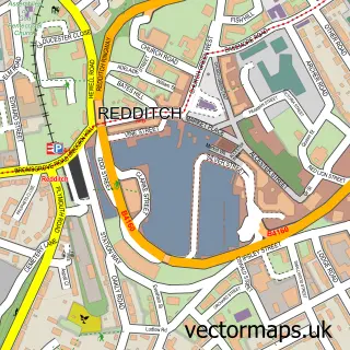
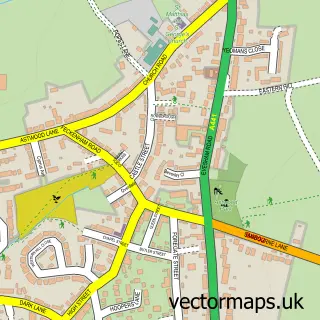
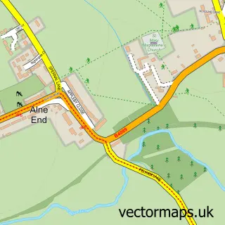
This Studley street map is a detailed vector street map covering a 750m x 750m area. Select a larger area to create and download your own vector street map of Studley.
The 750-metre map sample for Studley covers 416 mapped buildings and approximately 30.9 km of road detail, of which 39 named roads are named. The immediate area includes 2 primary schools and 1 secondary school, 1 GP surgery, with 2 within 2 miles, 3 pubs and 1 MOT station, with 10 within 2 miles. The wider area around Studley features 3 tourism points of interest and 4 food and drink venues. To create a larger or custom map of Studley, the map builder lets you define your own coverage area and download editable SVG, PDF and PNG files.
Create a larger editable map of Studley
Choose any area you need and generate a high-quality vector map instantly. Perfect for print, planning, design, business and personal use.

This Studley street map in Warwickshire is available as downloadable SVG, PDF and PNG map files, or as a printed map for planning, business, display, education, local information and design work. You can also create a larger custom map area using the map selector.
What this Studley map sample shows
Studley lies within Studley Cp parish, part of Studley With Mappleborough Green ward in the Stratford-On-Avon District local authority area. The postcode geography for this area includes the B postcode area, the B80 postcode district and the B80 7 postcode sector. Residents fall under the Nhs Coventry And Warwickshire Integrated Care Board for NHS services.
Local features near Studley
Within 2 milesAmenities and services in and around Studley.
Administrative and postcode information for Studley
The local authority covering Studley is Stratford-On-Avon District, within the county of Warwickshire. The settlement lies within Studley With Mappleborough Green ward and Studley Cp civil parish. The B80 postcode district and B80 7 postcode sector serve the immediate area. NHS provision in the area is delivered through Worcestershire Acute Hospitals Nhs Trust.
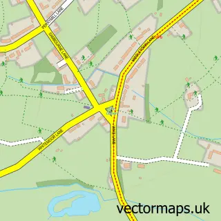
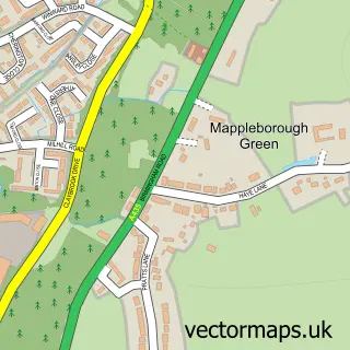
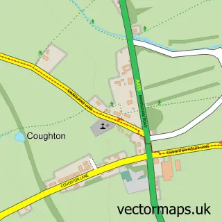
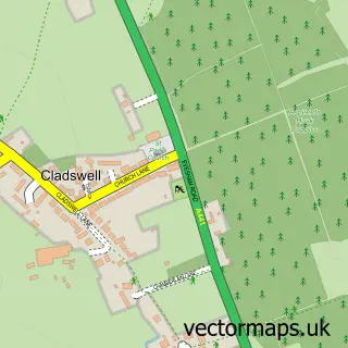
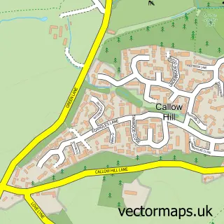
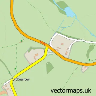
Nearby street map samples around Studley

More street maps in Warwickshire
750 metre map area coverage
Boundary, postcode and point of interest information for the 750m x 750m rectangle centred on this sample map.
Boundaries containing map centre
Constituency: Stratford-on-Avon Co Const
County: Warwickshire County
District: Stratford-on-Avon District
Icb: NHS Coventry and Warwickshire ICB
Parish: Studley CP
Police Force: warwickshire
Postcode District: B80
Postcode Sector: B80 7
Ward: Studley South Ward
Nearby boundaries intersecting sample
Ward: Studley North Ward
Postcode coverage
POI category counts
Building Supply Store: 4
Pharmacy: 4
Professional Services: 4
Automotive Repair: 3
Beauty Salon: 3
Doctor: 3
Driving School: 3
Elementary School: 3
Pub: 3
Active Life: 2
Sample points of interest
- 480 Squadron ATC
- Studley Swimming Pool
- Redditch and Bromsgrove Company of Archers
- Highbury Design
- D C Edginton & Sons
- GTS Electronics - Road Sweeper Services
- Motorhome Sales
- Bruno's Bakery
- Studley Baptist Church
- Studley Spice
- Hair by Lucy Elizabeth
- Salon J
Create a larger editable map of Studley
This sample shows only a 750 metre area. To create a larger map of Studley, use our map builder to choose your own coverage area, add titles and download editable SVG, PDF and PNG files.
Create a custom map of Studley