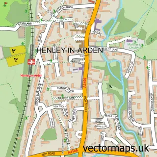
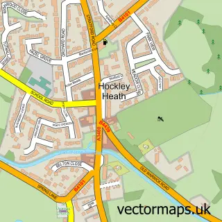
This Tanworth-in-Arden street map is a detailed vector street map covering a 750m x 750m area. Select a larger area to create and download your own vector street map of Tanworth-in-Arden.
The 750-metre map sample for Tanworth-in-Arden covers 134 mapped buildings and approximately 16.9 km of road detail, of which 9 named roads are named. The immediate area includes 1 school, 1 GP surgery within 2 miles, 1 pub and 1 MOT station, with 3 within 2 miles. The wider area around Tanworth-in-Arden features 1 tourism point of interest and 1 food and drink venue. To create a larger or custom map of Tanworth-in-Arden, the map builder lets you define your own coverage area and download editable SVG, PDF and PNG files.
Create a larger editable map of Tanworth-in-Arden
Choose any area you need and generate a high-quality vector map instantly. Perfect for print, planning, design, business and personal use.

This Tanworth-in-Arden street map in Warwickshire is available as downloadable SVG, PDF and PNG map files, or as a printed map for planning, business, display, education, local information and design work. You can also create a larger custom map area using the map selector.
What this Tanworth-in-Arden map sample shows
Tanworth-in-Arden lies within Tanworth-In-Arden Cp parish, part of Tanworth-In-Arden ward in the Stratford-On-Avon District local authority area. The postcode geography for this area includes the B postcode area, the B94 postcode district and the B94 5 postcode sector. Residents fall under the Nhs Coventry And Warwickshire Integrated Care Board for NHS services.
Local features near Tanworth-in-Arden
Within 2 milesAmenities and services in and around Tanworth-in-Arden.
Administrative and postcode information for Tanworth-in-Arden
The local authority covering Tanworth-in-Arden is Stratford-On-Avon District, within the county of Warwickshire. The settlement lies within Tanworth-In-Arden ward and Tanworth-In-Arden Cp civil parish. The B94 postcode district and B94 5 postcode sector serve the immediate area. NHS provision in the area is delivered through Worcestershire Acute Hospitals Nhs Trust.
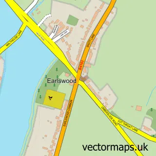
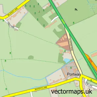
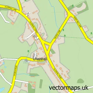
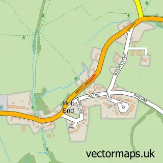
Nearby street map samples around Tanworth-in-Arden

More street maps in Warwickshire
750 metre map area coverage
Boundary, postcode and point of interest information for the 750m x 750m rectangle centred on this sample map.
Boundaries containing map centre
Constituency: Stratford-on-Avon Co Const
County: Warwickshire County
District: Stratford-on-Avon District
Icb: NHS Coventry and Warwickshire ICB
Parish: Tanworth-in-Arden CP
Police Force: warwickshire
Postcode District: B94
Postcode Sector: B94 5
Ward: Tanworth-in-Arden Ward
Nearby boundaries intersecting sample
No additional intersecting boundaries found.
Postcode coverage
POI category counts
Elementary School: 3
Agriculture: 1
Automotive Repair: 1
Catholic Church: 1
Construction Services: 1
Contractor: 1
Dentist: 1
Gastropub: 1
Landmark And Historical Building: 1
Osteopath: 1
Sample points of interest
- Summers Poultry Products
- Tanworth Garage
- St. Mary Magdalene
- Warwickshire Groundworks
- Warwickshire Construction & Civils
- Bellissima Clinic
- Tanworth C of E Primary School
- Tanworth-in-Arden CofE Primary School
- Umberslade Forest School
- The Bell Inn
- Tanworth-in-Arden
- Dynamic Regenerative Medicine
Create a larger editable map of Tanworth-in-Arden
This sample shows only a 750 metre area. To create a larger map of Tanworth-in-Arden, use our map builder to choose your own coverage area, add titles and download editable SVG, PDF and PNG files.
Create a custom map of Tanworth-in-Arden