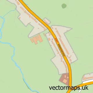
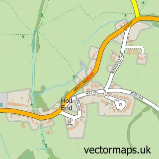
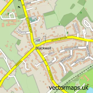
This Rowney Green street map is a detailed vector street map covering a 750m x 750m area. Select a larger area to create and download your own vector street map of Rowney Green.
The 750-metre map sample for Rowney Green covers 156 mapped buildings and approximately 13.0 km of road detail, of which 5 named roads are named. The immediate area includes 2 MOT stations within 2 miles. The wider area around Rowney Green features 1 tourism point of interest. To create a larger or custom map of Rowney Green, the map builder lets you define your own coverage area and download editable SVG, PDF and PNG files.
Create a larger editable map of Rowney Green
Choose any area you need and generate a high-quality vector map instantly. Perfect for print, planning, design, business and personal use.

This Rowney Green street map in Worcestershire is available as downloadable SVG, PDF and PNG map files, or as a printed map for planning, business, display, education, local information and design work. You can also create a larger custom map area using the map selector.
What this Rowney Green map sample shows
Rowney Green lies within Alvechurch Cp parish, part of Alvechurch South ward in the Bromsgrove District local authority area. The postcode geography for this area includes the B postcode area, the B48 postcode district and the B48 7 postcode sector. Residents fall under the Nhs Herefordshire And Worcestershire Integrated Care Board for NHS services.
Local features near Rowney Green
Within 2 milesAmenities and services in and around Rowney Green.
Administrative and postcode information for Rowney Green
The local authority covering Rowney Green is Bromsgrove District, within the county of Worcestershire. The settlement lies within Alvechurch South ward and Alvechurch Cp civil parish. The B48 postcode district and B48 7 postcode sector serve the immediate area. NHS provision in the area is delivered through Worcestershire Acute Hospitals Nhs Trust.
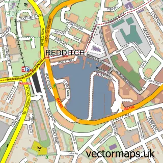
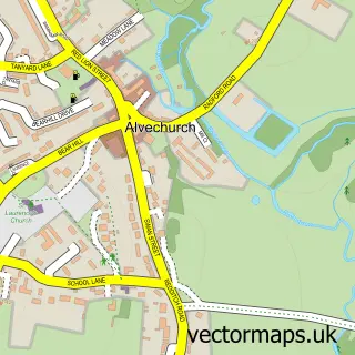
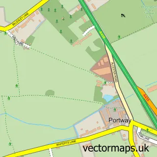
Nearby street map samples around Rowney Green

More street maps in Worcestershire
750 metre map area coverage
Boundary, postcode and point of interest information for the 750m x 750m rectangle centred on this sample map.
Boundaries containing map centre
Constituency: Bromsgrove Co Const
County: Worcestershire County
District: Bromsgrove District
Icb: NHS Herefordshire and Worcestershire ICB
Parish: Alvechurch CP
Police Force: west mercia
Postcode District: B48
Postcode Sector: B48 7
Ward: Alvechurch South Ward
Nearby boundaries intersecting sample
No additional intersecting boundaries found.
Postcode coverage
POI category counts
Active Life: 1
Church Cathedral: 1
Contractor: 1
Dance School: 1
Education: 1
Event Planning: 1
Landmark And Historical Building: 1
Physical Therapy: 1
Professional Services: 1
Specialty School: 1
Sample points of interest
- Professional Development Training Ltd.
- Rowney Green Shared Chapel
- Contech Construction
- Riopedre Dance Academy
- Rhythm Time Birmingham Central
- Seechem Weddings Worcestershire
- Rowney Green
- Physiothermic Clinic
- R a Cure Contractors
- Riopedre Dance Academy
Create a larger editable map of Rowney Green
This sample shows only a 750 metre area. To create a larger map of Rowney Green, use our map builder to choose your own coverage area, add titles and download editable SVG, PDF and PNG files.
Create a custom map of Rowney Green