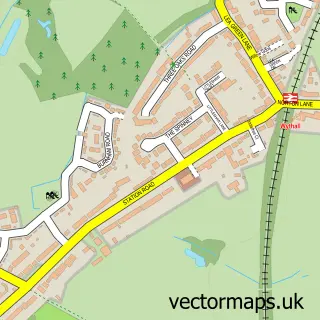
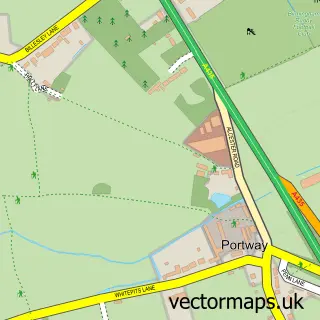
This Hollywood street map is a detailed vector street map covering a 750m x 750m area. Select a larger area to create and download your own vector street map of Hollywood.
The 750-metre map sample for Hollywood covers 492 mapped buildings and approximately 32.0 km of road detail, of which 42 named roads are named. The immediate area includes 1 primary school and 1 secondary school, 1 GP surgery, with 5 within 2 miles and 5 MOT stations within 2 miles. To create a larger or custom map of Hollywood, the map builder lets you define your own coverage area and download editable SVG, PDF and PNG files.
Create a larger editable map of Hollywood
Choose any area you need and generate a high-quality vector map instantly. Perfect for print, planning, design, business and personal use.

This Hollywood street map in Worcestershire is available as downloadable SVG, PDF and PNG map files, or as a printed map for planning, business, display, education, local information and design work. You can also create a larger custom map area using the map selector.
What this Hollywood map sample shows
Hollywood lies within Wythall Cp parish, part of Drakes Cross ward in the Bromsgrove District local authority area. The postcode geography for this area includes the B postcode area, the B47 postcode district and the B47 5 postcode sector. Residents fall under the Nhs Herefordshire And Worcestershire Integrated Care Board for NHS services.
Local features near Hollywood
Within 2 milesAmenities and services in and around Hollywood.
Administrative and postcode information for Hollywood
The local authority covering Hollywood is Bromsgrove District, within the county of Worcestershire. The settlement lies within Drakes Cross ward and Wythall Cp civil parish. The B47 postcode district and B47 5 postcode sector serve the immediate area. NHS provision in the area is delivered through University Hospitals Birmingham Nhs Foundation Trust.
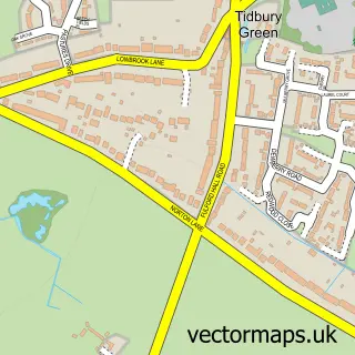
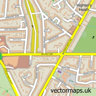
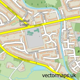
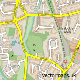
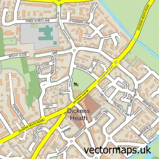
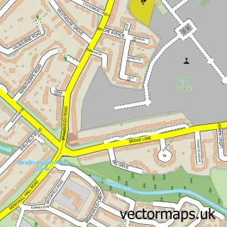
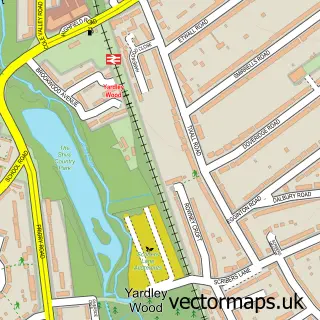
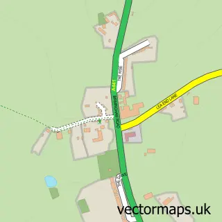
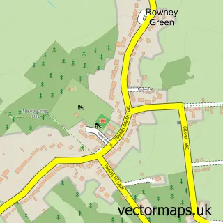
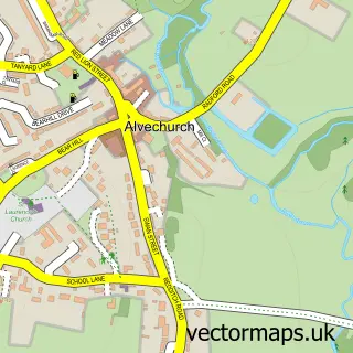
Nearby street map samples around Hollywood


More street maps in Worcestershire
750 metre map area coverage
Boundary, postcode and point of interest information for the 750m x 750m rectangle centred on this sample map.
Boundaries containing map centre
Constituency: Bromsgrove Co Const
County: Worcestershire County
District: Bromsgrove District
Icb: NHS Herefordshire and Worcestershire ICB
Parish: Wythall CP
Police Force: west mercia
Postcode District: B47
Postcode Sector: B47 5
Ward: Drakes Cross Ward
Nearby boundaries intersecting sample
Postcode Sector: B47 6
Ward: Hollywood Ward, Wythall East Ward
Postcode coverage
POI category counts
Hospital: 3
Professional Services: 3
Accountant: 2
Beauty Salon: 2
Building Supply Store: 2
Butcher Shop: 2
Church Cathedral: 2
Contractor: 2
Doctor: 2
Gym: 2
Sample points of interest
- Carrowdale
- Wilson Bott
- St Mary's Wythall
- The Active Hands Company
- Henrys barbers
- Clarins Hollywood Chemist Birmingham
- Elysian by Lauren
- Sunset
- Jones & Co Roofing Services
- Reilly's Roofing Birmingham
- Core Tech Solutions
- Lacey's Craft Butchers
Create a larger editable map of Hollywood
This sample shows only a 750 metre area. To create a larger map of Hollywood, use our map builder to choose your own coverage area, add titles and download editable SVG, PDF and PNG files.
Create a custom map of Hollywood