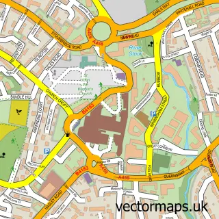
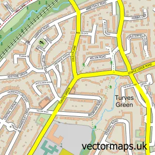
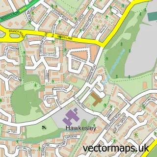
This Rednal street map is a detailed vector street map covering a 750m x 750m area. Select a larger area to create and download your own vector street map of Rednal.
The 750-metre map sample for Rednal covers 581 mapped buildings and approximately 52.6 km of road detail, of which 31 named roads are named. The immediate area includes 2 schools, 7 GP surgeries within 2 miles, 1 pub and 10 MOT stations within 2 miles. The wider area around Rednal features 6 food and drink venues. To create a larger or custom map of Rednal, the map builder lets you define your own coverage area and download editable SVG, PDF and PNG files.
Create a larger editable map of Rednal
Choose any area you need and generate a high-quality vector map instantly. Perfect for print, planning, design, business and personal use.

This Rednal street map in West Midlands is available as downloadable SVG, PDF and PNG map files, or as a printed map for planning, business, display, education, local information and design work. You can also create a larger custom map area using the map selector.
What this Rednal map sample shows
Rednal lies within Birmingham District (B) parish, part of Longbridge & West Heath ward in the Birmingham District (B) local authority area. The postcode geography for this area includes the B postcode area, the B31 postcode district and the B31 2 postcode sector. Residents fall under the Nhs Birmingham And Solihull Integrated Care Board for NHS services.
Local features near Rednal
Within 2 milesAmenities and services in and around Rednal.
Administrative and postcode information for Rednal
Rednal lies within Birmingham District (B) parish, part of Longbridge & West Heath ward in the Birmingham District (B) local authority area. The postcode geography for this area includes the B postcode area, the B31 postcode district and the B31 2 postcode sector. Residents fall under the Nhs Birmingham And Solihull Integrated Care Board for NHS services.
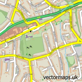
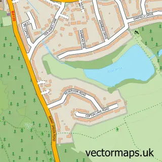
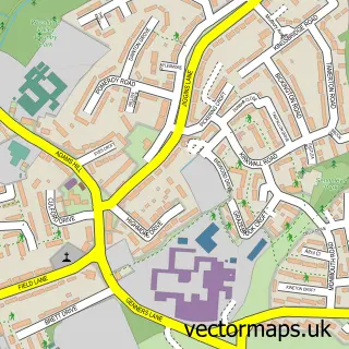
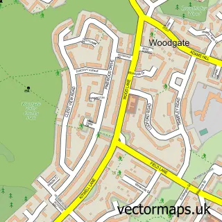
Nearby street map samples around Rednal

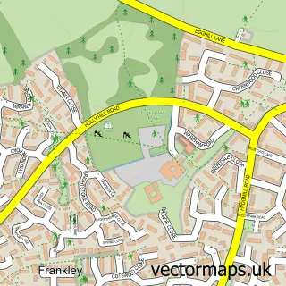
More street maps in West Midlands
750 metre map area coverage
Boundary, postcode and point of interest information for the 750m x 750m rectangle centred on this sample map.
Boundaries containing map centre
Constituency: Birmingham Northfield Boro Const
District: Birmingham District (B)
Icb: NHS Birmingham and Solihull ICB
Police Force: west midlands
Postcode District: B45
Postcode Sector: B45 8
Ward: Rubery & Rednal Ward
Nearby boundaries intersecting sample
Postcode Sector: B45 9
Ward: Longbridge & West Heath Ward
Postcode coverage
POI category counts
Cafe: 3
Contractor: 3
Hair Salon: 3
Indian Restaurant: 3
Beauty And Spa: 2
Beauty Salon: 2
Bridal Shop: 2
Building Supply Store: 2
Church Cathedral: 2
Community Center: 2
Sample points of interest
- Barnt Green Horse and Animal Rescue
- Kbo Tuning
- Look Sharp Barbers at 4 Cliff Rock Rd
- Lashesbylane
- Top Brow Birmingham
- Boo Hair & Beauty
- The Hair Lab
- Unique beauty
- Elegant Gowns
- Elegant Gowns
- Auto-Tek
- Water Spark Property Services
Create a larger editable map of Rednal
This sample shows only a 750 metre area. To create a larger map of Rednal, use our map builder to choose your own coverage area, add titles and download editable SVG, PDF and PNG files.
Create a custom map of Rednal