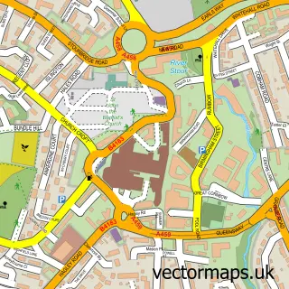
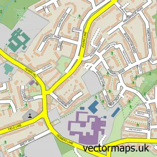
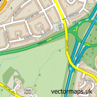
This Frankley street map is a detailed vector street map covering a 750m x 750m area. Select a larger area to create and download your own vector street map of Frankley.
The 750-metre map sample for Frankley covers 321 mapped buildings and approximately 62.0 km of road detail, of which 32 named roads are named. The immediate area includes 1 school, 11 GP surgeries within 2 miles and 10 MOT stations within 2 miles. To create a larger or custom map of Frankley, the map builder lets you define your own coverage area and download editable SVG, PDF and PNG files.
Create a larger editable map of Frankley
Choose any area you need and generate a high-quality vector map instantly. Perfect for print, planning, design, business and personal use.

This Frankley street map in West Midlands is available as downloadable SVG, PDF and PNG map files, or as a printed map for planning, business, display, education, local information and design work. You can also create a larger custom map area using the map selector.
What this Frankley map sample shows
Frankley lies within Frankley Cp parish, part of Belbroughton & Romsley ward in the Bromsgrove District local authority area. The postcode geography for this area includes the B postcode area, the B32 postcode district and the B32 4 postcode sector. Residents fall under the Nhs Herefordshire And Worcestershire Integrated Care Board for NHS services.
Local features near Frankley
Within 2 milesAmenities and services in and around Frankley.
Administrative and postcode information for Frankley
Frankley lies within Frankley Cp parish, part of Belbroughton & Romsley ward in the Bromsgrove District local authority area. The postcode geography for this area includes the B postcode area, the B32 postcode district and the B32 4 postcode sector. Residents fall under the Nhs Herefordshire And Worcestershire Integrated Care Board for NHS services.
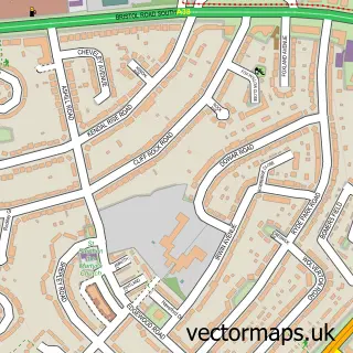
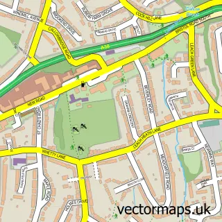
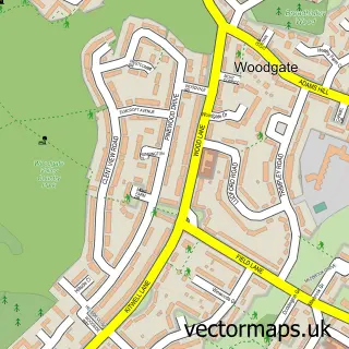
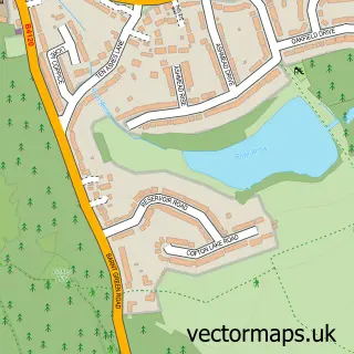
Nearby street map samples around Frankley

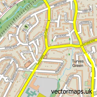
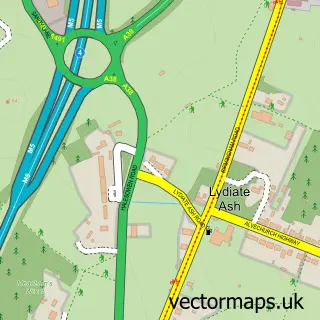
More street maps in West Midlands
750 metre map area coverage
Boundary, postcode and point of interest information for the 750m x 750m rectangle centred on this sample map.
Boundaries containing map centre
Constituency: Birmingham Northfield Boro Const
District: Birmingham District (B)
Icb: NHS Birmingham and Solihull ICB
Parish: New Frankley in Birmingham CP
Police Force: west midlands
Postcode District: B45
Postcode Sector: B45 0
Ward: Frankley Great Park Ward
Nearby boundaries intersecting sample
Constituency: Bromsgrove Co Const
County: Worcestershire County
District: Bromsgrove District
Icb: NHS Herefordshire and Worcestershire ICB
Parish: Frankley CP
Police Force: west mercia
Postcode District: B31
Postcode Sector: B31 5
Ward: Belbroughton & Romsley Ward
Postcode coverage
POI category counts
Convenience Store: 4
Elementary School: 2
Fish And Chips Restaurant: 2
Atms: 1
Bar: 1
Beach: 1
Beauty And Spa: 1
Chinese Restaurant: 1
Dance Club: 1
Hair Salon: 1
Sample points of interest
- Frankley Convenience Store, Rubery, Rednal
- Bugle horn
- Brean Beach
- Flawless PMU & Microblading
- K2 Chinese Takeaway
- Frankley's Convenience
- Londis
- Londis LONDIS WAREHAM ROAD
- Premier Wareham Road
- Bogies Disco
- Forestdale Primary School
- Forestdale Primary School
Create a larger editable map of Frankley
This sample shows only a 750 metre area. To create a larger map of Frankley, use our map builder to choose your own coverage area, add titles and download editable SVG, PDF and PNG files.
Create a custom map of Frankley