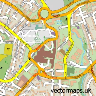
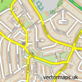
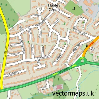
This Woodgate street map is a detailed vector street map covering a 750m x 750m area. Select a larger area to create and download your own vector street map of Woodgate.
The 750-metre map sample for Woodgate covers 274 mapped buildings and approximately 40.4 km of road detail, of which 34 named roads are named. The immediate area includes 1 school, 9 GP surgeries within 2 miles, 1 pub and 9 MOT stations within 2 miles. The wider area around Woodgate features 2 food and drink venues. To create a larger or custom map of Woodgate, the map builder lets you define your own coverage area and download editable SVG, PDF and PNG files.
Create a larger editable map of Woodgate
Choose any area you need and generate a high-quality vector map instantly. Perfect for print, planning, design, business and personal use.

This Woodgate street map in West Midlands is available as downloadable SVG, PDF and PNG map files, or as a printed map for planning, business, display, education, local information and design work. You can also create a larger custom map area using the map selector.
What this Woodgate map sample shows
Woodgate lies within Birmingham District (B) parish, part of Bartley Green ward in the Birmingham District (B) local authority area. The postcode geography for this area includes the B postcode area, the B32 postcode district and the B32 4 postcode sector. Residents fall under the Nhs Birmingham And Solihull Integrated Care Board for NHS services.
Local features near Woodgate
Within 2 milesAmenities and services in and around Woodgate.
Administrative and postcode information for Woodgate
The local authority covering Woodgate is Birmingham District (B), within the county of West Midlands. The settlement lies within Bartley Green ward and Birmingham District (B) civil parish. The B32 postcode district and B32 4 postcode sector serve the immediate area. NHS provision in the area is delivered through University Hospitals Birmingham Nhs Foundation Trust.
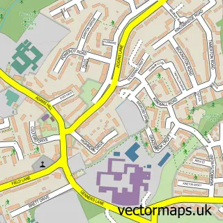
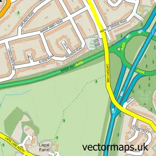
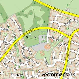
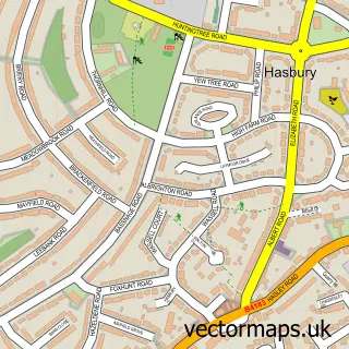
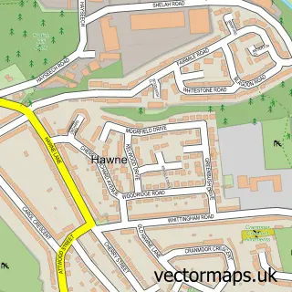
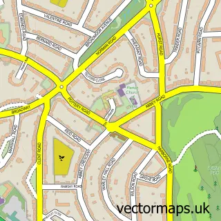
Nearby street map samples around Woodgate

More street maps in West Midlands
750 metre map area coverage
Boundary, postcode and point of interest information for the 750m x 750m rectangle centred on this sample map.
Boundaries containing map centre
Constituency: Birmingham Edgbaston Boro Const
District: Birmingham District (B)
Icb: NHS Birmingham and Solihull ICB
Police Force: west midlands
Postcode District: B32
Postcode Sector: B32 4
Ward: Bartley Green Ward
Nearby boundaries intersecting sample
Postcode Sector: B32 3
Postcode coverage
POI category counts
Fish And Chips Restaurant: 3
Convenience Store: 2
Hair Salon: 2
Retirement Home: 2
Automotive Repair: 1
Bar: 1
Barber: 1
Beauty Salon: 1
Building Contractor: 1
Carpet Installation: 1
Sample points of interest
- Tyres 2 U
- Lea Hall Allotments & Social Club, Handsworth Wood
- Beard & Bone
- Jodie's Tans & Beauty treatments
- DCA Cleaning Services
- The Local Carpet Man
- Bartley Green Community Seventh-Day Adventist Church
- Milebrook Hall
- Budgens BUDGENS - WOODGATE
- Costcutter
- Skills2deal
- Harlequin Dance Club
Create a larger editable map of Woodgate
This sample shows only a 750 metre area. To create a larger map of Woodgate, use our map builder to choose your own coverage area, add titles and download editable SVG, PDF and PNG files.
Create a custom map of Woodgate