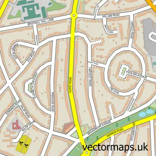
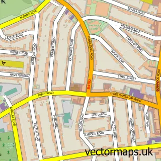
This Brandhall street map is a detailed vector street map covering a 750m x 750m area. Select a larger area to create and download your own vector street map of Brandhall.
The 750-metre map sample for Brandhall covers 379 mapped buildings and approximately 66.0 km of road detail, of which 39 named roads are named. The immediate area includes 1 school, 1 GP surgery, with 16 within 2 miles, 1 pub and 33 MOT stations within 2 miles. The wider area around Brandhall features 4 food and drink venues. To create a larger or custom map of Brandhall, the map builder lets you define your own coverage area and download editable SVG, PDF and PNG files.
Create a larger editable map of Brandhall
Choose any area you need and generate a high-quality vector map instantly. Perfect for print, planning, design, business and personal use.

This Brandhall street map in West Midlands is available as downloadable SVG, PDF and PNG map files, or as a printed map for planning, business, display, education, local information and design work. You can also create a larger custom map area using the map selector.
What this Brandhall map sample shows
Brandhall lies within Sandwell District (B) parish, part of Blackheath ward in the Sandwell District (B) local authority area. The postcode geography for this area includes the B postcode area, the B65 postcode district and the B65 9 postcode sector. Residents fall under the Nhs Black Country Integrated Care Board for NHS services.
Local features near Brandhall
Within 2 milesAmenities and services in and around Brandhall.
Administrative and postcode information for Brandhall
The local authority covering Brandhall is Sandwell District (B), within the county of West Midlands. The settlement lies within Blackheath ward and Sandwell District (B) civil parish. The B65 postcode district and B65 9 postcode sector serve the immediate area. NHS provision in the area is delivered through The Dudley Group Nhs Foundation Trust.
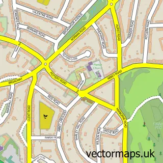
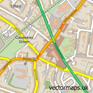
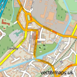
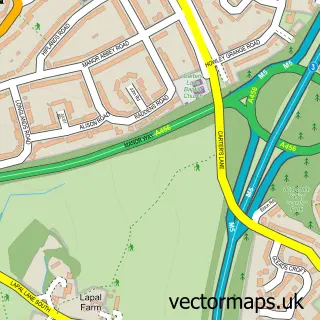
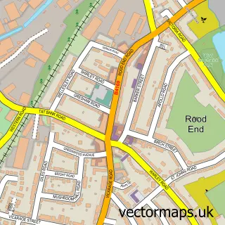
Nearby street map samples around Brandhall

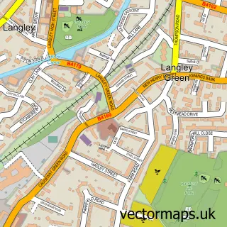

More street maps in West Midlands
750 metre map area coverage
Boundary, postcode and point of interest information for the 750m x 750m rectangle centred on this sample map.
Boundaries containing map centre
Constituency: Smethwick Boro Const
District: Sandwell District (B)
Icb: NHS Black Country ICB
Police Force: west midlands
Postcode District: B68
Postcode Sector: B68 0
Ward: Old Warley Ward
Nearby boundaries intersecting sample
No additional intersecting boundaries found.
Postcode coverage
POI category counts
Beauty Salon: 5
Community Center: 3
Hair Salon: 3
Package Locker: 3
Rental Kiosks: 3
Financial Service: 2
Indian Restaurant: 2
Martial Arts Club: 2
Active Life: 1
Assisted Living Facility: 1
Sample points of interest
- PlayR-Pro Football Academy
- Queensridge Court
- Central England Co-Op - Brandhall (ERF), Brandhall
- The Perry Hill Tavern
- Curt's Cuts Barbershop
- 1st Beauty
- Bees Beauty
- I.D Lash & Beauty
- Neapolis One Beauty
- The Doll House Salon
- Tracy Pedersen Photography
- Buttons Community Cafe
Create a larger editable map of Brandhall
This sample shows only a 750 metre area. To create a larger map of Brandhall, use our map builder to choose your own coverage area, add titles and download editable SVG, PDF and PNG files.
Create a custom map of Brandhall