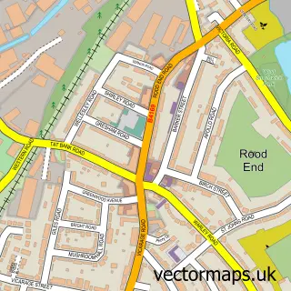
This Causeway Green street map is a detailed vector street map covering a 750m x 750m area. Select a larger area to create and download your own vector street map of Causeway Green.
The 750-metre map sample for Causeway Green covers 479 mapped buildings and approximately 53.0 km of road detail, of which 30 named roads are named. The immediate area includes 1 school, 1 GP surgery, with 17 within 2 miles, 1 pub and 2 MOT stations, with 48 within 2 miles. The wider area around Causeway Green features 2 food and drink venues. To create a larger or custom map of Causeway Green, the map builder lets you define your own coverage area and download editable SVG, PDF and PNG files.
Create a larger editable map of Causeway Green
Choose any area you need and generate a high-quality vector map instantly. Perfect for print, planning, design, business and personal use.

This Causeway Green street map in West Midlands is available as downloadable SVG, PDF and PNG map files, or as a printed map for planning, business, display, education, local information and design work. You can also create a larger custom map area using the map selector.
What this Causeway Green map sample shows
Causeway Green lies within Sandwell District (B) parish, part of Blackheath ward in the Sandwell District (B) local authority area. The postcode geography for this area includes the B postcode area, the B65 postcode district and the B65 9 postcode sector. Residents fall under the Nhs Black Country Integrated Care Board for NHS services.
Local features near Causeway Green
Within 2 milesAmenities and services in and around Causeway Green.
Administrative and postcode information for Causeway Green
Causeway Green lies within Sandwell District (B) parish, part of Blackheath ward in the Sandwell District (B) local authority area. The postcode geography for this area includes the B postcode area, the B65 postcode district and the B65 9 postcode sector. Residents fall under the Nhs Black Country Integrated Care Board for NHS services.
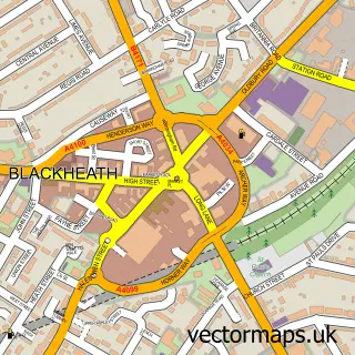
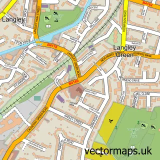
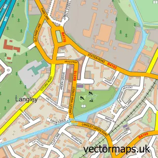
Nearby street map samples around Causeway Green


More street maps in West Midlands
750 metre map area coverage
Boundary, postcode and point of interest information for the 750m x 750m rectangle centred on this sample map.
Boundaries containing map centre
Constituency: Smethwick Boro Const
District: Sandwell District (B)
Icb: NHS Black Country ICB
Police Force: west midlands
Postcode District: B68
Postcode Sector: B68 8
Ward: Langley Ward
Nearby boundaries intersecting sample
Postcode District: B65, B69
Postcode Sector: B65 0, B69 4
Ward: Bristnall Ward
Postcode coverage
POI category counts
Automotive Repair: 5
Beauty Salon: 5
Hair Salon: 4
Indian Restaurant: 3
Pharmacy: 3
Buffet Restaurant: 2
Builders: 2
Business Office Supplies And Stationery: 2
Car Dealer: 2
Cosmetic And Beauty Supplies: 2
Sample points of interest
- PayPoint
- Warley Car Clinic
- Easy Tyre and Autocentres Oldbury
- Premier Fleet Care
- Prestige Repairs
- The Automobile Association
- Warley Car Clinic
- Personage
- Gilca Ltd.
- The Hair Academy Stylists
- Hair By Georgia-Mae
- Lisa Jay Hair Extensions
Create a larger editable map of Causeway Green
This sample shows only a 750 metre area. To create a larger map of Causeway Green, use our map builder to choose your own coverage area, add titles and download editable SVG, PDF and PNG files.
Create a custom map of Causeway Green