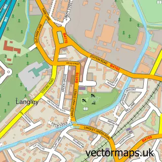
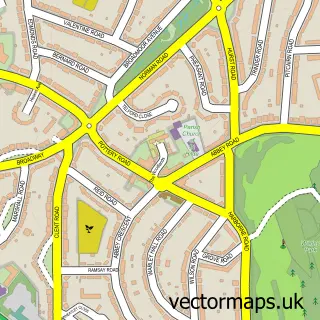
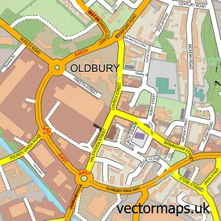
This Langley Green street map is a detailed vector street map covering a 750m x 750m area. Select a larger area to create and download your own vector street map of Langley Green.
The 750-metre map sample for Langley Green covers 471 mapped buildings and approximately 47.8 km of road detail, of which 45 named roads are named. The immediate area includes 2 schools, 1 GP surgery, with 18 within 2 miles, 4 pubs and 1 MOT station, with 51 within 2 miles. The wider area around Langley Green features 3 tourism points of interest and 6 food and drink venues. To create a larger or custom map of Langley Green, the map builder lets you define your own coverage area and download editable SVG, PDF and PNG files.
Create a larger editable map of Langley Green
Choose any area you need and generate a high-quality vector map instantly. Perfect for print, planning, design, business and personal use.

This Langley Green street map in West Midlands is available as downloadable SVG, PDF and PNG map files, or as a printed map for planning, business, display, education, local information and design work. You can also create a larger custom map area using the map selector.
What this Langley Green map sample shows
Langley Green lies within Sandwell District (B) parish, part of Oldbury ward in the Sandwell District (B) local authority area. The postcode geography for this area includes the B postcode area, the B69 postcode district and the B69 2 postcode sector. Residents fall under the Nhs Black Country Integrated Care Board for NHS services.
Local features near Langley Green
Within 2 milesAmenities and services in and around Langley Green.
Administrative and postcode information for Langley Green
The local authority covering Langley Green is Sandwell District (B), within the county of West Midlands. The settlement lies within Oldbury ward and Sandwell District (B) civil parish. The B69 postcode district and B69 2 postcode sector serve the immediate area. NHS provision in the area is delivered through Sandwell And West Birmingham Hospitals Nhs Trust.
Nearby street map samples around Langley Green
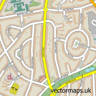

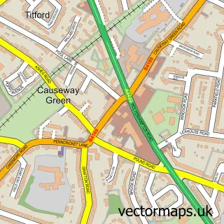
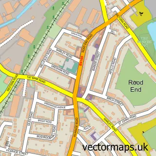

More street maps in West Midlands
750 metre map area coverage
Boundary, postcode and point of interest information for the 750m x 750m rectangle centred on this sample map.
Boundaries containing map centre
Constituency: Smethwick Boro Const
District: Sandwell District (B)
Icb: NHS Black Country ICB
Police Force: west midlands
Postcode District: B68
Postcode Sector: B68 8
Ward: Langley Ward
Nearby boundaries intersecting sample
Postcode District: B69
Postcode Sector: B69 4
Ward: Bristnall Ward, St. Pauls Ward
Postcode coverage
POI category counts
Church Cathedral: 4
Pub: 4
Beauty Salon: 3
Indian Restaurant: 3
Bakery: 2
Carpenter: 2
Courier And Delivery Services: 2
Electrician: 2
Fish And Chips Restaurant: 2
Flowers And Gifts Shop: 2
Sample points of interest
- Alfred Gunn House
- Fit Box
- Narvik Developments
- Barnford Park
- Cake Bytz
- The Village Bakery
- Little Bangla
- Cutting Crew
- Aesthetics-corner
- Enhance hair and cosmetics
- Heavenly Nails by Tina
- The Teapot
Create a larger editable map of Langley Green
This sample shows only a 750 metre area. To create a larger map of Langley Green, use our map builder to choose your own coverage area, add titles and download editable SVG, PDF and PNG files.
Create a custom map of Langley Green