Vector Maps logo
Home Why it works Popular maps Districts Samples Customizer Create Your Map
VectorMaps.uk
Home Popular maps Districts Samples Customizer Create Your Map Privacy Disclaimer
Home / UK Maps / West Midlands / Oldbury Map

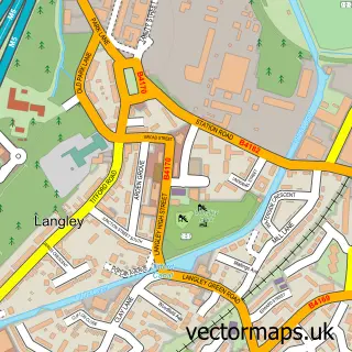
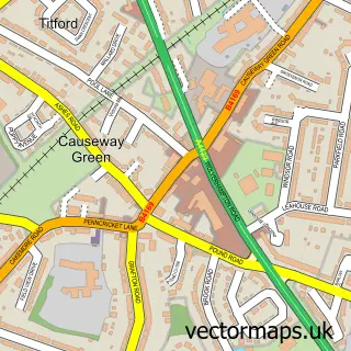
This Oldbury street map is a detailed vector street map covering a 750m x 750m area. Select a larger area to create and download your own vector street map of Oldbury.

Oldbury is a town in West Midlands, in the West Midlands of England. Historically, the area formed part of Worcestershire. The settlement falls within the West Bromwich West parliamentary constituency. It is served by the B69 postcode district, with B69 2

The 750-metre map sample for Oldbury covers 204 mapped buildings and approximately 53.3 km of road detail, of which 37 named roads are named. The immediate area includes 2 schools, 1 GP surgery, with 19 within 2 miles, 4 pubs and 3 MOT stations, with 58 within 2 miles. The wider area around Oldbury features 1 tourism point of interest, 14 food and drink venues and 1 hotel. To create a larger or custom map of Oldbury, the map builder lets you define your own coverage area and download editable SVG, PDF and PNG files.

204Buildings
53.34 kmRoads
37Named roads
48,331Residents within 2 miles
Create your own

Create a larger editable map of Oldbury

Choose any area you need and generate a high-quality vector map instantly. Perfect for print, planning, design, business and personal use.

Choose any location
Editable SVG files
Any size up to A0
PDF, PNG & more
Instant download
High quality guaranteed
Create My Custom Map
Secure, private & no credit card required
Oldbury Vector Street Map
750m Sample
Oldbury vector street map sample showing roads, buildings and local features in a 750 metre preview area
Buy Oldbury Map Print from £12.95 Buy Oldbury Digital Map from £6

This Oldbury street map in West Midlands is available as downloadable SVG, PDF and PNG map files, or as a printed map for planning, business, display, education, local information and design work. You can also create a larger custom map area using the map selector.

What this Oldbury map sample shows

Oldbury lies within Sandwell District (B) parish, part of Oldbury ward in the Sandwell District (B) local authority area. The postcode geography for this area includes the B postcode area, the B69 postcode district and the B69 2 postcode sector. Residents fall under the Nhs Black Country Integrated Care Board for NHS services.

Local features near Oldbury

Within 2 miles

Amenities and services in and around Oldbury.

2 Schools
1 GP surgeries 19 within 2 miles
3 MOT stations 58 within 2 miles
1 Tourism & leisure
14 Food & drink
4 Pubs
1 Hotels
11 Healthcare POIs
3 Vehicle services

Counts are approximate and based on publicly available data.

Administrative and postcode information for Oldbury

Oldbury lies within Sandwell District (B) parish, part of Oldbury ward in the Sandwell District (B) local authority area. The postcode geography for this area includes the B postcode area, the B69 postcode district and the B69 2 postcode sector. Residents fall under the Nhs Black Country Integrated Care Board for NHS services.

Parish SANDWELL DISTRICT (B)
Ward Oldbury
District / local authority Sandwell District (B)
County West Midlands
Historic county Worcestershire
Postcode district B69
Postcode sector B69 2
Parliamentary constituency West Bromwich West
Region West Midlands
Country England

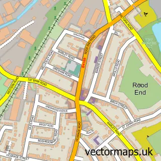
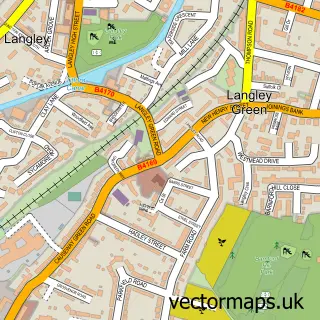
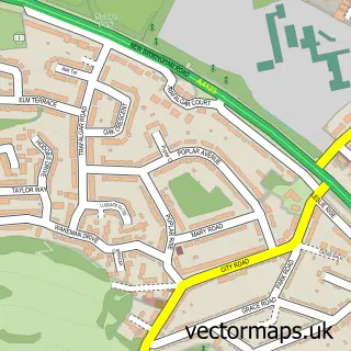
Nearby street map samples around Oldbury

Street map sample of Birmingham, West Midlands Birmingham City - West Midlands - 5.1 miles Street map sample of Langley Village, West Midlands Langley Village Village - West Midlands - 0.9 miles Street map sample of Rood End, West Midlands Rood End Village - West Midlands - 0.9 miles Street map sample of Langley Green, West Midlands Langley Green Village - West Midlands - 1.1 miles Street map sample of Tividale, West Midlands Tividale Village - West Midlands - 1.2 miles Street map sample of Causeway Green, West Midlands Causeway Green Village - West Midlands - 1.4 miles Street map sample of Oakham, West Midlands Oakham Village - West Midlands - 1.7 miles Street map sample of Rowley Village, West Midlands Rowley Village Village - West Midlands - 1.8 miles Street map sample of Kates Hill, West Midlands Kates Hill Village - West Midlands - 2.2 miles Street map sample of Warley Salop, West Midlands Warley Salop Village - West Midlands - 2.3 miles

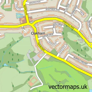
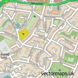
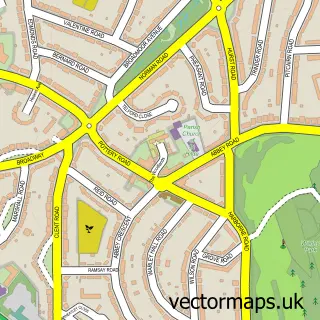
More street maps in West Midlands

Street map sample of Langley Village, West Midlands Langley Village Village - 0.9 miles Street map sample of Rood End, West Midlands Rood End Village - 0.9 miles Street map sample of Langley Green, West Midlands Langley Green Village - 1.1 miles Street map sample of Tividale, West Midlands Tividale Village - 1.2 miles Street map sample of Causeway Green, West Midlands Causeway Green Village - 1.4 miles

750 metre map area coverage

Boundary, postcode and point of interest information for the 750m x 750m rectangle centred on this sample map.

Boundaries containing map centre

Constituency: West Bromwich Boro Const

District: Sandwell District (B)

Icb: NHS Black Country ICB

Police Force: west midlands

Postcode District: B69

Postcode Sector: B69 4

Ward: Oldbury Ward

Nearby boundaries intersecting sample

Postcode Sector: B69 2, B69 3

Postcode coverage

B69 B69 4 B69 2 B69 3

POI category counts

Professional Services: 7

Car Dealer: 6

Church Cathedral: 6

Real Estate Agent: 6

Coffee Shop: 5

Furniture Store: 5

General Dentistry: 5

Bank Credit Union: 4

Beauty Salon: 4

Cafe: 4

Sample points of interest

  • Well Life Physiotherapy And Massage Acupuncture
  • Nacro Adult Education
  • Christ Church, Oldbury Anglican Church
  • Bairstow Eves Apartments
  • Sainsbury's Bank ATM Atms
  • John Hall Tyres Automotive
  • Autopoint Automotive Repair
  • Midland B M Automotive Repair
  • Secure Data Automotive Services And Repair
  • Topps Tiles Automotive Services And Repair
  • Coal-Drop B2b Energy And Mining
  • M Firkin Bakery

Create a larger editable map of Oldbury

This sample shows only a 750 metre area. To create a larger map of Oldbury, use our map builder to choose your own coverage area, add titles and download editable SVG, PDF and PNG files.

Create a custom map of Oldbury

Phone 01751 473136 | Copyright Vectormaps.uk 2026

Samples Customizer Privacy Disclaimer
Oldbury Vector Street Map
Oldbury enlarged street map sample showing a 750 metre preview area