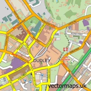
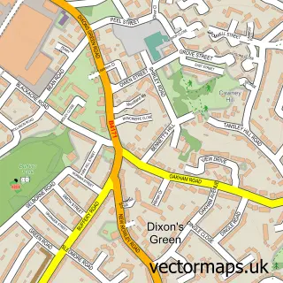
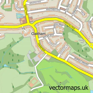
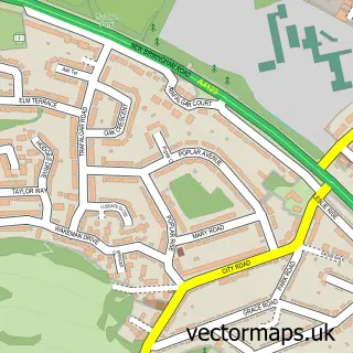
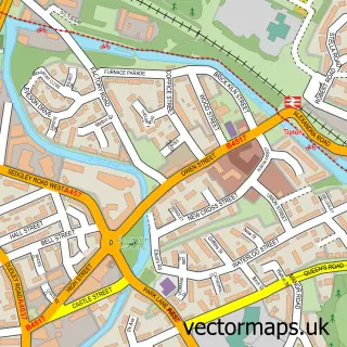
This Kates Hill street map is a detailed vector street map covering a 750m x 750m area. Select a larger area to create and download your own vector street map of Kates Hill.
The 750-metre map sample for Kates Hill covers 523 mapped buildings and approximately 70.8 km of road detail, of which 45 named roads are named. The immediate area includes 2 schools, 16 GP surgeries within 2 miles, 1 pub and 1 MOT station, with 35 within 2 miles. The wider area around Kates Hill features 3 tourism points of interest, 1 food and drink venue and 2 hotels. To create a larger or custom map of Kates Hill, the map builder lets you define your own coverage area and download editable SVG, PDF and PNG files.
Create a larger editable map of Kates Hill
Choose any area you need and generate a high-quality vector map instantly. Perfect for print, planning, design, business and personal use.

This Kates Hill street map in West Midlands is available as downloadable SVG, PDF and PNG map files, or as a printed map for planning, business, display, education, local information and design work. You can also create a larger custom map area using the map selector.
What this Kates Hill map sample shows
Kates Hill lies within Dudley District (B) parish, part of Castle And Priory ward in the Dudley District (B) local authority area. The postcode geography for this area includes the DY postcode area, the DY1 postcode district and the DY1 4 postcode sector. Residents fall under the Nhs Black Country Integrated Care Board for NHS services.
Local features near Kates Hill
Within 2 milesAmenities and services in and around Kates Hill.
Administrative and postcode information for Kates Hill
The local authority covering Kates Hill is Dudley District (B), within the county of West Midlands. The settlement lies within Castle And Priory ward and Dudley District (B) civil parish. The DY1 postcode district and DY1 4 postcode sector serve the immediate area. NHS provision in the area is delivered through The Dudley Group Nhs Foundation Trust.
Nearby street map samples around Kates Hill


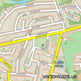
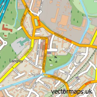
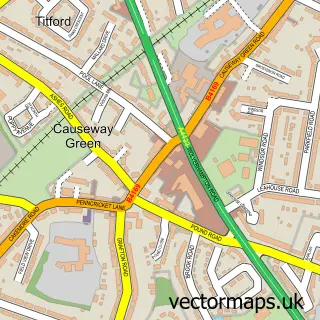
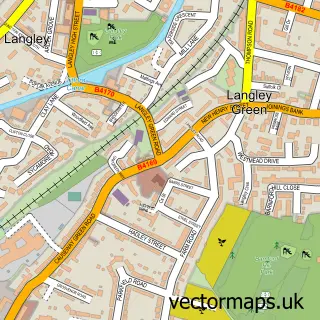
More street maps in West Midlands
750 metre map area coverage
Boundary, postcode and point of interest information for the 750m x 750m rectangle centred on this sample map.
Boundaries containing map centre
Constituency: Dudley Boro Const
District: Dudley District (B)
Icb: NHS Black Country ICB
Police Force: west midlands
Postcode District: DY2
Postcode Sector: DY2 7
Ward: St. Thomas's Ward
Nearby boundaries intersecting sample
Constituency: West Bromwich Boro Const
District: Sandwell District (B)
Postcode District: B69, DY1
Postcode Sector: B69 1, DY1 4
Ward: Castle & Priory Ward, Tividale Ward
Postcode coverage
POI category counts
Elementary School: 4
Beauty Salon: 2
Casino: 2
Convenience Store: 2
Hotel: 2
Package Locker: 2
Professional Services: 2
Accountant: 1
Active Life: 1
Advertising Agency: 1
Sample points of interest
- Blake & Co.
- Leap Dudley
- Ark Studios
- Parish Hall & Worship Centre St. John the Evangelist
- Harper Sperring
- Freebodies Tavern
- Payzone
- Jasmine Road Community Gardens
- Burnt Tree Auto Centres
- Premier Tyres
- Gadd's Special Cakes Showroom
- Black Country Traditional Inns
Create a larger editable map of Kates Hill
This sample shows only a 750 metre area. To create a larger map of Kates Hill, use our map builder to choose your own coverage area, add titles and download editable SVG, PDF and PNG files.
Create a custom map of Kates Hill