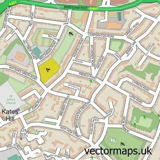
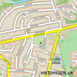
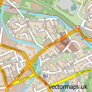
This Dudley street map is a detailed vector street map covering a 750m x 750m area. Select a larger area to create and download your own vector street map of Dudley.
The 750-metre map sample for Dudley covers 192 mapped buildings and approximately 59.6 km of road detail, of which 45 named roads are named. The immediate area includes 16 GP surgeries within 2 miles, 17 pubs and 3 MOT stations, with 35 within 2 miles. The wider area around Dudley features 7 tourism points of interest and 50 food and drink venues. To create a larger or custom map of Dudley, the map builder lets you define your own coverage area and download editable SVG, PDF and PNG files.
Create a larger editable map of Dudley
Choose any area you need and generate a high-quality vector map instantly. Perfect for print, planning, design, business and personal use.

This Dudley street map in West Midlands is available as downloadable SVG, PDF and PNG map files, or as a printed map for planning, business, display, education, local information and design work. You can also create a larger custom map area using the map selector.
What this Dudley map sample shows
Dudley lies within Dudley District (B) parish, part of Castle And Priory ward in the Dudley District (B) local authority area. The postcode geography for this area includes the DY postcode area, the DY1 postcode district and the DY1 4 postcode sector. Residents fall under the Nhs Black Country Integrated Care Board for NHS services.
Local features near Dudley
Within 2 milesAmenities and services in and around Dudley.
Administrative and postcode information for Dudley
Dudley lies within Dudley District (B) parish, part of Castle And Priory ward in the Dudley District (B) local authority area. The postcode geography for this area includes the DY postcode area, the DY1 postcode district and the DY1 4 postcode sector. Residents fall under the Nhs Black Country Integrated Care Board for NHS services.
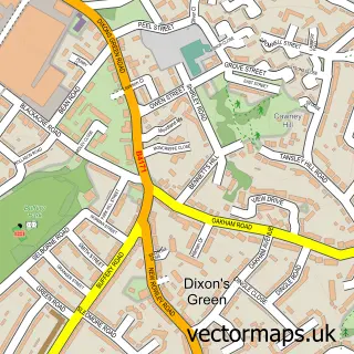
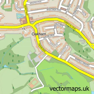
Nearby street map samples around Dudley

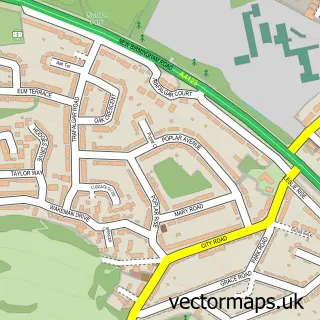

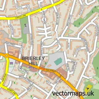
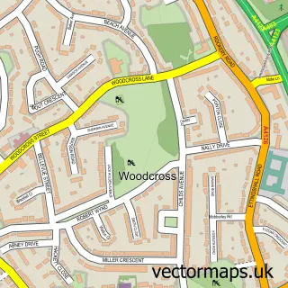
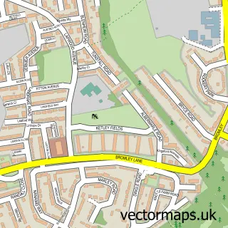
More street maps in West Midlands
750 metre map area coverage
Boundary, postcode and point of interest information for the 750m x 750m rectangle centred on this sample map.
Boundaries containing map centre
Constituency: Dudley Boro Const
District: Dudley District (B)
Icb: NHS Black Country ICB
Police Force: west midlands
Postcode District: DY1
Postcode Sector: DY1 1
Ward: St. James's Ward
Nearby boundaries intersecting sample
Postcode District: DY2
Postcode Sector: DY1 3, DY1 4, DY2 7, DY2 8
Ward: Castle & Priory Ward, St. Thomas's Ward
Postcode coverage
POI category counts
Clothing Store: 19
Employment Agencies: 18
Pub: 17
Professional Services: 16
Beauty Salon: 15
Cafe: 15
Hair Salon: 14
Bank Credit Union: 13
Flowers And Gifts Shop: 13
Furniture Store: 10
Sample points of interest
- Haaris and Co. Accountants
- PPG Accountants Ltd.
- PSJ & Co Accountants Ltd
- Price Pearson
- RR Accountancy
- Eclipse Dance Academy
- Platinum Training
- Impact Training
- Demons Gentlemen's Club
- Appstack
- Verticem
- Ekhaya Restaurant Bar & Grill
Create a larger editable map of Dudley
This sample shows only a 750 metre area. To create a larger map of Dudley, use our map builder to choose your own coverage area, add titles and download editable SVG, PDF and PNG files.
Create a custom map of Dudley