Vector Maps logo
Home Why it works Popular maps Districts Samples Customizer Create Your Map
VectorMaps.uk
Home Popular maps Districts Samples Customizer Create Your Map Privacy Disclaimer
Home / UK Maps / West Midlands / Tipton Map

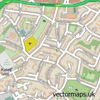
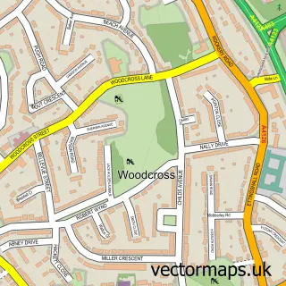
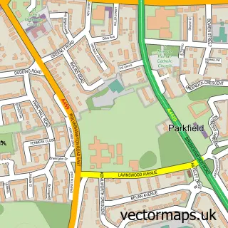
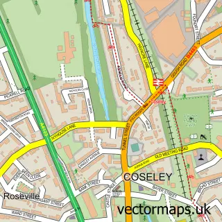
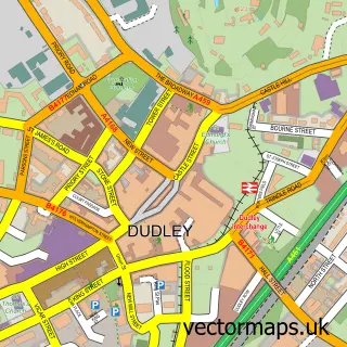
This Tipton street map is a detailed vector street map covering a 750m x 750m area. Select a larger area to create and download your own vector street map of Tipton.

Tipton is a town in West Midlands, in the West Midlands of England. Historically, the area formed part of Staffordshire. The settlement falls within the West Bromwich West parliamentary constituency. It is served by the DY4 postcode district, with DY4 8 a

The 750-metre map sample for Tipton covers 332 mapped buildings and approximately 59.1 km of road detail, of which 56 named roads are named. The immediate area includes 2 schools, 1 railway station, 1 GP surgery, with 18 within 2 miles and 6 pubs among other local services. The wider area around Tipton features 10 food and drink venues and 1 hotel. To create a larger or custom map of Tipton, the map builder lets you define your own coverage area and download editable SVG, PDF and PNG files.

332Buildings
59.08 kmRoads
56Named roads
52,530Residents within 2 miles
Create your own

Create a larger editable map of Tipton

Choose any area you need and generate a high-quality vector map instantly. Perfect for print, planning, design, business and personal use.

Choose any location
Editable SVG files
Any size up to A0
PDF, PNG & more
Instant download
High quality guaranteed
Create My Custom Map
Secure, private & no credit card required
Tipton Vector Street Map
750m Sample
Tipton vector street map sample showing roads, buildings and local features in a 750 metre preview area
Buy Tipton Map Print from £12.95 Buy Tipton Digital Map from £6

This Tipton street map in West Midlands is available as downloadable SVG, PDF and PNG map files, or as a printed map for planning, business, display, education, local information and design work. You can also create a larger custom map area using the map selector.

What this Tipton map sample shows

Tipton lies within Sandwell District (B) parish, part of Tipton Green ward in the Sandwell District (B) local authority area. The postcode geography for this area includes the DY postcode area, the DY4 postcode district and the DY4 8 postcode sector. Residents fall under the Nhs Black Country Integrated Care Board for NHS services.

Local features near Tipton

Within 2 miles

Amenities and services in and around Tipton.

2 Schools
1 Railway stations
1 GP surgeries 18 within 2 miles
2 MOT stations 38 within 2 miles
10 Food & drink
6 Pubs
1 Hotels
7 Healthcare POIs
5 Vehicle services

Counts are approximate and based on publicly available data.

Administrative and postcode information for Tipton

Tipton lies within Sandwell District (B) parish, part of Tipton Green ward in the Sandwell District (B) local authority area. The postcode geography for this area includes the DY postcode area, the DY4 postcode district and the DY4 8 postcode sector. Residents fall under the Nhs Black Country Integrated Care Board for NHS services.

Parish SANDWELL DISTRICT (B)
Ward Tipton Green
District / local authority Sandwell District (B)
County West Midlands
Historic county Staffordshire
Postcode district DY4
Postcode sector DY4 8
Parliamentary constituency West Bromwich West
Region West Midlands
Country England

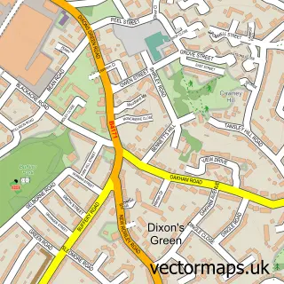
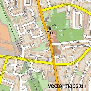
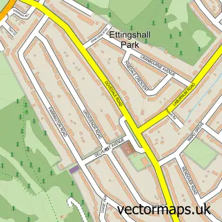
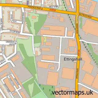
Nearby street map samples around Tipton

Street map sample of Wolverhampton, West Midlands Wolverhampton City - West Midlands - 4.6 miles Street map sample of Kates Hill, West Midlands Kates Hill Village - West Midlands - 1.3 miles Street map sample of Dixons Green, West Midlands Dixons Green Village - West Midlands - 1.7 miles Street map sample of Tividale, West Midlands Tividale Village - West Midlands - 1.8 miles Street map sample of Oakham, West Midlands Oakham Village - West Midlands - 2.0 miles Street map sample of Woodcross, West Midlands Woodcross Village - West Midlands - 2.0 miles Street map sample of Hill Top, West Midlands Hill Top Village - West Midlands - 2.5 miles Street map sample of Ettingshall Park, West Midlands Ettingshall Park Village - West Midlands - 2.6 miles Street map sample of Ettingshall, West Midlands Ettingshall Village - West Midlands - 2.8 miles Street map sample of Parkfield, West Midlands Parkfield Village - West Midlands - 3.1 miles

More street maps in West Midlands

Street map sample of Coseley, West Midlands Coseley Town - 1.3 miles Street map sample of Kates Hill, West Midlands Kates Hill Village - 1.3 miles Street map sample of Dudley, West Midlands Dudley Town - 1.3 miles Street map sample of Dixons Green, West Midlands Dixons Green Village - 1.7 miles Street map sample of Tividale, West Midlands Tividale Village - 1.8 miles

750 metre map area coverage

Boundary, postcode and point of interest information for the 750m x 750m rectangle centred on this sample map.

Boundaries containing map centre

Constituency: Tipton and Wednesbury Boro Const

District: Sandwell District (B)

Icb: NHS Black Country ICB

Police Force: west midlands

Postcode District: DY4

Postcode Sector: DY4 8

Ward: Tipton Green Ward

Nearby boundaries intersecting sample

Postcode Sector: DY4 9

Postcode coverage

DY4 DY4 8 DY4 9

POI category counts

Funeral Services And Cemeteries: 8

Pub: 6

Automotive Repair: 5

Convenience Store: 5

Dentist: 5

Indian Restaurant: 5

Beauty Salon: 4

Furniture Store: 4

Martial Arts Club: 4

Atms: 3

Sample points of interest

  • Ratalicious Rat Rescue Animal Shelter
  • Airneed Limited Appliance Manufacturer
  • Anglo Caribbean Exports Appliance Manufacturer
  • Spice Lounge Asian Restaurant
  • ATM (Post Office) Atms
  • PayPoint Atms
  • Payzone Atms
  • PJ's Autos Auto Body Shop
  • Car Care Repair Automotive
  • Smart Care Automotive
  • A1 Clutches Automotive Repair
  • A1 Clutches Automotive Repair

Create a larger editable map of Tipton

This sample shows only a 750 metre area. To create a larger map of Tipton, use our map builder to choose your own coverage area, add titles and download editable SVG, PDF and PNG files.

Create a custom map of Tipton

Phone 01751 473136 | Copyright Vectormaps.uk 2026

Samples Customizer Privacy Disclaimer
Tipton Vector Street Map
Tipton enlarged street map sample showing a 750 metre preview area